2816 Forrester Rd Albany, GA 31721
Estimated Value: $315,000 - $553,000
4
Beds
3
Baths
4,320
Sq Ft
$109/Sq Ft
Est. Value
About This Home
This home is located at 2816 Forrester Rd, Albany, GA 31721 and is currently estimated at $469,374, approximately $108 per square foot. 2816 Forrester Rd is a home located in Dougherty County with nearby schools including Live Oak Elementary School, Merry Acres Middle School, and Westover High School.
Ownership History
Date
Name
Owned For
Owner Type
Purchase Details
Closed on
Aug 23, 2018
Sold by
Rosales Barbara Reed
Bought by
Heffernan Reed P
Current Estimated Value
Purchase Details
Closed on
Mar 27, 2000
Sold by
Pritchett Norman P
Bought by
Rosales Barbara R
Purchase Details
Closed on
Dec 23, 1998
Sold by
Maurice D Gortatowsky
Bought by
Pritchett Norman P
Purchase Details
Closed on
Aug 10, 1998
Sold by
Powell Family Investments Etal
Bought by
Maurice D Gortatowsky
Purchase Details
Closed on
Jan 30, 1998
Sold by
Alice Walker Field Uni-Trust
Bought by
Powell Family Investments Etal
Create a Home Valuation Report for This Property
The Home Valuation Report is an in-depth analysis detailing your home's value as well as a comparison with similar homes in the area
Home Values in the Area
Average Home Value in this Area
Purchase History
| Date | Buyer | Sale Price | Title Company |
|---|---|---|---|
| Heffernan Reed P | -- | -- | |
| Rosales Barbara R | $92,400 | -- | |
| Pritchett Norman P | -- | -- | |
| Maurice D Gortatowsky | $47,200 | -- | |
| Powell Family Investments Etal | -- | -- |
Source: Public Records
Tax History Compared to Growth
Tax History
| Year | Tax Paid | Tax Assessment Tax Assessment Total Assessment is a certain percentage of the fair market value that is determined by local assessors to be the total taxable value of land and additions on the property. | Land | Improvement |
|---|---|---|---|---|
| 2024 | $6,244 | $135,120 | $19,680 | $115,440 |
| 2023 | $6,247 | $135,120 | $19,680 | $115,440 |
| 2022 | $6,261 | $135,120 | $19,680 | $115,440 |
| 2021 | $5,796 | $135,120 | $19,680 | $115,440 |
| 2020 | $5,805 | $135,120 | $19,680 | $115,440 |
| 2019 | $5,819 | $135,120 | $19,680 | $115,440 |
| 2018 | $5,321 | $123,240 | $19,680 | $103,560 |
| 2017 | $4,951 | $123,240 | $19,680 | $103,560 |
| 2016 | $4,955 | $123,240 | $19,680 | $103,560 |
| 2015 | $4,963 | $123,240 | $19,680 | $103,560 |
| 2014 | $4,894 | $123,240 | $19,680 | $103,560 |
Source: Public Records
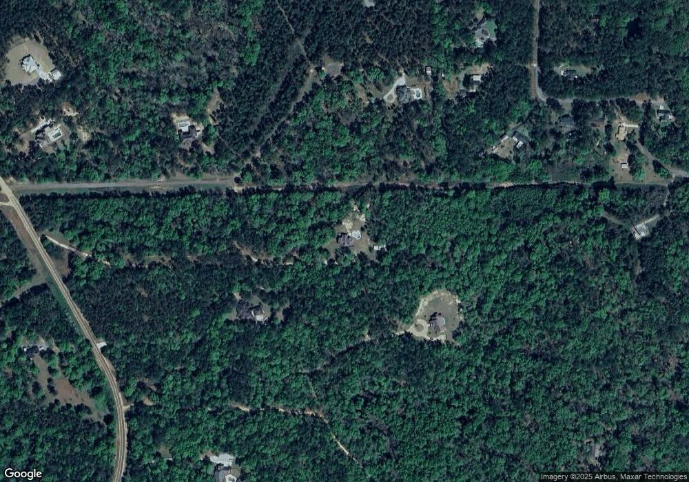
Map
Nearby Homes
- 2613 Birchwood Dr
- 2604 Birchwood Dr
- 2602 Birchwood Dr
- 5601 Ironwood Ct
- 5500 Ironwood Ct
- 5601 Oak Borough Ln
- 5504 Ironwood Ct
- 5607 Oak Borough Ln
- 5508 Ironwood Ct
- 2619 Old Ivy Ln
- 2611 Old Ivy Ln
- 2601 Old Ivy Ln
- 2300 Rosemont Ct
- 5631 Old Dawson Rd
- 1010 Spring Hill Dr
- 1020 Spring Hill Dr
- 680 Winifred Rd
- 695 Winifred Rd
- 107 Beowulf Ln
- 109 Lambeth Ct
- 2802 Forrester Rd
- 292 Covey Cove Dr
- 2808 Forrester Rd
- LOT 5 Covey Cove Dr
- Lot 3 Covey Cove Dr
- 1049 Wadsworth Dr
- 163 Covey Cove Dr
- 0 Wadsworth Rd Unit 7322701
- 989 Wadsworth Dr
- 1073 Wadsworth Dr
- 1585 Wadsworth Dr
- 965 Wadsworth Dr
- 345 Covey Cove Dr
- 1038 Wadsworth Dr
- 1115 Wadsworth Dr
- 901 Wadsworth Dr
- 15 Covey Cove Dr
- 2716 Forrester Rd
- 1131 Wadsworth Dr
- 2801 Forrester Rd