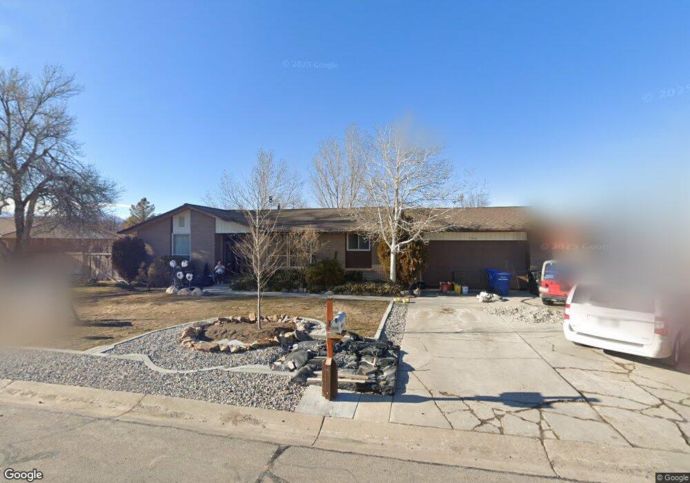
2816 W 6680 S West Jordan, UT 84084
Estimated Value: $577,000 - $639,000
4
Beds
3
Baths
2,822
Sq Ft
$211/Sq Ft
Est. Value
About This Home
This home is located at 2816 W 6680 S, West Jordan, UT 84084 and is currently estimated at $596,775, approximately $211 per square foot. 2816 W 6680 S is a home located in Salt Lake County with nearby schools including West Jordan Middle School, West Jordan High School, and Learning Tree School - Southwest.
Ownership History
Date
Name
Owned For
Owner Type
Purchase Details
Closed on
Aug 6, 2002
Sold by
Mcculloch David and American Investment Mtg Inc
Bought by
Federal Home Loan Mortgage Corporation
Current Estimated Value
Purchase Details
Closed on
May 9, 1997
Sold by
Mcculloch David
Bought by
Mcculloch David
Home Financials for this Owner
Home Financials are based on the most recent Mortgage that was taken out on this home.
Original Mortgage
$33,898
Interest Rate
7.68%
Purchase Details
Closed on
Oct 10, 1995
Sold by
Fox Kenneth N and Buckner Shelley
Bought by
Mcculloch David
Home Financials for this Owner
Home Financials are based on the most recent Mortgage that was taken out on this home.
Original Mortgage
$103,109
Interest Rate
7.8%
Mortgage Type
FHA
Create a Home Valuation Report for This Property
The Home Valuation Report is an in-depth analysis detailing your home's value as well as a comparison with similar homes in the area
Home Values in the Area
Average Home Value in this Area
Purchase History
| Date | Buyer | Sale Price | Title Company |
|---|---|---|---|
| Federal Home Loan Mortgage Corporation | $141,458 | Backman Stewart Title Svcs | |
| Mcculloch David | -- | -- | |
| Mcculloch David | -- | -- |
Source: Public Records
Mortgage History
| Date | Status | Borrower | Loan Amount |
|---|---|---|---|
| Previous Owner | Mcculloch David | $33,898 | |
| Previous Owner | Mcculloch David | $103,109 |
Source: Public Records
Tax History Compared to Growth
Tax History
| Year | Tax Paid | Tax Assessment Tax Assessment Total Assessment is a certain percentage of the fair market value that is determined by local assessors to be the total taxable value of land and additions on the property. | Land | Improvement |
|---|---|---|---|---|
| 2025 | $2,673 | $548,700 | $195,700 | $353,000 |
| 2024 | $2,673 | $514,300 | $188,200 | $326,100 |
| 2023 | $2,631 | $477,000 | $186,400 | $290,600 |
| 2022 | $2,707 | $483,000 | $182,700 | $300,300 |
| 2021 | $2,165 | $351,600 | $152,300 | $199,300 |
| 2020 | $2,200 | $335,300 | $152,300 | $183,000 |
| 2019 | $2,140 | $319,800 | $127,900 | $191,900 |
| 2018 | $1,987 | $294,500 | $119,100 | $175,400 |
| 2017 | $1,864 | $275,100 | $119,100 | $156,000 |
| 2016 | $1,849 | $256,400 | $119,100 | $137,300 |
| 2015 | $1,757 | $237,500 | $121,300 | $116,200 |
| 2014 | $1,604 | $213,500 | $110,000 | $103,500 |
Source: Public Records
Map
Nearby Homes
- 6512 Timpanogos Way
- 2683 W Carson Ln
- 6453 Fremont Peak Cir
- 6918 S Harvest Cir
- 6893 S 3200 W
- 3052 W Matterhorn Dr
- 8524 S Michele River Ave W Unit 109
- 3226 Tysonbrook Ct
- 6672 S 3335 W
- 2421 W 6900 S
- 3305 W Kingsbrook Ave
- 2333 W Ledgewood Dr
- 3383 W 6880 S
- 1824 W 6200 S
- 2332 Broderick Dr
- 6482 S Gold Medal Dr
- 6095 S Sierra Grande Dr
- 6222 S Westbrook Dr
- 3537 W Green Springs Ln
- 3538 W Biathlon Cir