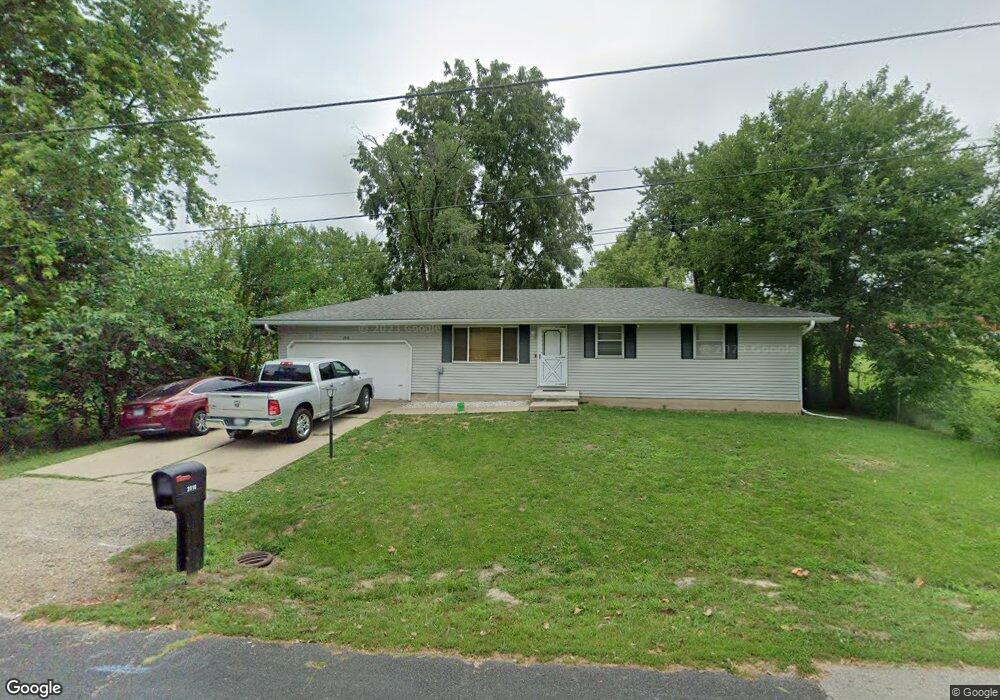
2816 W Flint St Peoria, IL 61604
Sterling Oaks NeighborhoodEstimated Value: $82,000 - $101,272
3
Beds
1
Bath
974
Sq Ft
$97/Sq Ft
Est. Value
About This Home
This home is located at 2816 W Flint St, Peoria, IL 61604 and is currently estimated at $94,818, approximately $97 per square foot. 2816 W Flint St is a home located in Peoria County with nearby schools including Dr Maude A Sanders Primary School, Sterling Middle School, and Peoria High School.
Ownership History
Date
Name
Owned For
Owner Type
Purchase Details
Closed on
Nov 20, 2018
Sold by
Kevin Howe
Bought by
Bailey Scedric L
Current Estimated Value
Home Financials for this Owner
Home Financials are based on the most recent Mortgage that was taken out on this home.
Original Mortgage
$61,750
Outstanding Balance
$54,407
Interest Rate
4.9%
Mortgage Type
New Conventional
Estimated Equity
$40,411
Purchase Details
Closed on
Aug 19, 2011
Bought by
Howe Kevin
Create a Home Valuation Report for This Property
The Home Valuation Report is an in-depth analysis detailing your home's value as well as a comparison with similar homes in the area
Home Values in the Area
Average Home Value in this Area
Purchase History
| Date | Buyer | Sale Price | Title Company |
|---|---|---|---|
| Bailey Scedric L | $65,000 | Attorney Only | |
| Bailey Scedric L | $65,000 | Johnson Bunce & Noble Pc | |
| Howe Kevin | $75,000 | -- |
Source: Public Records
Mortgage History
| Date | Status | Borrower | Loan Amount |
|---|---|---|---|
| Open | Bailey Scedric L | $61,750 | |
| Closed | Bailey Scedric L | $61,750 |
Source: Public Records
Tax History Compared to Growth
Tax History
| Year | Tax Paid | Tax Assessment Tax Assessment Total Assessment is a certain percentage of the fair market value that is determined by local assessors to be the total taxable value of land and additions on the property. | Land | Improvement |
|---|---|---|---|---|
| 2024 | $1,860 | $26,560 | $3,380 | $23,180 |
| 2023 | $1,728 | $24,370 | $3,100 | $21,270 |
| 2022 | $1,613 | $22,720 | $2,920 | $19,800 |
| 2021 | $1,555 | $21,640 | $2,780 | $18,860 |
| 2020 | $1,545 | $21,420 | $2,750 | $18,670 |
| 2019 | $1,580 | $21,860 | $2,810 | $19,050 |
| 2018 | $1,846 | $24,950 | $2,840 | $22,110 |
| 2017 | $1,851 | $25,200 | $2,870 | $22,330 |
| 2016 | $1,788 | $25,200 | $2,870 | $22,330 |
| 2015 | $1,764 | $24,700 | $2,810 | $21,890 |
| 2014 | $1,770 | $25,160 | $2,670 | $22,490 |
| 2013 | -- | $25,460 | $2,700 | $22,760 |
Source: Public Records
Map
Nearby Homes
- 1908 N Idaho St
- 2230 N Idaho St
- 2407 N Northcrest Dr
- 2523 N Rockwood Dr
- 2905 W Kingston Ct
- 2602 N Woodhaven Dr
- 2635 N Kingston Dr
- 2530 W Magnolia Ave
- 1320 N Rhodora Ave
- 2021 W Newman Pkwy
- 3018 W Wardcliffe Dr
- 2112 W Colorado St
- 1325 N Park Rd
- 2626 W Heading Ave
- 2829 N Harper Terrace
- 2822 N Easton Place
- 2315 W Hudson St
- 2505 N Hilltop Ct
- 809 N Idaho St
- 807 N Ashland Ave
- 2015 N Lehman Rd
- 2019 N Lehman Rd
- 2011 N Lehman Rd
- 2821 W Flint St
- 2005 N Lehman Rd
- 2817 W Flint St
- 2819 W Flint St
- 2807 W Flint St
- 2811 W Flint St
- 2108 N Ardell Place
- 2107 N Lehman Rd
- 2112 N Ardell Place
- 2710 W Flint St
- 2010 N Lehman Rd
- 2105 N Ardell Place
- 2725 W Kansas St
- 2117 N Lehman Rd
- 2116 N Ardell Place
- 2016 N Lehman Rd
- 2107 N Ardell Place