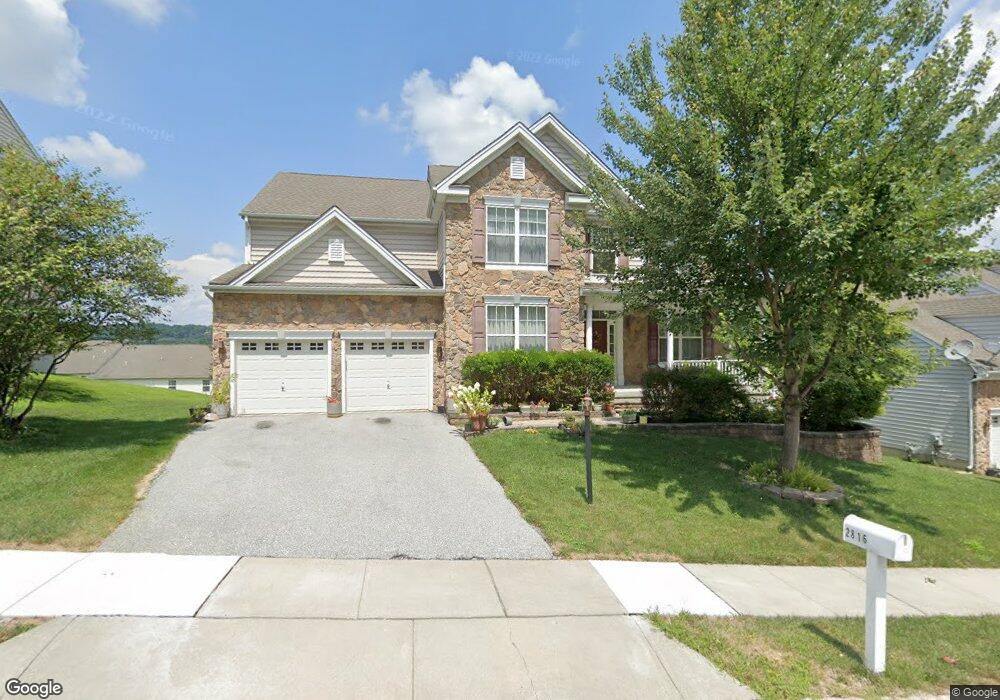
2816 Westerham Rd Downingtown, PA 19335
Estimated Value: $570,397 - $627,000
4
Beds
3
Baths
3,554
Sq Ft
$168/Sq Ft
Est. Value
About This Home
This home is located at 2816 Westerham Rd, Downingtown, PA 19335 and is currently estimated at $596,099, approximately $167 per square foot. 2816 Westerham Rd is a home located in Chester County with nearby schools including Caln Elementary School, Coatesville Intermediate High School, and Coatesville Area Senior High School.
Ownership History
Date
Name
Owned For
Owner Type
Purchase Details
Closed on
Nov 18, 2005
Sold by
B Station Reserve Llc
Bought by
Jones Erskine I and Jones Valmay
Current Estimated Value
Home Financials for this Owner
Home Financials are based on the most recent Mortgage that was taken out on this home.
Original Mortgage
$281,520
Interest Rate
6.27%
Mortgage Type
Fannie Mae Freddie Mac
Create a Home Valuation Report for This Property
The Home Valuation Report is an in-depth analysis detailing your home's value as well as a comparison with similar homes in the area
Home Values in the Area
Average Home Value in this Area
Purchase History
| Date | Buyer | Sale Price | Title Company |
|---|---|---|---|
| Jones Erskine I | $383,283 | None Available |
Source: Public Records
Mortgage History
| Date | Status | Borrower | Loan Amount |
|---|---|---|---|
| Previous Owner | Jones Erskine I | $281,520 |
Source: Public Records
Tax History
| Year | Tax Paid | Tax Assessment Tax Assessment Total Assessment is a certain percentage of the fair market value that is determined by local assessors to be the total taxable value of land and additions on the property. | Land | Improvement |
|---|---|---|---|---|
| 2025 | $12,113 | $233,040 | $30,380 | $202,660 |
| 2024 | $12,113 | $233,040 | $30,380 | $202,660 |
| 2023 | $11,861 | $233,040 | $30,380 | $202,660 |
| 2022 | $11,263 | $233,040 | $30,380 | $202,660 |
| 2021 | $10,909 | $233,040 | $30,380 | $202,660 |
| 2020 | $10,727 | $233,040 | $30,380 | $202,660 |
| 2019 | $5,265 | $233,040 | $30,380 | $202,660 |
| 2018 | $9,960 | $233,040 | $30,380 | $202,660 |
| 2017 | $9,621 | $233,040 | $30,380 | $202,660 |
| 2016 | $7,548 | $233,040 | $30,380 | $202,660 |
| 2015 | $7,548 | $233,040 | $30,380 | $202,660 |
| 2014 | $7,548 | $233,040 | $30,380 | $202,660 |
Source: Public Records
Map
Nearby Homes
- 3033 Honeymead Rd
- 2932 Avebury Stone Cir
- 8 Widham Ln
- Mozart 2-Story Plan at Thorndale Woods - Towns
- Aria Plan at Thorndale Woods - Towns
- Roxbury Grande Plan at Thorndale Woods - Towns
- Ballad Plan at Thorndale Woods - Towns
- 119 Turnberry Dr
- Powell Plan at Thorndale Woods - Singles
- Roanoke Plan at Thorndale Woods - Singles
- Saint Lawrence Plan at Thorndale Woods - Singles
- 217 Turnberry Dr
- 3262 Walnut St
- 284 Derby Dr
- 150 Seltzer Ave
- 373 Adams St Unit 31C
- 13 Courtney Ln
- 1661 Hydrangea Way
- 92 Embreeville Rd
- 1464 W Stonington Dr
- 2820 Westerham Rd
- 2812 Westerham Rd
- 2817 Westerham Rd
- 2712 Shelburne Rd
- 2710 Shelburne Rd
- 2708 Shelburne Rd
- 2716 Shelburne Rd Unit 136W
- 2821 Westerham Rd
- 2706 Shelburne Rd
- 2824 Westerham Rd
- 2718 Shelburne Rd Unit 136W
- 2813 Westerham Rd
- 2720 Shelburne Rd
- 2704 Shelburne Rd Unit 130W
- 2722 Shelburne Rd
- 2702 Shelburne Rd
- 2724 Shelburne Rd Unit 139W
- 2825 Westerham Rd
- 2809 Westerham Rd
- 2089 Westerham Rd
Your Personal Tour Guide
Ask me questions while you tour the home.