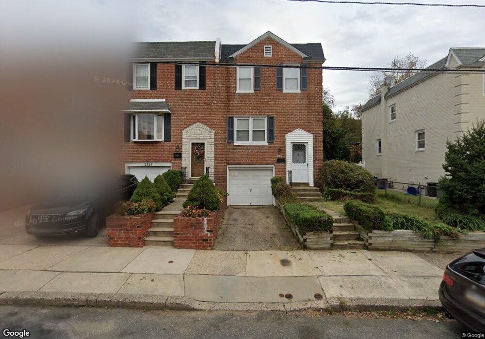
2817 Angus Rd Philadelphia, PA 19114
Torresdale NeighborhoodEstimated Value: $280,000 - $306,000
3
Beds
1
Bath
1,296
Sq Ft
$228/Sq Ft
Est. Value
About This Home
This home is located at 2817 Angus Rd, Philadelphia, PA 19114 and is currently estimated at $294,924, approximately $227 per square foot. 2817 Angus Rd is a home located in Philadelphia County with nearby schools including Lincoln High School, Robert B. Pollock School, and Meehan Austin Middle School.
Ownership History
Date
Name
Owned For
Owner Type
Purchase Details
Closed on
Sep 9, 2006
Sold by
Caserta Irene S
Bought by
Caserta James A
Current Estimated Value
Create a Home Valuation Report for This Property
The Home Valuation Report is an in-depth analysis detailing your home's value as well as a comparison with similar homes in the area
Home Values in the Area
Average Home Value in this Area
Purchase History
| Date | Buyer | Sale Price | Title Company |
|---|---|---|---|
| Caserta James A | -- | None Available |
Source: Public Records
Tax History Compared to Growth
Tax History
| Year | Tax Paid | Tax Assessment Tax Assessment Total Assessment is a certain percentage of the fair market value that is determined by local assessors to be the total taxable value of land and additions on the property. | Land | Improvement |
|---|---|---|---|---|
| 2025 | $3,007 | $270,300 | $54,060 | $216,240 |
| 2024 | $3,007 | $270,300 | $54,060 | $216,240 |
| 2023 | $3,007 | $214,800 | $42,960 | $171,840 |
| 2022 | $1,806 | $169,800 | $42,960 | $126,840 |
| 2021 | $2,436 | $0 | $0 | $0 |
| 2020 | $2,436 | $0 | $0 | $0 |
| 2019 | $2,293 | $0 | $0 | $0 |
| 2018 | $1,337 | $0 | $0 | $0 |
| 2017 | $1,757 | $0 | $0 | $0 |
| 2016 | $1,337 | $0 | $0 | $0 |
| 2015 | $1,280 | $0 | $0 | $0 |
| 2014 | -- | $125,500 | $48,430 | $77,070 |
| 2012 | -- | $19,840 | $3,900 | $15,940 |
Source: Public Records
Map
Nearby Homes
- 2843 Woodbridge Rd
- 9428 Woodbridge Rd
- 2710 Riverhouse Rd
- 2833 Saxton Rd
- 2738 Maxwell St
- 2959 Tremont St
- 2831 Sebring Rd
- 9311 Andover Rd
- 3215 Brookdale Rd
- 9328 Academy Rd
- 2831 Chase Rd
- 2777 Welsh Rd
- 2742 Welsh Rd
- 3108 Fairfield St
- 2633 Maxwell St
- 9214 Andover Rd
- 2817 Walnut Hill St Unit A
- 9202 Treaty Rd
- 9612 Convent Ave
- 8860 Manchester St
- 2815 Angus Rd
- 2819 Angus Rd
- 2813 Angus Rd
- 2811 Angus Rd
- 2821 Angus Rd
- 2823 Angus Rd
- 2809 Angus Rd
- 2825 Angus Rd
- 2807 Angus Rd
- 2827 Angus Rd
- 2805 Angus Rd
- 9305 Ashton Rd
- 9305 Ashton Rd Unit 2
- 9305 Ashton Rd Unit 1
- 9305 Ashton Rd Unit 3
- 9305 Ashton Rd Unit 1B1BA
- 2829 Angus Rd
- 2803 Angus Rd
- 2831 Angus Rd
- 2816 Angus Rd