2817 Capn Sams Rd Johns Island, SC 29455
Estimated Value: $1,448,978 - $2,144,000
3
Beds
4
Baths
3,404
Sq Ft
$535/Sq Ft
Est. Value
About This Home
This home is located at 2817 Capn Sams Rd, Johns Island, SC 29455 and is currently estimated at $1,821,245, approximately $535 per square foot. 2817 Capn Sams Rd is a home located in Charleston County with nearby schools including Mt. Zion Elementary School, Haut Gap Middle School, and St. Johns High School.
Ownership History
Date
Name
Owned For
Owner Type
Purchase Details
Closed on
Nov 4, 2009
Sold by
Seyfert Mary D
Bought by
Seyfert Mary D and Seyfert William H
Current Estimated Value
Purchase Details
Closed on
Jan 7, 2002
Sold by
Baxter Robert E
Bought by
Seyfert Mary D
Purchase Details
Closed on
May 7, 2001
Sold by
As Ambler Annette V Ambler John D
Bought by
Baxter Robert E and The Johnson/Ambler Exchange Trust
Create a Home Valuation Report for This Property
The Home Valuation Report is an in-depth analysis detailing your home's value as well as a comparison with similar homes in the area
Home Values in the Area
Average Home Value in this Area
Purchase History
| Date | Buyer | Sale Price | Title Company |
|---|---|---|---|
| Seyfert Mary D | -- | -- | |
| Seyfert Mary D | $700,000 | -- | |
| Baxter Robert E | -- | -- |
Source: Public Records
Tax History Compared to Growth
Tax History
| Year | Tax Paid | Tax Assessment Tax Assessment Total Assessment is a certain percentage of the fair market value that is determined by local assessors to be the total taxable value of land and additions on the property. | Land | Improvement |
|---|---|---|---|---|
| 2024 | $2,300 | $22,240 | $0 | $0 |
| 2023 | $2,118 | $22,240 | $0 | $0 |
| 2022 | $2,006 | $22,240 | $0 | $0 |
| 2021 | $2,128 | $22,240 | $0 | $0 |
| 2020 | $2,195 | $22,240 | $0 | $0 |
| 2019 | $2,181 | $21,730 | $0 | $0 |
| 2017 | $2,069 | $23,730 | $0 | $0 |
| 2016 | $1,949 | $23,730 | $0 | $0 |
| 2015 | $2,051 | $23,730 | $0 | $0 |
| 2014 | $2,362 | $0 | $0 | $0 |
| 2011 | -- | $0 | $0 | $0 |
Source: Public Records
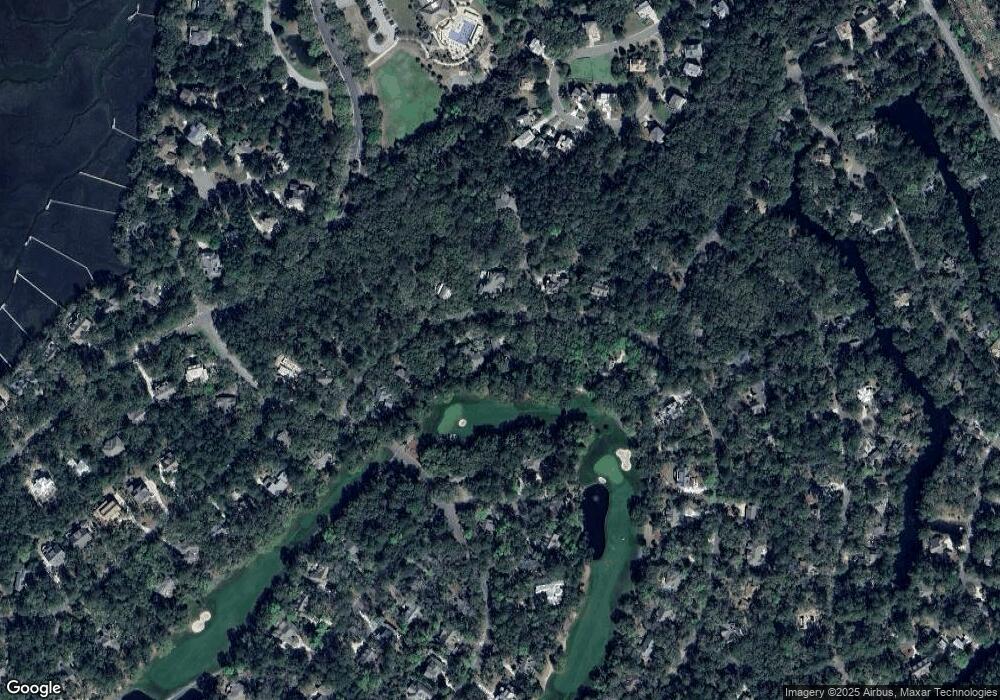
Map
Nearby Homes
- 2706 Old Oak Walk
- 2128 Royal Pine Dr
- 4005 Bridle Trail Dr
- 4021 Bridle Trail Dr
- 1614 Live Oak Park Unit 1614
- 2106 Kings Pine Dr
- 1619 Live Oak Park Unit 1619
- 1627 Live Oak Park
- 3232 Seabrook Island Rd
- 1721 Live Oak Park
- 1723 Live Oak Park
- 1638 Live Oak Park Unit 1638
- 1640 Live Oak Park
- 1403 Dune Loft Villas
- 1413 Dune Loft Villas
- 1212 Creek Watch Trace
- 2472 Racquet Club Dr
- 2824 Old Drake Dr
- 2063 Long Bend Dr
- 2860 Old Drake Dr
- 2817 Captain Sams Rd
- 2813 Captain Sams Rd
- 2821 Cap''N Sams Rd
- 2813 Capn Sams Rd
- 2821 Captain Sams Rd
- 0 Partridge Walk Ct
- 2828 Partridge Walk Ct
- 2809 Capn Sams Rd
- 2848 Partridge Walk Ct
- 2824 Dove Nest (L11 B2)
- 2824 Dove Nest Ct
- 2829 Capn Sams Rd
- 2805 Captain Sams Rd
- 2829 Captain Sams Rd
- 2852 (L18 B2) Captain Sams Rd
- 2852 Capn Sams Rd
- 2808 Cap'N Sams
- 2808 Captain Sams Rd
- 2844 Partridge Walk Ct
- 2896 Baywood Dr