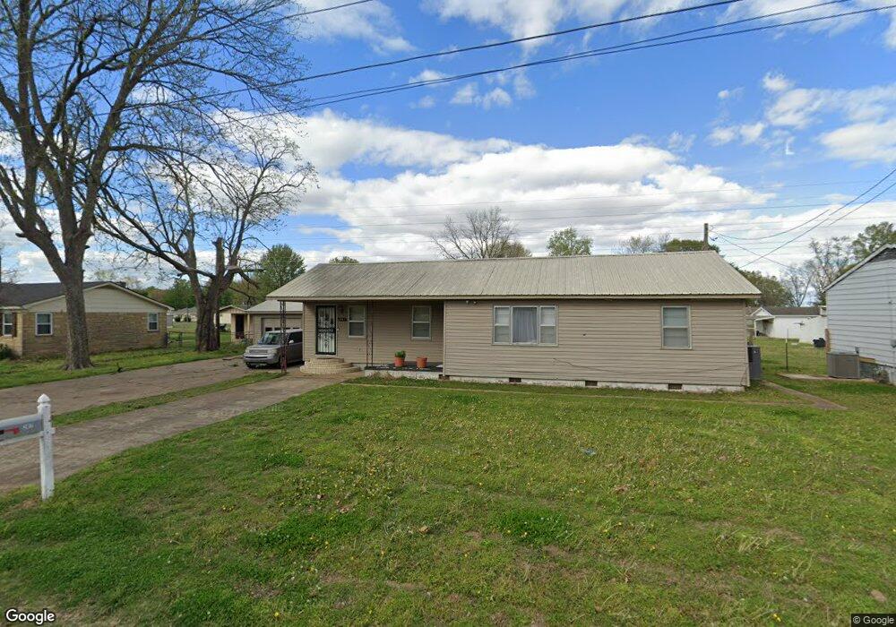
2817 Claire Dr Newport, AR 72112
Estimated Value: $75,000 - $125,000
--
Bed
1
Bath
1,452
Sq Ft
$69/Sq Ft
Est. Value
About This Home
This home is located at 2817 Claire Dr, Newport, AR 72112 and is currently estimated at $100,725, approximately $69 per square foot. 2817 Claire Dr is a home located in Jackson County with nearby schools including Newport Elementary School and Newport High School.
Ownership History
Date
Name
Owned For
Owner Type
Purchase Details
Closed on
Aug 10, 2025
Sold by
Brown Pranee U
Bought by
Soggy Bottom Rentals Llc
Current Estimated Value
Purchase Details
Closed on
Apr 17, 2020
Sold by
Hardin Ronnie L and Hardin Jana
Bought by
Soggy Bottom Rentals Llc
Home Financials for this Owner
Home Financials are based on the most recent Mortgage that was taken out on this home.
Original Mortgage
$50,462
Interest Rate
3.6%
Mortgage Type
New Conventional
Purchase Details
Closed on
Aug 5, 2005
Bought by
Davis Dwight G and Davis Others
Purchase Details
Closed on
Dec 20, 1993
Bought by
Davis Doris H and Davis Others
Create a Home Valuation Report for This Property
The Home Valuation Report is an in-depth analysis detailing your home's value as well as a comparison with similar homes in the area
Home Values in the Area
Average Home Value in this Area
Purchase History
| Date | Buyer | Sale Price | Title Company |
|---|---|---|---|
| Soggy Bottom Rentals Llc | -- | Jackson County Land Title | |
| Soggy Bottom Rentals Llc | $41,000 | None Available | |
| Hardin Ronnie L | -- | None Available | |
| Davis Dwight G | -- | -- | |
| Davis Doris H | -- | -- |
Source: Public Records
Mortgage History
| Date | Status | Borrower | Loan Amount |
|---|---|---|---|
| Previous Owner | Hardin Ronnie L | $50,462 |
Source: Public Records
Tax History Compared to Growth
Tax History
| Year | Tax Paid | Tax Assessment Tax Assessment Total Assessment is a certain percentage of the fair market value that is determined by local assessors to be the total taxable value of land and additions on the property. | Land | Improvement |
|---|---|---|---|---|
| 2024 | $749 | $17,840 | $3,200 | $14,640 |
| 2023 | $681 | $13,100 | $1,920 | $11,180 |
| 2022 | $703 | $13,100 | $1,920 | $11,180 |
| 2021 | $689 | $13,100 | $1,920 | $11,180 |
| 2020 | $549 | $13,100 | $1,920 | $11,180 |
| 2019 | $505 | $13,100 | $1,920 | $11,180 |
| 2018 | $440 | $8,620 | $1,600 | $7,020 |
| 2017 | $440 | $8,620 | $1,600 | $7,020 |
| 2015 | -- | $8,620 | $1,600 | $7,020 |
| 2014 | -- | $8,620 | $1,600 | $7,020 |
| 2013 | -- | $10,020 | $1,250 | $8,770 |
| 2012 | -- | $10,020 | $1,250 | $8,770 |
Source: Public Records
Map
Nearby Homes
- 2708 Robinson St
- 2600 Hollywood St
- 1217 Cherokee Dr
- 1212 Graceland Dr
- 1714 Dill St
- 1900 Hines St
- 1801 Hines St
- 2208 John Cir
- 203 Alice Ct
- 504 S State St
- 1311 Dill St
- 0 Robinson Rd
- 1105 Josephine St
- 900 Josephine St
- 2412 Linwood St
- 0 Holmes St Unit 25033630
- 0 Holmes St Unit 25-486
- 910 & 914 Dill St
- 4 Virginia Rd
- 2001 S Main St
- 2809 Claire Dr
- 0 Claire Dr
- 2901 Claire Dr
- 2807 McDougald St
- 2900 Robinson St
- 2908 Robinson St
- 2801 Claire Dr
- 2909 Claire Dr
- 2916 Robinson St
- 2808 Robinson St
- 700 Cherokee Dr
- 2809 McDougald St
- 2920 Robinson St
- 2800 Robinson St
- 2807 Mcdougal
- 2917 Claire Dr
- 2811 McDougald St
- 608 Cherokee Dr
- 2930 Robinson St
- 701 Cherokee Dr