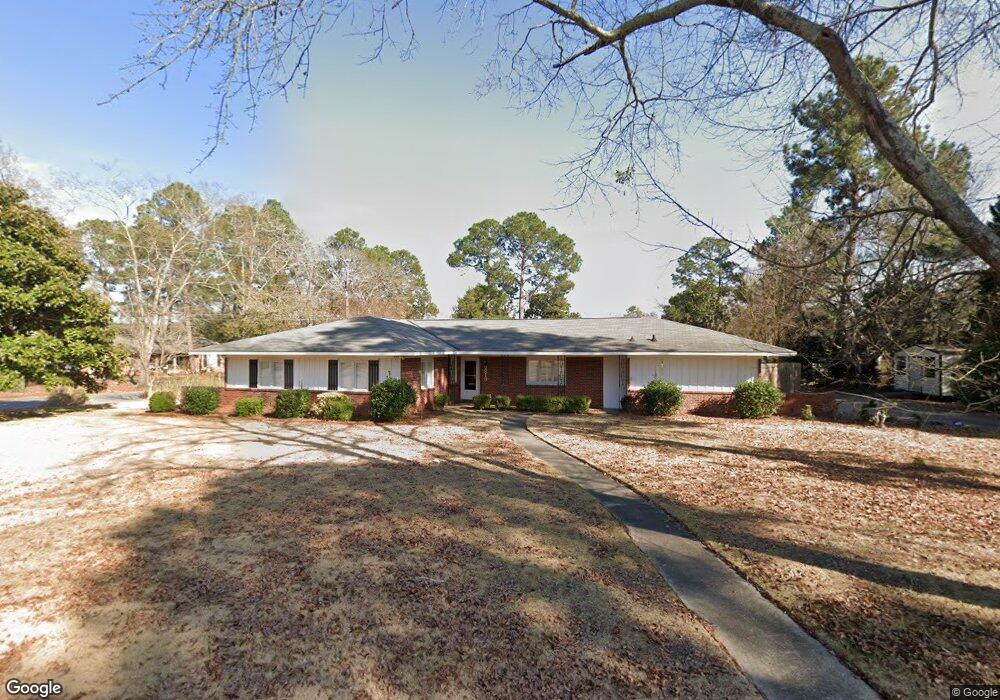
2818 Auburn Ave Columbus, GA 31906
Hilton Heights-Clubview Heights NeighborhoodEstimated Value: $261,000 - $280,000
3
Beds
2
Baths
1,846
Sq Ft
$146/Sq Ft
Est. Value
About This Home
This home is located at 2818 Auburn Ave, Columbus, GA 31906 and is currently estimated at $270,336, approximately $146 per square foot. 2818 Auburn Ave is a home located in Muscogee County with nearby schools including Clubview Elementary School, Richards Middle School, and Hardaway High School.
Ownership History
Date
Name
Owned For
Owner Type
Purchase Details
Closed on
Feb 2, 2015
Sold by
Thomas Kristine M
Bought by
Horton Sarah H
Current Estimated Value
Home Financials for this Owner
Home Financials are based on the most recent Mortgage that was taken out on this home.
Original Mortgage
$124,000
Outstanding Balance
$95,010
Interest Rate
3.77%
Mortgage Type
New Conventional
Estimated Equity
$175,326
Create a Home Valuation Report for This Property
The Home Valuation Report is an in-depth analysis detailing your home's value as well as a comparison with similar homes in the area
Home Values in the Area
Average Home Value in this Area
Purchase History
| Date | Buyer | Sale Price | Title Company |
|---|---|---|---|
| Horton Sarah H | $155,000 | -- |
Source: Public Records
Mortgage History
| Date | Status | Borrower | Loan Amount |
|---|---|---|---|
| Open | Horton Sarah H | $124,000 |
Source: Public Records
Tax History Compared to Growth
Tax History
| Year | Tax Paid | Tax Assessment Tax Assessment Total Assessment is a certain percentage of the fair market value that is determined by local assessors to be the total taxable value of land and additions on the property. | Land | Improvement |
|---|---|---|---|---|
| 2025 | $1,906 | $89,396 | $21,340 | $68,056 |
| 2024 | $1,905 | $89,396 | $21,340 | $68,056 |
| 2023 | $1,223 | $89,396 | $21,340 | $68,056 |
| 2022 | $1,987 | $74,472 | $21,340 | $53,132 |
| 2021 | $1,980 | $69,800 | $21,340 | $48,460 |
| 2020 | $1,980 | $69,800 | $21,340 | $48,460 |
| 2019 | $1,989 | $69,800 | $21,340 | $48,460 |
| 2018 | $1,989 | $69,800 | $21,340 | $48,460 |
| 2017 | $1,997 | $69,800 | $21,340 | $48,460 |
| 2016 | $2,005 | $61,880 | $15,209 | $46,671 |
| 2015 | $1,758 | $66,982 | $15,209 | $51,773 |
| 2014 | $1,762 | $66,982 | $15,209 | $51,773 |
| 2013 | -- | $66,982 | $15,209 | $51,773 |
Source: Public Records
Map
Nearby Homes
- 2930 Sue MacK Dr
- 2637 Sue MacK Dr
- 2820 Nancy St
- 2917 Edgewood Rd
- 2722 E Lindsay Dr
- 2604 Sue MacK Dr
- 2576 Habersham Ave
- 3224 Carden Dr
- 2817 Carson Dr
- 2940 Birchfield Dr
- 2525 Norris Rd Unit 36
- 2525 Norris Rd Unit 73
- 2525 Norris Rd Unit 91
- 3402 Cambridge Dr
- 2645 Edgewood Rd
- 3346 Junaluska Dr
- 3335 Junaluska Dr
- 1903 Marilon Dr
- 3129 Avon Dr
- 3337 Coweta Dr
- 0 Auburn Ave
- 2936 Roswell Ln
- 2808 Auburn Ave
- 2817 Auburn Ave
- 2809 Auburn Ave
- 2825 Auburn Ave
- 2944 Roswell Ln
- 2933 Roswell Ln
- 2836 Auburn Ave
- 2933 Lynda Ln
- 2941 Roswell Ln
- 2833 Auburn Ave
- 2937 Lynda Ln
- 2952 Roswell Ln
- 2806 Sue MacK Dr
- 2814 Sue MacK Dr
- 2839 Auburn Ave
- 2949 Roswell Ln
- 2745 Auburn Ave
- 2822 Sue MacK Dr