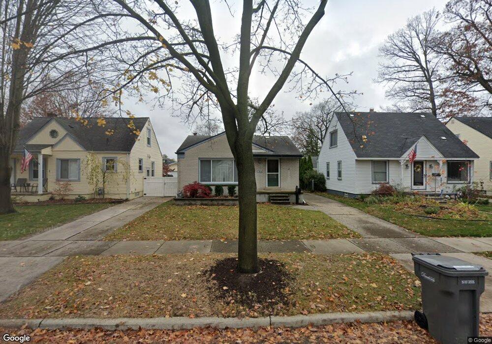
2818 Bennett St Dearborn, MI 48124
Southwestern Outer Drive NeighborhoodEstimated Value: $206,667 - $241,000
3
Beds
2
Baths
988
Sq Ft
$229/Sq Ft
Est. Value
About This Home
This home is located at 2818 Bennett St, Dearborn, MI 48124 and is currently estimated at $226,417, approximately $229 per square foot. 2818 Bennett St is a home located in Wayne County with nearby schools including Whitmore-Bolles Elementary School, Smith Middle School, and Edsel Ford High School.
Ownership History
Date
Name
Owned For
Owner Type
Purchase Details
Closed on
Jun 2, 2021
Sold by
Caputo Dominic R
Bought by
Caputo Dominic and Dominic Caputo Revocable Trust
Current Estimated Value
Purchase Details
Closed on
Jan 17, 2007
Sold by
Prudential Relocation Inc
Bought by
Caputo Dominic R
Purchase Details
Closed on
Jan 10, 2007
Sold by
Youngquist Sara A
Bought by
Prudential Relocation Inc
Purchase Details
Closed on
Jul 18, 2003
Sold by
Brown Timothy C and Brown Nancy E
Bought by
Youngquist Sara A
Create a Home Valuation Report for This Property
The Home Valuation Report is an in-depth analysis detailing your home's value as well as a comparison with similar homes in the area
Home Values in the Area
Average Home Value in this Area
Purchase History
| Date | Buyer | Sale Price | Title Company |
|---|---|---|---|
| Caputo Dominic | -- | None Available | |
| Caputo Dominic R | $140,000 | Metropolitan Title Company | |
| Prudential Relocation Inc | $140,000 | Metropolitan Title Company | |
| Youngquist Sara A | $151,000 | Multiple |
Source: Public Records
Tax History
| Year | Tax Paid | Tax Assessment Tax Assessment Total Assessment is a certain percentage of the fair market value that is determined by local assessors to be the total taxable value of land and additions on the property. | Land | Improvement |
|---|---|---|---|---|
| 2025 | $2,187 | $93,700 | $0 | $0 |
| 2024 | $2,139 | $89,200 | $0 | $0 |
| 2023 | $2,024 | $80,200 | $0 | $0 |
| 2022 | $2,409 | $67,100 | $0 | $0 |
| 2021 | $2,647 | $62,200 | $0 | $0 |
| 2019 | $347 | $51,400 | $0 | $0 |
| 2018 | $2,363 | $44,300 | $0 | $0 |
| 2017 | $637 | $41,500 | $0 | $0 |
| 2015 | $4,069 | $42,050 | $0 | $0 |
| 2013 | $3,965 | $39,650 | $0 | $0 |
| 2011 | -- | $45,050 | $0 | $0 |
Source: Public Records
Map
Nearby Homes
- 22732 Madison St
- 2920 Grindley Park St
- 2612 Grindley Park St
- 2239 Parker St
- 23000 Columbia St
- 3265 Parker St
- 2970 Geneva St
- 3345 Parker St
- 3205 Lincoln St
- 23035 Audette St
- 11 Oxford Ct Unit 17
- 3131 Mckinley St
- 3116 Syracuse St
- 2746 Cornell St
- 1845 Geneva St
- 23175 Nona St
- 3346 Roosevelt St
- 1820 Geneva St
- 22430 Nowlin St
- 3553 Pardee Ave
Your Personal Tour Guide
Ask me questions while you tour the home.