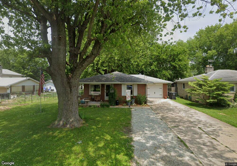
2818 E 10th St Anderson, IN 46012
Estimated Value: $120,000 - $146,000
3
Beds
1
Bath
1,173
Sq Ft
$115/Sq Ft
Est. Value
About This Home
This home is located at 2818 E 10th St, Anderson, IN 46012 and is currently estimated at $134,487, approximately $114 per square foot. 2818 E 10th St is a home located in Madison County with nearby schools including Tenth Street Elementary School, Highland Middle School, and Anderson High School.
Ownership History
Date
Name
Owned For
Owner Type
Purchase Details
Closed on
Dec 15, 2021
Sold by
Vaught Matt
Bought by
Huffman Clinton and Huffman Cynthia
Current Estimated Value
Home Financials for this Owner
Home Financials are based on the most recent Mortgage that was taken out on this home.
Original Mortgage
$76,475
Outstanding Balance
$70,318
Interest Rate
3.09%
Mortgage Type
New Conventional
Estimated Equity
$64,169
Purchase Details
Closed on
Aug 17, 2021
Sold by
Haworth Trust
Bought by
Vaught Matt
Create a Home Valuation Report for This Property
The Home Valuation Report is an in-depth analysis detailing your home's value as well as a comparison with similar homes in the area
Home Values in the Area
Average Home Value in this Area
Purchase History
| Date | Buyer | Sale Price | Title Company |
|---|---|---|---|
| Huffman Clinton | $80,500 | None Available | |
| Vaught Matt | $50,000 | American Land Title |
Source: Public Records
Mortgage History
| Date | Status | Borrower | Loan Amount |
|---|---|---|---|
| Open | Huffman Clinton | $76,475 |
Source: Public Records
Tax History
| Year | Tax Paid | Tax Assessment Tax Assessment Total Assessment is a certain percentage of the fair market value that is determined by local assessors to be the total taxable value of land and additions on the property. | Land | Improvement |
|---|---|---|---|---|
| 2025 | -- | $86,100 | $6,300 | $79,800 |
| 2024 | -- | $77,000 | $6,300 | $70,700 |
| 2023 | -- | $70,400 | $6,000 | $64,400 |
| 2022 | $0 | $70,800 | $5,800 | $65,000 |
| 2021 | $0 | $63,600 | $5,800 | $57,800 |
| 2020 | $0 | $60,400 | $5,500 | $54,900 |
| 2019 | $0 | $58,900 | $5,500 | $53,400 |
| 2018 | $0 | $53,800 | $5,500 | $48,300 |
| 2017 | $0 | $53,100 | $5,500 | $47,600 |
| 2016 | $0 | $53,100 | $5,500 | $47,600 |
| 2014 | -- | $54,800 | $5,500 | $49,300 |
| 2013 | -- | $54,800 | $5,500 | $49,300 |
Source: Public Records
Map
Nearby Homes
- 2622 Bridle Ln
- 2610 E 8th St
- 916 Lennox St
- 2617 Fowler St
- 2520 Pamela Ct
- 2506 E 8th St
- 2415 E 9th St
- 3012 E 6th St
- 830 Chester St
- 2313 E 5th St
- 2405 E 3rd St
- 2317 E 3rd St
- 1007 Parkway Dr
- 2724 Heritage Pkwy
- 1803 E 10th St
- 39 S Mustin Dr
- 1919 S Scatterfield Rd
- 1518 Martin Dr
- 1708 C St
- 239 N Coventry Dr
- 2822 E 10th St
- 2814 E 10th St
- 919 Ellenhurst Dr
- 2810 E 10th St
- 915 Ellenhurst Dr
- 920 Coventry Dr
- 2906 E 10th St
- 911 Ellenhurst Dr
- 1004 Sugar Pine Dr
- 1004 Sugar Pine Dr Unit 2
- 1004 Sugar Pine Dr Unit 86
- 2910 E 10th St
- 925 Coventry Dr
- 907 Ellenhurst Dr
- 1007 Evergreen Ct
- 920 Ellenhurst Dr
- 908 Coventry Dr
- 1005 Charleston Commons Dr
- 1005 Charleston Commons Dr Unit 10
Your Personal Tour Guide
Ask me questions while you tour the home.