2818 Medstead Ln Upper Marlboro, MD 20774
Estimated Value: $551,000 - $581,000
--
Bed
2
Baths
2,034
Sq Ft
$279/Sq Ft
Est. Value
About This Home
This home is located at 2818 Medstead Ln, Upper Marlboro, MD 20774 and is currently estimated at $566,800, approximately $278 per square foot. 2818 Medstead Ln is a home located in Prince George's County with nearby schools including Patuxent Elementary School, James Madison Middle School, and Dr. Henry A. Wise Jr. High School.
Ownership History
Date
Name
Owned For
Owner Type
Purchase Details
Closed on
Jan 31, 2019
Sold by
Westphalia Row Partners Llc
Bought by
Brown T D
Current Estimated Value
Home Financials for this Owner
Home Financials are based on the most recent Mortgage that was taken out on this home.
Original Mortgage
$432,250
Outstanding Balance
$378,476
Interest Rate
4.4%
Mortgage Type
New Conventional
Estimated Equity
$188,324
Purchase Details
Closed on
Sep 25, 2018
Sold by
Vob Limited Partnership
Bought by
Westphalia Row Partners Llc
Home Financials for this Owner
Home Financials are based on the most recent Mortgage that was taken out on this home.
Original Mortgage
$9,000,000
Interest Rate
4.9%
Mortgage Type
Commercial
Create a Home Valuation Report for This Property
The Home Valuation Report is an in-depth analysis detailing your home's value as well as a comparison with similar homes in the area
Home Values in the Area
Average Home Value in this Area
Purchase History
| Date | Buyer | Sale Price | Title Company |
|---|---|---|---|
| Brown T D | $455,000 | Commonwealth Land Ttl Ins Co | |
| Westphalia Row Partners Llc | $275,000 | Commonwealth Land Title Ins |
Source: Public Records
Mortgage History
| Date | Status | Borrower | Loan Amount |
|---|---|---|---|
| Open | Brown T D | $432,250 | |
| Previous Owner | Westphalia Row Partners Llc | $9,000,000 |
Source: Public Records
Tax History Compared to Growth
Tax History
| Year | Tax Paid | Tax Assessment Tax Assessment Total Assessment is a certain percentage of the fair market value that is determined by local assessors to be the total taxable value of land and additions on the property. | Land | Improvement |
|---|---|---|---|---|
| 2025 | $7,226 | $517,200 | $150,000 | $367,200 |
| 2024 | $7,226 | $491,367 | $0 | $0 |
| 2023 | $6,613 | $465,533 | $0 | $0 |
| 2022 | $6,281 | $439,700 | $100,000 | $339,700 |
| 2021 | $5,990 | $420,200 | $0 | $0 |
| 2020 | $5,856 | $400,700 | $0 | $0 |
| 2019 | $5,459 | $381,200 | $100,000 | $281,200 |
| 2018 | $187 | $11,200 | $11,200 | $0 |
| 2017 | $208 | $11,200 | $0 | $0 |
| 2016 | -- | $11,200 | $0 | $0 |
| 2015 | -- | $11,200 | $0 | $0 |
Source: Public Records
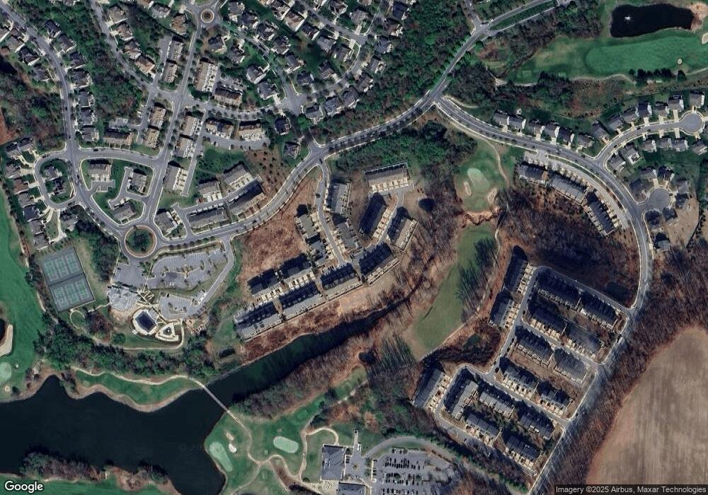
Map
Nearby Homes
- 15606 Beech Tree Pkwy
- 15622 Swanscombe Loop
- 3002 Presidential Golf Dr
- 15604 Monksilver Bend
- 15418 Finchingfield Way
- 15508 Finchingfield Way
- 15503 Humberside Way
- 15625 Copper Beech Dr
- 15308 Littleton Place
- 15305 Kettlebaston Ln
- 15303 Glastonbury Way
- 3002 Lake Forest Dr
- 15517 Glastonbury Way
- 15426 Symondsbury Way
- 3300 Brookshire Ct
- 3902 Presidential Golf Dr
- 16332 Brooktrail Ct
- 16201 Brookmead Ct
- 15305 Torcross Way
- 2403 Lake Forest Dr
- 2816 Medstead Ln
- 2814 Medstead Ln
- 2812 Medstead Ln
- 15612 Sunningdale Place
- 15539 Sunningdale Place
- 15603 Sunningdale Place
- 2810 Medstead Ln
- 15601 Sunningdale Place
- 15605 Sunningdale Place
- 15614 Sunningdale Place
- 2819 Midstock Ln
- 15607 Sunningdale Place
- 2819 Medstead Ln
- 2817 Medstead Ln
- 2817 Midstock Ln
- 2815 Medstead Ln
- 15609 Sunningdale Place
- 15537 Sunningdale Place
- 15535 Sunningdale Place
- 15616 Sunningdale Place