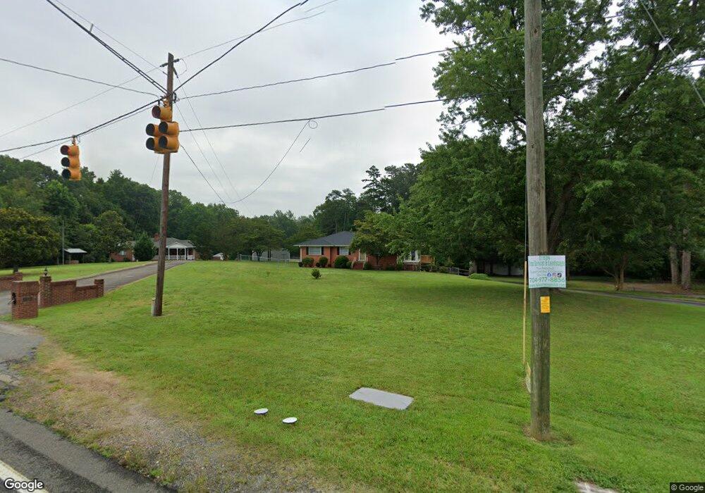
2818 N Cannon Blvd Kannapolis, NC 28083
Estimated Value: $315,000 - $394,416
--
Bed
1
Bath
2,398
Sq Ft
$146/Sq Ft
Est. Value
About This Home
This home is located at 2818 N Cannon Blvd, Kannapolis, NC 28083 and is currently estimated at $349,472, approximately $145 per square foot. 2818 N Cannon Blvd is a home located in Rowan County with nearby schools including Landis Elementary School, Corriher Lipe Middle School, and South Rowan High School.
Ownership History
Date
Name
Owned For
Owner Type
Purchase Details
Closed on
Apr 8, 2019
Sold by
Allman Alma Marie and Allman Everette Lee
Bought by
Allman Alma Marie and Allman Everette Lee
Current Estimated Value
Purchase Details
Closed on
Jan 8, 2013
Sold by
Christy Alma Marie
Bought by
Moose Janice C
Purchase Details
Closed on
May 23, 2011
Sold by
Christy Alma Marie
Bought by
Christy Alma Marie and Moose Janice C
Purchase Details
Closed on
Jan 12, 2006
Sold by
Christy Alma M
Bought by
Christy Alma M and Moose Janice C
Create a Home Valuation Report for This Property
The Home Valuation Report is an in-depth analysis detailing your home's value as well as a comparison with similar homes in the area
Home Values in the Area
Average Home Value in this Area
Purchase History
| Date | Buyer | Sale Price | Title Company |
|---|---|---|---|
| Allman Alma Marie | -- | None Available | |
| Moose Janice C | -- | None Available | |
| Christy Alma Marie | -- | None Available | |
| Christy Alma M | -- | None Available |
Source: Public Records
Tax History Compared to Growth
Tax History
| Year | Tax Paid | Tax Assessment Tax Assessment Total Assessment is a certain percentage of the fair market value that is determined by local assessors to be the total taxable value of land and additions on the property. | Land | Improvement |
|---|---|---|---|---|
| 2025 | $2,024 | $325,189 | $82,438 | $242,751 |
| 2024 | $2,024 | $325,189 | $82,438 | $242,751 |
| 2023 | $1,164 | $325,189 | $82,438 | $242,751 |
| 2022 | $872 | $208,556 | $68,716 | $139,840 |
| 2021 | $1,460 | $208,556 | $68,716 | $139,840 |
| 2020 | $872 | $208,556 | $68,716 | $139,840 |
| 2019 | $872 | $208,556 | $68,716 | $139,840 |
| 2018 | $625 | $138,409 | $68,716 | $69,693 |
| 2017 | $625 | $138,409 | $68,716 | $69,693 |
| 2016 | $625 | $138,409 | $68,716 | $69,693 |
| 2015 | $634 | $138,409 | $68,716 | $69,693 |
| 2014 | $623 | $139,348 | $68,716 | $70,632 |
Source: Public Records
Map
Nearby Homes
- 0 N Cannon Blvd Unit CAR4271457
- 203 Hickory Wood Dr
- 204 E 27th St
- 400 E 27th St
- 2653 Brady Ave
- 0 S Chapel St
- 01 Dial St
- 00 Dial St
- 413 E 25th St
- 00 Coldwater St
- 710 E Mills Dr
- 2407 N Main St
- 1255 Dial St
- 805 E Mills Dr
- 408 E 22nd St
- 203 E 22nd St
- 00 E 22nd St
- 2909 Glendale Ave
- 0 Summit Ave
- 304 E 21st St
- 2814 N Cannon Blvd
- 2822 N Cannon Blvd
- 2812 N Cannon Blvd
- 2810 N Cannon Blvd
- 2871 N Cannon Blvd
- 2806 N Cannon Blvd
- 2875 N Cannon Blvd
- 405 E 29th St
- 409 E 29th St
- 0 N Cannon Blvd Unit L62-68 / L69-72
- 401 E 29th St
- 407 E 29th St
- 1101 S Chapel St
- 0 Dial St Unit 2154865
- 0 Dial St Unit 2216535
- 0 Dial St Unit 98-103/271-275
- 0 Dial St Unit NULL R56209
- 3430 Linn Ave
- 2881 N Cannon Blvd
- 209 Hickory Wood Dr Unit 9