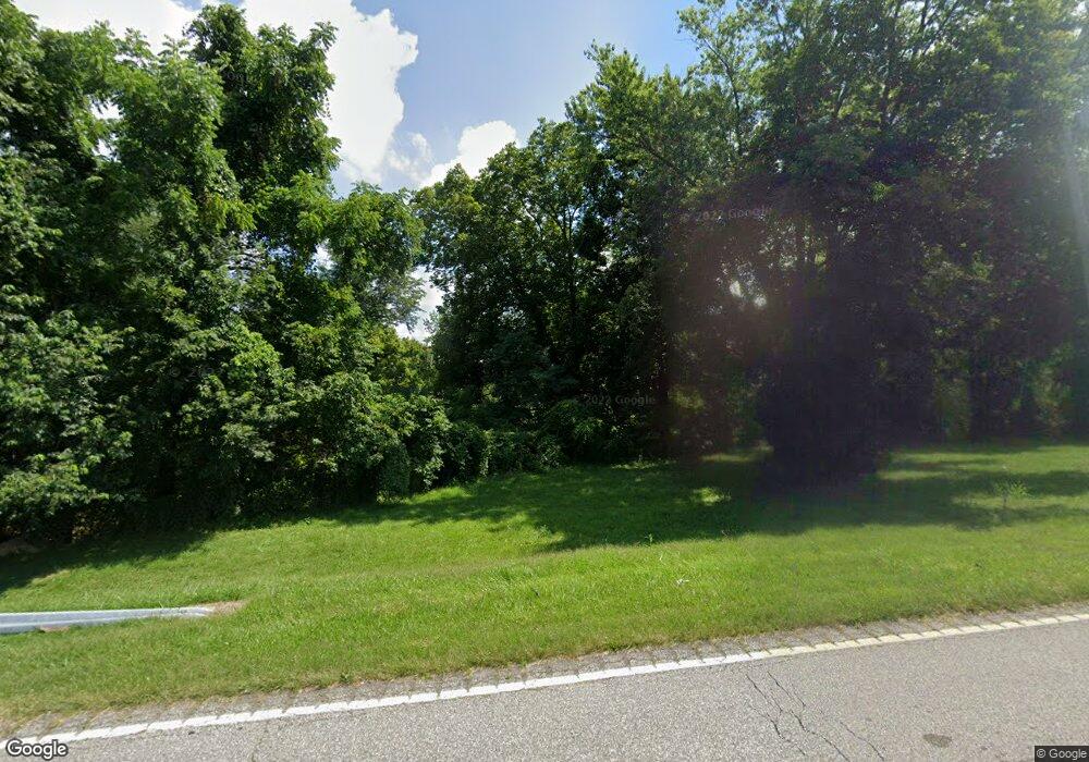
2818 State Route 827 Greenup, KY 41144
Estimated Value: $51,000 - $181,000
3
Beds
2
Baths
1,636
Sq Ft
$65/Sq Ft
Est. Value
About This Home
This home is located at 2818 State Route 827, Greenup, KY 41144 and is currently estimated at $106,702, approximately $65 per square foot. 2818 State Route 827 is a home with nearby schools including Greenup County High School.
Ownership History
Date
Name
Owned For
Owner Type
Purchase Details
Closed on
Mar 9, 2023
Sold by
Martin Kyle Eugene
Bought by
Ashwood Llc
Current Estimated Value
Create a Home Valuation Report for This Property
The Home Valuation Report is an in-depth analysis detailing your home's value as well as a comparison with similar homes in the area
Home Values in the Area
Average Home Value in this Area
Purchase History
| Date | Buyer | Sale Price | Title Company |
|---|---|---|---|
| Ashwood Llc | $45,000 | -- |
Source: Public Records
Tax History Compared to Growth
Tax History
| Year | Tax Paid | Tax Assessment Tax Assessment Total Assessment is a certain percentage of the fair market value that is determined by local assessors to be the total taxable value of land and additions on the property. | Land | Improvement |
|---|---|---|---|---|
| 2024 | $190 | $60,138 | $3,330 | $56,808 |
| 2023 | $179 | $60,138 | $3,330 | $56,808 |
| 2022 | $264 | $60,138 | $3,330 | $56,808 |
| 2021 | $263 | $60,138 | $3,330 | $56,808 |
| 2020 | $277 | $60,138 | $3,330 | $56,808 |
| 2019 | $280 | $60,138 | $3,330 | $56,808 |
| 2018 | $313 | $60,138 | $3,330 | $56,808 |
| 2017 | $312 | $57,483 | $675 | $56,808 |
| 2016 | $312 | $57,483 | $675 | $56,808 |
| 2015 | $865 | $57,483 | $675 | $56,808 |
| 2014 | $858 | $57,483 | $675 | $56,808 |
| 2011 | -- | $57,483 | $675 | $56,808 |
Source: Public Records
Map
Nearby Homes
- 0 Duck Puddle Rd
- 2337 Smith Branch Rd
- 238 Whetstone Rd
- 686 State Route 827
- 686 Kentucky 827
- Wurtland 0
- 00 Blackbird Branch
- 0000 Emma Kay Blvd
- 0 Bourbon Street Lots 20 & 21
- 0 Treasure Cove Rd
- 294 Muirfield
- 404 Sycamore St
- 219 Main St
- 0 U S 23
- 0 Church St
- 1516 Gallia Pike
- 187 Sinnette Hollow
- 1201 Walnut St
- 000 Seaton Ave
- 1306 Walnut St
- 2839 State Route 827
- 86 Carol Ann Dr
- 2959 State Route 827
- 2918 State Route 827 Branch
- 2642 State Route 827
- 3017 State Route 827
- 16 Quail Run
- 3071 State Route 827
- 32 Quail Run
- 2558 State Route 827
- 3113 State Route 827
- 62 Quail Run
- 94 Quail Run
- 3161 State Route 827
- 2413 State Route 827
- 3195 State Route 827
- 57 Vernon Rd
- 193 Quail Run
- 15 Vernon Rd
- 3344 State Route 827
