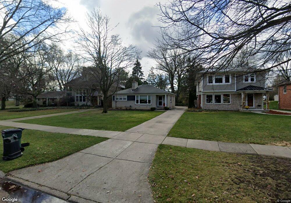
2818 Vinsetta Blvd Royal Oak, MI 48073
Estimated Value: $381,230 - $521,000
3
Beds
2
Baths
1,120
Sq Ft
$394/Sq Ft
Est. Value
About This Home
This home is located at 2818 Vinsetta Blvd, Royal Oak, MI 48073 and is currently estimated at $441,308, approximately $394 per square foot. 2818 Vinsetta Blvd is a home located in Oakland County with nearby schools including Northwood Elementary School, Royal Oak Middle School, and Royal Oak High School.
Ownership History
Date
Name
Owned For
Owner Type
Purchase Details
Closed on
Jun 15, 2010
Sold by
Howey Dianne S and Howey Ross C
Bought by
Andras Patrick
Current Estimated Value
Home Financials for this Owner
Home Financials are based on the most recent Mortgage that was taken out on this home.
Original Mortgage
$167,741
Outstanding Balance
$110,563
Interest Rate
4.87%
Mortgage Type
FHA
Estimated Equity
$330,745
Create a Home Valuation Report for This Property
The Home Valuation Report is an in-depth analysis detailing your home's value as well as a comparison with similar homes in the area
Home Values in the Area
Average Home Value in this Area
Purchase History
| Date | Buyer | Sale Price | Title Company |
|---|---|---|---|
| Andras Patrick | $170,000 | Partners Title Agency Llc |
Source: Public Records
Mortgage History
| Date | Status | Borrower | Loan Amount |
|---|---|---|---|
| Open | Andras Patrick | $167,741 |
Source: Public Records
Tax History
| Year | Tax Paid | Tax Assessment Tax Assessment Total Assessment is a certain percentage of the fair market value that is determined by local assessors to be the total taxable value of land and additions on the property. | Land | Improvement |
|---|---|---|---|---|
| 2025 | $4,911 | $175,460 | $0 | $0 |
| 2024 | $3,738 | $159,670 | $0 | $0 |
| 2022 | $4,417 | $140,540 | $0 | $0 |
| 2020 | $3,633 | $129,900 | $0 | $0 |
| 2018 | $4,417 | $125,070 | $0 | $0 |
| 2017 | $4,245 | $125,070 | $0 | $0 |
| 2015 | -- | $104,820 | $0 | $0 |
| 2014 | -- | $99,620 | $0 | $0 |
| 2011 | -- | $91,420 | $0 | $0 |
Source: Public Records
Map
Nearby Homes
- 817 Magnolia Ave
- 414 Aqua Ct
- 834 W Houstonia Ave
- 2211 Crooks Rd
- 127 La Plaza Ct
- 114 E Webster Rd
- 1837 N Washington Ave
- 1828 N Lafayette Ave
- 1833 N Washington Ave
- 506 W 12 Mile Rd
- 406 W 12 Mile Rd
- 2666 Crooks Rd Unit 7
- 2438 Evergreen Dr
- 419 W 12 Mile Rd
- 214 W 12 Mile Rd
- 1012 W 12 Mile Rd
- 615 W 13 Mile Rd
- 1317 Butternut Ave
- 922 Cedarhill Dr
- 1421 Lloyd Ave
- 2816 Vinsetta Blvd
- 2808 Vinsetta Blvd
- 2835 Vinsetta (Lot B)
- 2835 Vinsetta Blvd
- 2832 Vinsetta Blvd
- 2824 Vinsetta Blvd
- 2885 Vinsetta Blvd
- 2819 Vinsetta Blvd
- 2904 Vinsetta Blvd
- 2802 Vinsetta Blvd
- 2716 Vinsetta Blvd
- 2910 Vinsetta Blvd
- 622 Magnolia Ave
- 626 Magnolia Ave
- 616 Magnolia Ave
- 2916 Vinsetta Blvd
- 612 Magnolia Ave
- 2825 Vinsetta Blvd
- 2400 Beechwood Dr
- 2823 Vinsetta Blvd
Your Personal Tour Guide
Ask me questions while you tour the home.