2818 Wyndgate Ct Unit 14 Westlake, OH 44145
Estimated Value: $405,090 - $488,000
3
Beds
3
Baths
2,344
Sq Ft
$192/Sq Ft
Est. Value
About This Home
This home is located at 2818 Wyndgate Ct Unit 14, Westlake, OH 44145 and is currently estimated at $451,023, approximately $192 per square foot. 2818 Wyndgate Ct Unit 14 is a home located in Cuyahoga County with nearby schools including Dover Intermediate School, Lee Burneson Middle School, and Westlake High School.
Ownership History
Date
Name
Owned For
Owner Type
Purchase Details
Closed on
Feb 7, 2022
Sold by
Kuclo Dolores M
Bought by
Dolores M Kuclo Residence Trust
Current Estimated Value
Purchase Details
Closed on
Feb 4, 2022
Sold by
Kuclo Dolores M
Bought by
Dolores M Kuclo Residence Trust and Kuclo
Purchase Details
Closed on
Jan 15, 2022
Sold by
Kuclo Dolores M
Bought by
Dolores M Kuclo Residence Trust
Purchase Details
Closed on
Jul 23, 2008
Sold by
Kuclo Dolores M
Bought by
Kuclo Dolores M and The Dolores M Kuclo Family Trust
Purchase Details
Closed on
May 23, 2003
Sold by
Tarolli Judith M
Bought by
Kuclo Dolores M
Home Financials for this Owner
Home Financials are based on the most recent Mortgage that was taken out on this home.
Original Mortgage
$130,000
Interest Rate
5.9%
Mortgage Type
Purchase Money Mortgage
Create a Home Valuation Report for This Property
The Home Valuation Report is an in-depth analysis detailing your home's value as well as a comparison with similar homes in the area
Home Values in the Area
Average Home Value in this Area
Purchase History
| Date | Buyer | Sale Price | Title Company |
|---|---|---|---|
| Dolores M Kuclo Residence Trust | -- | Mcnamee Michael | |
| Dolores M Kuclo Residence Trust | -- | Mcnamee Michael | |
| Dolores M Kuclo Residence Trust | -- | Mcnamee Michael | |
| Kuclo Dolores M | -- | None Listed On Document | |
| Kuclo Dolores M | -- | Attorney | |
| Kuclo Dolores M | $290,000 | Third Capital |
Source: Public Records
Mortgage History
| Date | Status | Borrower | Loan Amount |
|---|---|---|---|
| Previous Owner | Kuclo Dolores M | $130,000 |
Source: Public Records
Tax History Compared to Growth
Tax History
| Year | Tax Paid | Tax Assessment Tax Assessment Total Assessment is a certain percentage of the fair market value that is determined by local assessors to be the total taxable value of land and additions on the property. | Land | Improvement |
|---|---|---|---|---|
| 2024 | $5,904 | $134,435 | $13,440 | $120,995 |
| 2023 | $5,479 | $108,050 | $10,820 | $97,230 |
| 2022 | $5,414 | $108,045 | $10,815 | $97,230 |
| 2021 | $5,421 | $108,050 | $10,820 | $97,230 |
| 2020 | $4,974 | $92,330 | $9,240 | $83,090 |
| 2019 | $4,823 | $263,800 | $26,400 | $237,400 |
| 2018 | $4,845 | $92,330 | $9,240 | $83,090 |
| 2017 | $4,653 | $84,250 | $8,440 | $75,810 |
| 2016 | $4,628 | $84,250 | $8,440 | $75,810 |
| 2015 | $4,876 | $84,250 | $8,440 | $75,810 |
| 2014 | $4,876 | $86,840 | $8,680 | $78,160 |
Source: Public Records
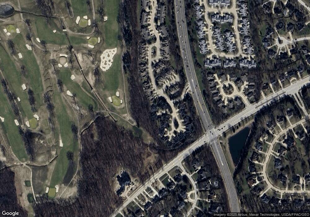
Map
Nearby Homes
- 29579 Devonshire Oval
- 29772 Hilliard Oak Ln
- 3115 Bradley Rd
- 31072 Riviera Ln
- 28744 Woodmill Dr
- 31035 Wilderness Trail
- 2706 Forest Lake Dr
- 28360 Center Ridge Rd Unit 226
- 2962 Forest Lake Dr
- 28340 Center Ridge Rd Unit 123
- 2066 Bradley Rd
- 31587 Turtle Cr
- 28080 Center Ridge Rd
- 2847 Rocky Ridge Dr
- 2891 Rocky Ridge Dr Unit V/L 173
- 2705 Rocky Ridge Dr
- 3769 Trenton Ct Unit 39
- 3450 Briar Ridge Ct Unit F
- 1900 Sperrys Forge Trail
- V/L Rocky Ridge Dr
- 2826 Wyndgate Ct Unit 13
- 2810 Wyndgate Ct Unit 15
- 2834 Wyndgate Ct Unit 12
- 2778 Wyndgate Ct Unit 5
- 2786 Wyndgate Ct Unit 3
- 2790 Wyndgate Ct Unit 2
- 2774 Wyndgate Ct Unit 6
- 2782 Wyndgate Ct
- 2794 Wyndgate Ct Unit 1
- 2782 Wyndgate Ct Unit 4
- 2842 Wyndgate Ct Unit 11
- 2850 Wyndgate Ct
- 2850 Wyndgate Ct Unit 10
- 2825 Wyndgate Ct Unit 1
- 2795 Wyndgate Ct
- 2799 Wyndgate Ct Unit 18
- 2803 Wyndgate Ct
- 2803 Wyndgate Ct Unit 19
- 2833 Wyndgate Ct Unit 2
- 2858 Wyndgate Ct