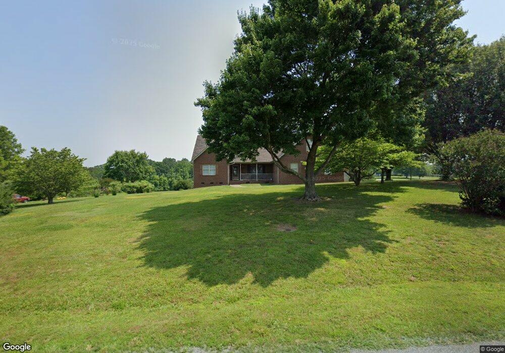
28183 Frick Rd Richfield, NC 28137
Estimated Value: $302,596 - $386,000
3
Beds
2
Baths
1,640
Sq Ft
$212/Sq Ft
Est. Value
About This Home
This home is located at 28183 Frick Rd, Richfield, NC 28137 and is currently estimated at $347,399, approximately $211 per square foot. 28183 Frick Rd is a home located in Stanly County with nearby schools including Richfield Elementary School, North Stanly Middle School, and North Stanly High School.
Ownership History
Date
Name
Owned For
Owner Type
Purchase Details
Closed on
Nov 10, 2014
Sold by
Swaringen Brandie A and Swaringen Brandi A
Bought by
Swaringen John W
Current Estimated Value
Purchase Details
Closed on
Dec 3, 2010
Sold by
Myers Scotty D and Myers Karen H
Bought by
Swaringen John W and Swaringen Brandi A
Home Financials for this Owner
Home Financials are based on the most recent Mortgage that was taken out on this home.
Original Mortgage
$144,000
Outstanding Balance
$95,525
Interest Rate
4.3%
Mortgage Type
New Conventional
Estimated Equity
$251,874
Create a Home Valuation Report for This Property
The Home Valuation Report is an in-depth analysis detailing your home's value as well as a comparison with similar homes in the area
Home Values in the Area
Average Home Value in this Area
Purchase History
| Date | Buyer | Sale Price | Title Company |
|---|---|---|---|
| Swaringen John W | -- | None Available | |
| Swaringen John W | $180,000 | None Available |
Source: Public Records
Mortgage History
| Date | Status | Borrower | Loan Amount |
|---|---|---|---|
| Open | Swaringen John W | $144,000 |
Source: Public Records
Tax History Compared to Growth
Tax History
| Year | Tax Paid | Tax Assessment Tax Assessment Total Assessment is a certain percentage of the fair market value that is determined by local assessors to be the total taxable value of land and additions on the property. | Land | Improvement |
|---|---|---|---|---|
| 2025 | $1,358 | $222,655 | $26,331 | $196,324 |
| 2024 | $1,212 | $170,648 | $14,043 | $156,605 |
| 2023 | $1,257 | $170,648 | $14,043 | $156,605 |
| 2022 | $1,257 | $170,648 | $14,043 | $156,605 |
| 2021 | $1,255 | $170,648 | $14,043 | $156,605 |
| 2020 | $1,151 | $144,912 | $12,287 | $132,625 |
| 2019 | $1,157 | $144,912 | $12,287 | $132,625 |
| 2018 | $1,072 | $144,912 | $12,287 | $132,625 |
| 2017 | $1,072 | $144,912 | $12,287 | $132,625 |
| 2016 | $1,036 | $140,037 | $10,532 | $129,505 |
| 2015 | $1,118 | $140,037 | $10,532 | $129,505 |
| 2014 | $1,148 | $140,037 | $10,532 | $129,505 |
Source: Public Records
Map
Nearby Homes
- 307 Nc Hwy 49 S
- 307 Stoneyard Rd
- 310 Stoneyard Rd
- 42765 Caudle Rd
- 319 Nc Hwy 49 S
- 02 State Highway 49
- 44434 U S 52
- 44389 U S 52
- 0 Wagoner Rd
- 31655 Pinewood Dr
- 44401 U S 52
- 48708 U S 52
- 00 Herlocker Rd
- 247 N Main St
- 0 Woody Way Unit CAR4284179
- 232 E Gold St
- 00 N Carolina 740
- 0 Reeves Island Rd
- 14941 Deer Hollow Dr
- 120 Williams Store Rd
- 28167 Frick Rd
- 28170 Frick Rd
- 44420 Millingport Rd
- 44408 Millingport Rd
- 44382 Millingport Rd
- 44463 Millingport Rd
- 44368 Millingport Rd
- 28100 Frick Rd
- 44346 Millingport Rd
- 44484 Millingport Rd
- 116 Crowell St
- 44513 Millingport Rd
- 44321 Millingport Rd Unit A
- 44321 Millingport Rd
- 414 Old Salisbury Rd
- 118 Old Salisbury Rd
- 424 S Main St
- 310 Old Salisbury Rd
- 314 Old Salisbury Rd
- 320A Old Salisbury Rd Unit B