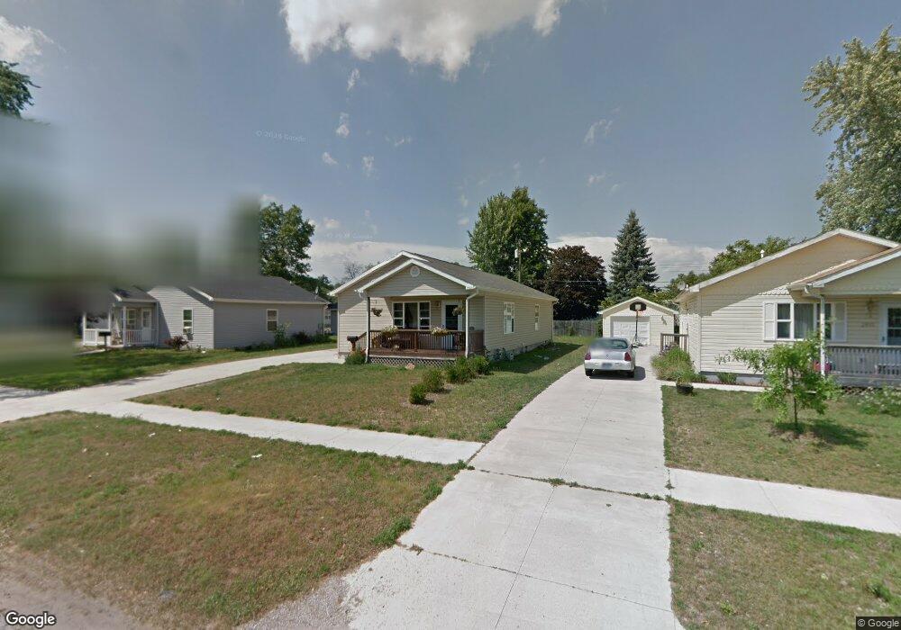
2819 Moak St Port Huron, MI 48060
Estimated Value: $179,000 - $188,165
4
Beds
1
Bath
1,248
Sq Ft
$147/Sq Ft
Est. Value
About This Home
This home is located at 2819 Moak St, Port Huron, MI 48060 and is currently estimated at $183,041, approximately $146 per square foot. 2819 Moak St is a home located in St. Clair County with nearby schools including Cleveland Elementary School, Central Middle School, and Port Huron High School.
Ownership History
Date
Name
Owned For
Owner Type
Purchase Details
Closed on
Oct 30, 2008
Sold by
Blue Water Habitat For Humanity Inc
Bought by
Launstein Bevins Julie A
Current Estimated Value
Purchase Details
Closed on
Aug 10, 2007
Sold by
Seney Amy K and Seney Joshua M
Bought by
Blue Water Habitat For Humanity
Create a Home Valuation Report for This Property
The Home Valuation Report is an in-depth analysis detailing your home's value as well as a comparison with similar homes in the area
Home Values in the Area
Average Home Value in this Area
Purchase History
| Date | Buyer | Sale Price | Title Company |
|---|---|---|---|
| Launstein Bevins Julie A | $85,000 | Devon Title Agency | |
| Blue Water Habitat For Humanity | $40,500 | Devon Title Agency |
Source: Public Records
Mortgage History
| Date | Status | Borrower | Loan Amount |
|---|---|---|---|
| Closed | Launstein Bevins Julie A | $0 |
Source: Public Records
Tax History Compared to Growth
Tax History
| Year | Tax Paid | Tax Assessment Tax Assessment Total Assessment is a certain percentage of the fair market value that is determined by local assessors to be the total taxable value of land and additions on the property. | Land | Improvement |
|---|---|---|---|---|
| 2025 | $2,055 | $97,300 | $0 | $0 |
| 2024 | $1,738 | $86,900 | $0 | $0 |
| 2023 | $1,642 | $75,800 | $0 | $0 |
| 2022 | $1,713 | $64,200 | $0 | $0 |
| 2021 | $1,626 | $55,800 | $0 | $0 |
| 2020 | $1,645 | $49,100 | $49,100 | $0 |
| 2019 | $1,616 | $40,200 | $0 | $0 |
| 2018 | $1,580 | $40,200 | $0 | $0 |
| 2017 | $1,411 | $33,700 | $0 | $0 |
| 2016 | $1,205 | $33,700 | $0 | $0 |
| 2015 | $1,187 | $33,500 | $33,500 | $0 |
| 2014 | $1,187 | $33,100 | $33,100 | $0 |
| 2013 | -- | $33,200 | $0 | $0 |
Source: Public Records
Map
Nearby Homes
- 2702 Vanness St
- 2600 Vanness St
- 2513 Vanness St
- 2511 Vanness St
- 2506 Vanness St
- 3230 Ashland Ct
- 0 Dove Rd Unit G31368528
- 3104 Sturges St
- 9999 Cleveland Ave
- 3548 Cleveland St
- 3830 Military St
- 000 Gratiot Blvd
- 00 Gratiot Blvd
- 2627 24th St
- 69 Gratiot Blvd
- 3333 Ravenswood Rd Unit 4A
- 3333 Ravenswood Rd
- 3136 Military St
- 105 Gratiot Blvd
- 00 Moak St