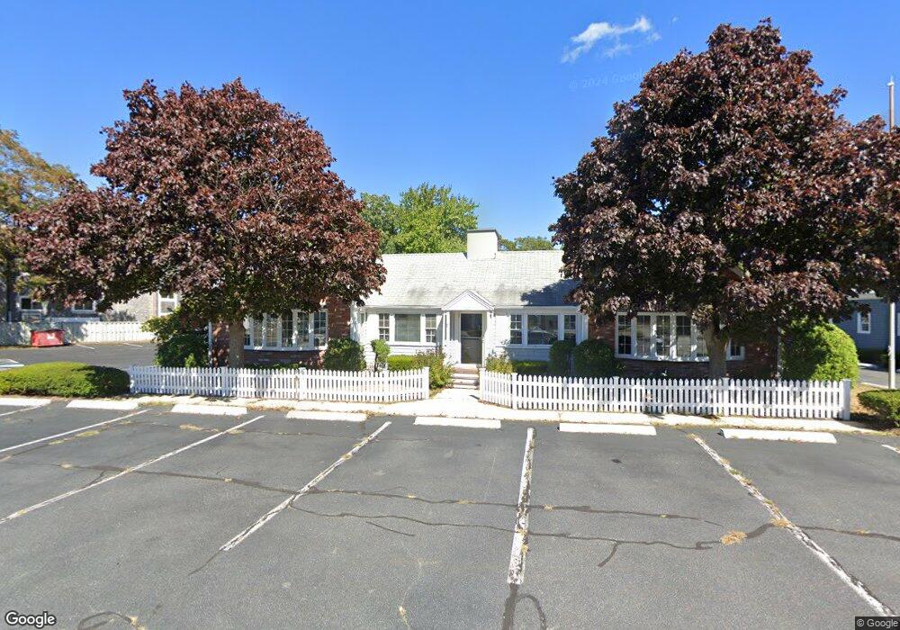
282 Barnstable Rd Hyannis, MA 02601
Hyannis NeighborhoodEstimated Value: $1,302,691
Studio
1
Bath
2,252
Sq Ft
$578/Sq Ft
Est. Value
About This Home
This home is located at 282 Barnstable Rd, Hyannis, MA 02601 and is currently estimated at $1,302,691, approximately $578 per square foot. 282 Barnstable Rd is a home located in Barnstable County with nearby schools including Hyannis West Elementary School, Barnstable United Elementary School, and Barnstable Intermediate School.
Ownership History
Date
Name
Owned For
Owner Type
Purchase Details
Closed on
Dec 10, 2020
Sold by
Poyant Marcel R and Poyant Mary J
Bought by
Bosworth W Chandler
Current Estimated Value
Home Financials for this Owner
Home Financials are based on the most recent Mortgage that was taken out on this home.
Original Mortgage
$400,000
Outstanding Balance
$350,212
Interest Rate
2.8%
Mortgage Type
New Conventional
Estimated Equity
$952,479
Create a Home Valuation Report for This Property
The Home Valuation Report is an in-depth analysis detailing your home's value as well as a comparison with similar homes in the area
Home Values in the Area
Average Home Value in this Area
Purchase History
We collect this data history from publicly available records. To have your information removed, we recommend requesting removal directly through your county’s website.
| Date | Buyer | Sale Price | Title Company |
|---|---|---|---|
| Bosworth W Chandler | $400,000 | None Available |
Source: Public Records
Mortgage History
We collect this data history from publicly available records. To have your information removed, we recommend requesting removal directly through your county’s website.
| Date | Status | Borrower | Loan Amount |
|---|---|---|---|
| Open | Bosworth W Chandler | $400,000 |
Source: Public Records
Tax History
| Year | Tax Paid | Tax Assessment Tax Assessment Total Assessment is a certain percentage of the fair market value that is determined by local assessors to be the total taxable value of land and additions on the property. | Land | Improvement |
|---|---|---|---|---|
| 2025 | $5,290 | $538,100 | $221,200 | $316,900 |
| 2024 | $5,222 | $535,600 | $221,200 | $314,400 |
| 2023 | $5,629 | $535,600 | $221,200 | $314,400 |
| 2022 | $6,906 | $539,500 | $221,200 | $318,300 |
| 2021 | $6,906 | $539,500 | $221,200 | $318,300 |
| 2020 | $6,408 | $486,900 | $189,500 | $297,400 |
| 2019 | $6,599 | $488,800 | $189,500 | $299,300 |
| 2018 | $7,062 | $476,400 | $189,500 | $286,900 |
| 2017 | $5,934 | $471,700 | $189,500 | $282,200 |
| 2016 | $5,792 | $471,700 | $189,500 | $282,200 |
| 2015 | $5,496 | $458,000 | $182,100 | $275,900 |
Source: Public Records
Map
Nearby Homes
- 69 Spring St
- 186 Walnut St
- 55 Louis St
- 68 Center St Unit 13
- 54 Murphy Rd
- 120 Chestnut St
- 65 Louis St Unit A
- 157 Compass Cir
- 84 Bearses Way
- 3 Bristol Ave
- 120 Bearses Way
- 10 Hiramar Rd Unit 10-12
- 97 Bassett Ln
- 10-12 Hiramar
- 57 Suffolk Ave
- 115 School St Unit W206
- 110 School St Unit E203
- 110 School St Unit E113
- 147 Bristol Ave
- 62 Pine Ave
- 274 Barnstable Rd
- 300 Barnstable Rd
- 55 Kings Way
- 264 Barnstable Rd
- 36 Kings Way
- 42 Kings Way
- 28 Kings Way
- 50 Kings Way
- 250 Barnstable Rd
- 291 Barnstable Rd
- 61 Kings Way
- 310 Barnstable Rd
- 24 Kings Way
- 269 Barnstable Rd
- 60 Kings Way
- 259 Barnstable Rd
- 8 Brookshire Rd
- 9 Brookshire Rd
- 16 Kings Way
- 7 Brookshire Rd
Your Personal Tour Guide
Ask me questions while you tour the home.