282 County Road 2440 Decatur, TX 76234
Estimated Value: $504,000 - $642,000
--
Bed
1
Bath
576
Sq Ft
$979/Sq Ft
Est. Value
About This Home
This home is located at 282 County Road 2440, Decatur, TX 76234 and is currently estimated at $563,736, approximately $978 per square foot. 282 County Road 2440 is a home located in Wise County with nearby schools including Decatur High School.
Ownership History
Date
Name
Owned For
Owner Type
Purchase Details
Closed on
Oct 18, 2024
Sold by
Birenbaum Brenda Jean and May Ralph Clifton
Bought by
Sandford Family Limited Partnership
Current Estimated Value
Purchase Details
Closed on
Apr 2, 2007
Sold by
Richards James Edgar
Bought by
May Ralph C
Home Financials for this Owner
Home Financials are based on the most recent Mortgage that was taken out on this home.
Original Mortgage
$65,000
Interest Rate
6.3%
Mortgage Type
Seller Take Back
Purchase Details
Closed on
Jan 1, 1901
Bought by
May Ralph C
Create a Home Valuation Report for This Property
The Home Valuation Report is an in-depth analysis detailing your home's value as well as a comparison with similar homes in the area
Home Values in the Area
Average Home Value in this Area
Purchase History
| Date | Buyer | Sale Price | Title Company |
|---|---|---|---|
| Sandford Family Limited Partnership | -- | None Listed On Document | |
| May Ralph C | -- | -- | |
| May Ralph C | -- | -- |
Source: Public Records
Mortgage History
| Date | Status | Borrower | Loan Amount |
|---|---|---|---|
| Previous Owner | May Ralph C | $65,000 |
Source: Public Records
Tax History Compared to Growth
Tax History
| Year | Tax Paid | Tax Assessment Tax Assessment Total Assessment is a certain percentage of the fair market value that is determined by local assessors to be the total taxable value of land and additions on the property. | Land | Improvement |
|---|---|---|---|---|
| 2025 | $1,076 | $88,481 | $29,942 | $58,539 |
| 2024 | $1,076 | $88,314 | $29,775 | $58,539 |
| 2023 | $1,066 | $88,238 | $0 | $0 |
| 2022 | $1,239 | $80,770 | $0 | $0 |
| 2021 | $1,061 | $346,780 | $302,350 | $44,430 |
| 2020 | $1,028 | $326,180 | $282,920 | $43,260 |
| 2019 | $1,056 | $323,910 | $282,920 | $40,990 |
| 2018 | $1,004 | $277,380 | $238,310 | $39,070 |
| 2017 | $902 | $230,430 | $194,080 | $36,350 |
| 2016 | $767 | $213,110 | $179,210 | $33,900 |
| 2015 | -- | $209,360 | $179,020 | $30,340 |
| 2014 | -- | $41,870 | $11,530 | $30,340 |
Source: Public Records
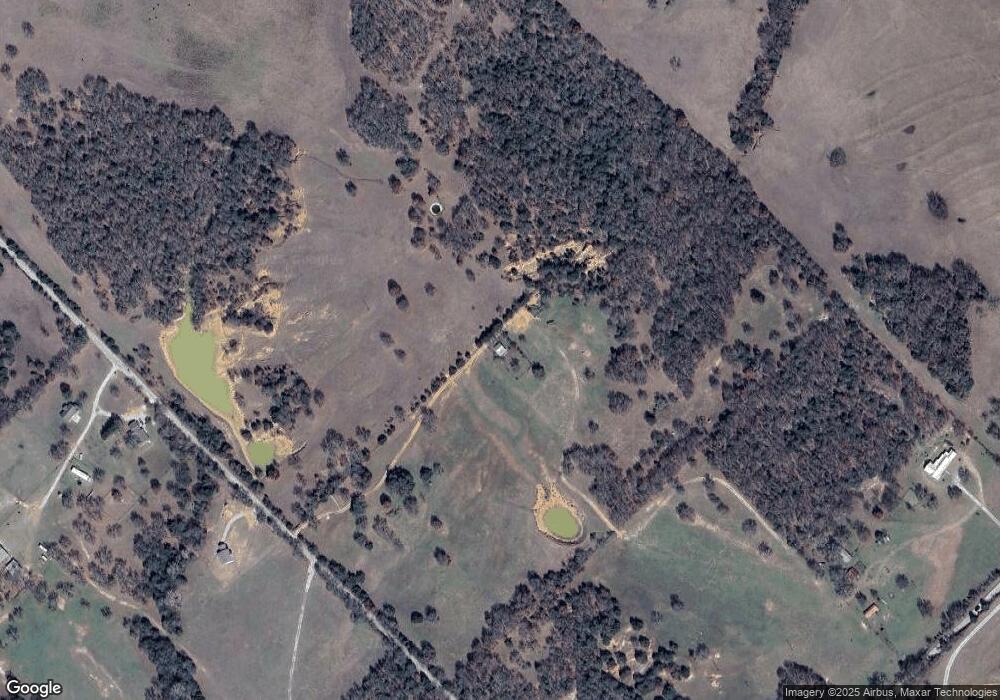
Map
Nearby Homes
- TBD Pr 2454
- 2454 Private Rd
- 2080 County Road 2445
- TBD3 N Fm 730
- 2727 Greenwood Rd
- 145 County Road 2327
- TBD County Road 2740
- 2591 Fm 1204
- 117 County Road 2646
- 200 Pr 2462
- 459 Private Road 2625
- 1300 County Road 2360
- 188 Private Road 2356
- 392 Pr Road 2625
- TBD 13.7+/- Acres County Road 2560
- 1430 County Road 2735
- 124 Blackstar Ln
- 116 Blackstar Ln
- 132 Blackstar Ln
- 159 Blackstar Ln
- 304 County Road 2440
- 178 Private Road 2457
- 178 Private Road 2457
- 178 Private Road 2457
- 4305 Greenwood Rd
- 4305 Greenwood Rd
- 139 County Road 2440
- 4127 Greenwood Rd
- 4127 Greenwood Rd
- 445 County Road 2440
- 336 Private Road 2452
- 336 Private Road 2452
- 532 County Road 2440
- 558 County Road 2440
- 138 County Road 2535
- 668 County Road 2445
- 669 County Road 2440
- TBD County Road 2445
- 3849 Greenwood Rd
- 3849 Greenwood Rd