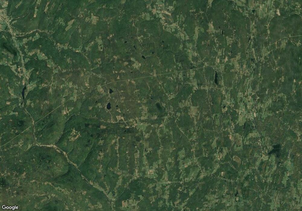
282 County Route 361 Rensselaerville, NY 12147
Estimated Value: $355,000 - $466,000
4
Beds
2
Baths
2,334
Sq Ft
$175/Sq Ft
Est. Value
About This Home
This home is located at 282 County Route 361, Rensselaerville, NY 12147 and is currently estimated at $408,618, approximately $175 per square foot. 282 County Route 361 is a home located in Albany County with nearby schools including Scott M. Ellis Elementary School, Greenville Middle School, and Greenville High School.
Ownership History
Date
Name
Owned For
Owner Type
Purchase Details
Closed on
Sep 29, 2022
Sold by
Stoddard Christopher
Bought by
Halligan Brendon and Goodfellow Sierra
Current Estimated Value
Home Financials for this Owner
Home Financials are based on the most recent Mortgage that was taken out on this home.
Original Mortgage
$286,000
Outstanding Balance
$261,543
Interest Rate
5.66%
Mortgage Type
New Conventional
Estimated Equity
$147,075
Purchase Details
Closed on
Apr 18, 2005
Sold by
Perez William
Bought by
Eaton Crystal L
Create a Home Valuation Report for This Property
The Home Valuation Report is an in-depth analysis detailing your home's value as well as a comparison with similar homes in the area
Home Values in the Area
Average Home Value in this Area
Purchase History
| Date | Buyer | Sale Price | Title Company |
|---|---|---|---|
| Halligan Brendon | $370,000 | -- | |
| Eaton Crystal L | $33,000 | Robert Gibson |
Source: Public Records
Mortgage History
| Date | Status | Borrower | Loan Amount |
|---|---|---|---|
| Open | Halligan Brendon | $286,000 |
Source: Public Records
Tax History Compared to Growth
Tax History
| Year | Tax Paid | Tax Assessment Tax Assessment Total Assessment is a certain percentage of the fair market value that is determined by local assessors to be the total taxable value of land and additions on the property. | Land | Improvement |
|---|---|---|---|---|
| 2024 | $7,220 | $2,170 | $300 | $1,870 |
| 2023 | $6,949 | $2,100 | $300 | $1,800 |
| 2022 | $6,899 | $2,100 | $300 | $1,800 |
| 2021 | $7,130 | $2,100 | $300 | $1,800 |
| 2020 | $6,139 | $2,100 | $300 | $1,800 |
| 2019 | $64 | $2,100 | $300 | $1,800 |
| 2018 | $5,746 | $2,100 | $300 | $1,800 |
| 2017 | $5,887 | $2,100 | $300 | $1,800 |
| 2016 | $5,838 | $2,100 | $300 | $1,800 |
| 2015 | -- | $2,100 | $300 | $1,800 |
| 2014 | -- | $2,100 | $300 | $1,800 |
Source: Public Records
Map
Nearby Homes
- 207 Kropp Rd
- 1250 County Route 351
- L3.22 Clickman Rd
- 1451 Cr 351
- 25 County Route 413
- L12 Cr 353
- L7.110 County Route 402
- 505 County Route 1
- 881 County Road 402
- 881 County Route 402
- 145 Lake Rd
- 172 Lake Rd
- L36 County Route 358
- 12 Sherman Ln
- 645 New York 143
- L18.4 County Road 410
- 891 County Road 401
- 243 Lake Rd
- 315 Cr 358
- 28 Hannay Rd
- 282 County Route 361
- 282 County Rt 361
- 366 Town Line Rd
- 389 Town Line Rd
- 299 County Route 361
- 299 County Route 361
- 274 County Route 361
- 556 County Route 413
- 248 County Route 361
- 483 County Route 413
- 275 Kropp Rd
- 0 Route 413 Unit 133354
- 0 County Rt 413 Unit 202024251
- 413 County Rt 413
- 212 County Route 361
- 209 County Route 361
- 414 County Route 413
- 389 County Route 361
- 240 Kropp Rd
- 385 County Route 361
