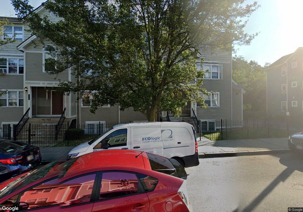
282 Dudley St Unit B13 Roxbury, MA 02119
Lower Roxbury NeighborhoodEstimated Value: $374,000 - $422,412
2
Beds
1
Bath
1,070
Sq Ft
$381/Sq Ft
Est. Value
About This Home
This home is located at 282 Dudley St Unit B13, Roxbury, MA 02119 and is currently estimated at $407,853, approximately $381 per square foot. 282 Dudley St Unit B13 is a home located in Suffolk County with nearby schools including Dudley Street Neighborhood Charter School and City on a Hill Charter Public School.
Ownership History
Date
Name
Owned For
Owner Type
Purchase Details
Closed on
May 18, 2006
Sold by
Moultrie Sadie M
Bought by
Williams Barry and Moultrie-Williams Sadie M
Current Estimated Value
Purchase Details
Closed on
Aug 16, 1993
Sold by
Oic Hsng Dev Corp
Bought by
Moultrie Sadie M
Home Financials for this Owner
Home Financials are based on the most recent Mortgage that was taken out on this home.
Original Mortgage
$42,000
Interest Rate
7.16%
Mortgage Type
Purchase Money Mortgage
Create a Home Valuation Report for This Property
The Home Valuation Report is an in-depth analysis detailing your home's value as well as a comparison with similar homes in the area
Home Values in the Area
Average Home Value in this Area
Purchase History
| Date | Buyer | Sale Price | Title Company |
|---|---|---|---|
| Williams Barry | -- | -- | |
| Moultrie Sadie M | $60,000 | -- |
Source: Public Records
Mortgage History
| Date | Status | Borrower | Loan Amount |
|---|---|---|---|
| Previous Owner | Moultrie Sadie M | $42,000 | |
| Closed | Moultrie Sadie M | $7,251 |
Source: Public Records
Tax History Compared to Growth
Tax History
| Year | Tax Paid | Tax Assessment Tax Assessment Total Assessment is a certain percentage of the fair market value that is determined by local assessors to be the total taxable value of land and additions on the property. | Land | Improvement |
|---|---|---|---|---|
| 2025 | $3,651 | $315,300 | $0 | $315,300 |
| 2024 | $3,175 | $291,300 | $0 | $291,300 |
| 2023 | $3,007 | $280,000 | $0 | $280,000 |
| 2022 | $2,902 | $266,700 | $0 | $266,700 |
| 2021 | $2,790 | $261,500 | $0 | $261,500 |
| 2020 | $1,827 | $173,000 | $0 | $173,000 |
| 2019 | $1,657 | $157,200 | $0 | $157,200 |
| 2018 | $1,498 | $142,900 | $0 | $142,900 |
| 2017 | $1,414 | $133,500 | $0 | $133,500 |
| 2016 | $1,373 | $124,800 | $0 | $124,800 |
| 2015 | $1,468 | $121,200 | $0 | $121,200 |
| 2014 | $1,439 | $114,400 | $0 | $114,400 |
Source: Public Records
Map
Nearby Homes
- 2 Mount Pleasant Place Unit 2
- 250 Dudley St Unit 1
- 91 Zeigler St
- 108 Mount Pleasant Ave Unit 108R
- 101 Mount Pleasant Ave
- 20 Rockville Park
- 22 Rockville Park
- 10 Taber St Unit 501
- 24 Clarence St Unit 24R
- 92 George St Unit 203
- 33 Copeland Park Unit C
- 2149 Washington St Unit 604
- 2149 Washington St Unit 610
- 80 Blue Hill Ave Unit 5
- 30 Copeland St Unit 1
- 51 Saint James St
- 7 Langford Park Unit 3
- 37 Regent St Unit 2
- 32 Williams St Unit 1
- 59 Perrin St
- 282 Dudley St Unit B16
- 282 Dudley St Unit B15
- 282 Dudley St Unit B14
- 276 Dudley St Unit B11
- 276 Dudley St Unit B10
- 276 Dudley St Unit B9
- 276 Dudley St Unit 9
- 272 Dudley St Unit 8
- 272 Dudley St Unit 7
- 272 Dudley St Unit 6
- 268 Dudley St Unit 4
- 268 Dudley St Unit 3
- 268 Dudley St Unit 1
- 143 Eustis St
- 145 Eustis St
- 139 Eustis St
- 133 Eustis St
- 133 Eustis St Unit 2
- 133 Eustis St Unit 1
- 291 Dudley St