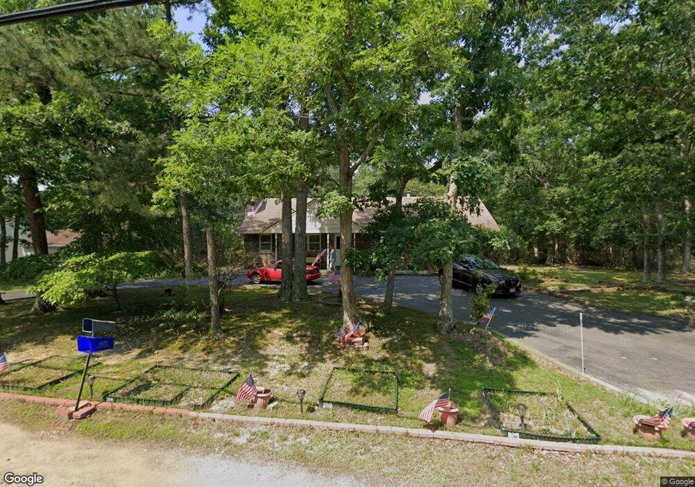
282 Forge Rd West Creek, NJ 08092
Estimated Value: $319,729 - $467,000
3
Beds
2
Baths
2,814
Sq Ft
$149/Sq Ft
Est. Value
About This Home
This home is located at 282 Forge Rd, West Creek, NJ 08092 and is currently estimated at $419,432, approximately $149 per square foot. 282 Forge Rd is a home located in Ocean County with nearby schools including Eagleswood Elementary School, Pinelands Regional Junior High School, and Pinelands Regional High School.
Ownership History
Date
Name
Owned For
Owner Type
Purchase Details
Closed on
Apr 10, 2006
Sold by
Occhipinti Alice D and James Alice D
Bought by
Occhipinti Alice D
Current Estimated Value
Purchase Details
Closed on
Jun 19, 1998
Sold by
Adams Anna Theresa
Bought by
James Alice D
Home Financials for this Owner
Home Financials are based on the most recent Mortgage that was taken out on this home.
Original Mortgage
$46,000
Outstanding Balance
$9,235
Interest Rate
7.09%
Estimated Equity
$410,197
Create a Home Valuation Report for This Property
The Home Valuation Report is an in-depth analysis detailing your home's value as well as a comparison with similar homes in the area
Home Values in the Area
Average Home Value in this Area
Purchase History
| Date | Buyer | Sale Price | Title Company |
|---|---|---|---|
| Occhipinti Alice D | -- | None Available | |
| James Alice D | $116,500 | -- |
Source: Public Records
Mortgage History
| Date | Status | Borrower | Loan Amount |
|---|---|---|---|
| Open | James Alice D | $46,000 |
Source: Public Records
Tax History
| Year | Tax Paid | Tax Assessment Tax Assessment Total Assessment is a certain percentage of the fair market value that is determined by local assessors to be the total taxable value of land and additions on the property. | Land | Improvement |
|---|---|---|---|---|
| 2025 | $5,770 | $209,600 | $78,600 | $131,000 |
| 2024 | $5,747 | $209,600 | $78,600 | $131,000 |
| 2023 | $5,603 | $209,600 | $78,600 | $131,000 |
| 2022 | $5,603 | $209,600 | $78,600 | $131,000 |
| 2021 | $5,184 | $209,600 | $78,600 | $131,000 |
| 2020 | $5,684 | $209,600 | $78,600 | $131,000 |
| 2019 | $5,512 | $209,600 | $78,600 | $131,000 |
| 2018 | $5,141 | $209,600 | $78,600 | $131,000 |
| 2017 | $5,129 | $209,600 | $78,600 | $131,000 |
| 2016 | $4,959 | $209,600 | $78,600 | $131,000 |
| 2015 | $4,764 | $209,600 | $78,600 | $131,000 |
| 2014 | $4,607 | $209,600 | $78,600 | $131,000 |
Source: Public Records
Map
Nearby Homes
- 191 Coxs Ave Unit A
- 191 A Coxs Ave
- 157 Coxs Ave
- 9 Eagle Ridge Ln
- 126 Bartlett Ave
- 26 Blue Heron Ln
- 548 Thomas Ave
- 39 Rodeo Dr
- 27 Rodeo Dr
- 670 Julian Ct
- 0 Dinner Point Unit NJOC2036750
- 0 Dinner Point Ave Unit 22526583
- 1463 Route 539
- 827 County Road 539
- 116 Polly Pod Rd
- 1415 Route 539
- 11 Travis Way
- 896 U S 9
- 45 Sea Breeze Dr
- 215 Parkertown Dr
Your Personal Tour Guide
Ask me questions while you tour the home.