282 Hall Rd Parrott, GA 39877
Estimated Value: $296,000
--
Bed
--
Bath
484
Sq Ft
$612/Sq Ft
Est. Value
About This Home
This home is located at 282 Hall Rd, Parrott, GA 39877 and is currently estimated at $296,000, approximately $611 per square foot. 282 Hall Rd is a home with nearby schools including Cooper-Carver Elementary School, Terrell Middle School, and Terrell High School.
Ownership History
Date
Name
Owned For
Owner Type
Purchase Details
Closed on
Jan 7, 2022
Sold by
Weekley Barry S
Bought by
Jem Farms Land Holdings Llc
Current Estimated Value
Purchase Details
Closed on
Mar 28, 2018
Sold by
Trustee Cozart Carlton Cone Cozart Carlton Co
Bought by
Weekley Barry S and Weekley Sondra
Purchase Details
Closed on
Mar 29, 2011
Sold by
Cozart Carlton C
Bought by
Cozart Calton Cone and Carlton Cone Cozart Revocable Trust
Purchase Details
Closed on
Mar 24, 2003
Sold by
Walls Leila
Bought by
Cozart Carlton C
Create a Home Valuation Report for This Property
The Home Valuation Report is an in-depth analysis detailing your home's value as well as a comparison with similar homes in the area
Home Values in the Area
Average Home Value in this Area
Purchase History
| Date | Buyer | Sale Price | Title Company |
|---|---|---|---|
| Jem Farms Land Holdings Llc | $1,354,688 | -- | |
| Weekley Barry S | $451,401 | -- | |
| Weekley Barry S | $19,987 | -- | |
| Cozart Calton Cone | -- | -- | |
| Cozart Carlton C | $238,700 | -- |
Source: Public Records
Tax History Compared to Growth
Tax History
| Year | Tax Paid | Tax Assessment Tax Assessment Total Assessment is a certain percentage of the fair market value that is determined by local assessors to be the total taxable value of land and additions on the property. | Land | Improvement |
|---|---|---|---|---|
| 2024 | $2,010 | $83,031 | $70,251 | $12,780 |
| 2023 | $1,769 | $83,031 | $70,251 | $12,780 |
| 2022 | $1,731 | $83,031 | $70,251 | $12,780 |
| 2021 | $1,694 | $83,031 | $70,251 | $12,780 |
| 2020 | $1,659 | $83,031 | $70,251 | $12,780 |
| 2019 | $1,572 | $83,031 | $70,251 | $12,780 |
| 2018 | $1,540 | $83,031 | $70,251 | $12,780 |
| 2017 | $2,490 | $83,031 | $70,251 | $12,780 |
| 2016 | $1,479 | $83,031 | $70,251 | $12,780 |
| 2015 | -- | $14,313 | $1,533 | $12,780 |
| 2014 | -- | $14,313 | $1,533 | $12,780 |
| 2013 | -- | $14,313 | $1,533 | $12,780 |
Source: Public Records
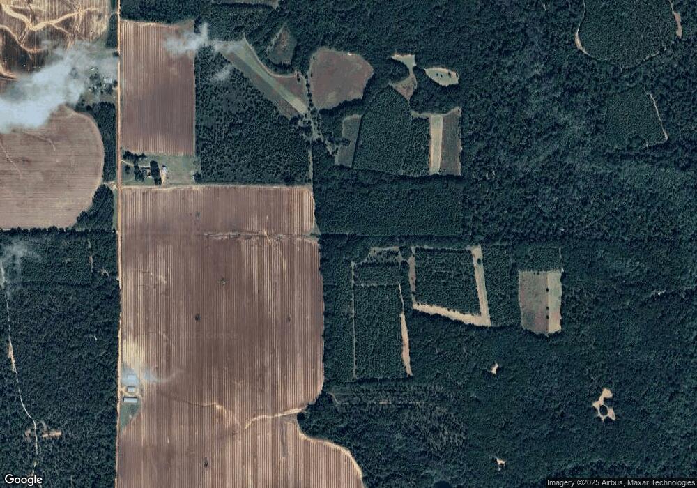
Map
Nearby Homes
- 2373 Moncus Rd
- 6310 Georgia 520
- 2055 Payne Pond Rd
- 540 Veneys Mill Pond Rd
- 151 College St NE
- 0 Main St
- 161 College St
- 318 Church St
- 109 Main St
- 6605 Pearl St
- 3176 E Centerpoint Rd
- 0 Cattle Gap Rd
- 115 Deer Camp Rd
- 1853 Warner Rd
- 109 Cattle Gap Rd
- 3649 Benevolence Hwy
- 4560 Graves Hwy
- Pierce Rd
- 48 Cheney St
- 6 E Railroad St