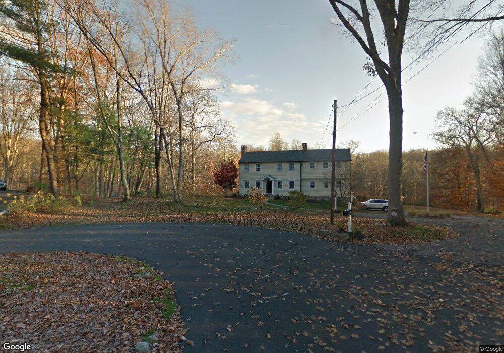
282 Jonathan Rd New Canaan, CT 06840
Estimated Value: $1,826,647 - $2,137,000
4
Beds
4
Baths
2,616
Sq Ft
$762/Sq Ft
Est. Value
About This Home
This home is located at 282 Jonathan Rd, New Canaan, CT 06840 and is currently estimated at $1,994,162, approximately $762 per square foot. 282 Jonathan Rd is a home located in Fairfield County with nearby schools including West Elementary School, Saxe Middle School, and New Canaan High School.
Ownership History
Date
Name
Owned For
Owner Type
Purchase Details
Closed on
May 17, 2011
Sold by
Obernier Suzan
Bought by
Mahoney Francis Xavier and Mahoney Allyson B
Current Estimated Value
Purchase Details
Closed on
Oct 22, 2010
Sold by
Santella Peter
Bought by
Santella Suzan D
Purchase Details
Closed on
Feb 28, 1997
Sold by
Est Selway Tom Jr and Selway Tom G
Bought by
Santella Susan O
Create a Home Valuation Report for This Property
The Home Valuation Report is an in-depth analysis detailing your home's value as well as a comparison with similar homes in the area
Home Values in the Area
Average Home Value in this Area
Purchase History
| Date | Buyer | Sale Price | Title Company |
|---|---|---|---|
| Mahoney Francis Xavier | $975,000 | -- | |
| Santella Suzan D | -- | -- | |
| Santella Susan O | $450,000 | -- |
Source: Public Records
Mortgage History
| Date | Status | Borrower | Loan Amount |
|---|---|---|---|
| Open | Santella Susan O | $1,031,240 | |
| Closed | Santella Susan O | $1,103,521 |
Source: Public Records
Tax History Compared to Growth
Tax History
| Year | Tax Paid | Tax Assessment Tax Assessment Total Assessment is a certain percentage of the fair market value that is determined by local assessors to be the total taxable value of land and additions on the property. | Land | Improvement |
|---|---|---|---|---|
| 2025 | $15,226 | $912,310 | $468,580 | $443,730 |
| 2024 | $14,725 | $912,310 | $468,580 | $443,730 |
| 2023 | $14,388 | $759,640 | $501,200 | $258,440 |
| 2022 | $13,955 | $759,640 | $501,200 | $258,440 |
| 2021 | $13,795 | $759,640 | $501,200 | $258,440 |
| 2020 | $13,795 | $759,640 | $501,200 | $258,440 |
| 2019 | $13,856 | $759,640 | $501,200 | $258,440 |
| 2018 | $15,037 | $886,620 | $587,790 | $298,830 |
| 2017 | $14,780 | $886,620 | $587,790 | $298,830 |
| 2016 | $14,461 | $886,620 | $587,790 | $298,830 |
| 2015 | $14,177 | $886,620 | $587,790 | $298,830 |
| 2014 | $13,778 | $886,620 | $587,790 | $298,830 |
Source: Public Records
Map
Nearby Homes
- 1421 Oenoke Ridge
- 176 Logan Rd
- 1247 Oenoke Ridge
- 171 Proprietors Crossing
- 928 West Rd
- 119 Proprietors Crossing
- 62 Summersweet Ln
- 26 Pequot Ln
- 22 Father Peters Ln
- 230 & 244 West Rd
- 104 Dans Hwy
- 331 Dans Hwy
- 33 Peters Ln
- 0 Rolling Meadow Ln Unit ONEH6302491
- 650 Laurel Rd
- 104 Ramhorne Rd
- 148 W Hills Rd
- 51 Reeder Ln
- 239 Deer Hill
- 37 East St