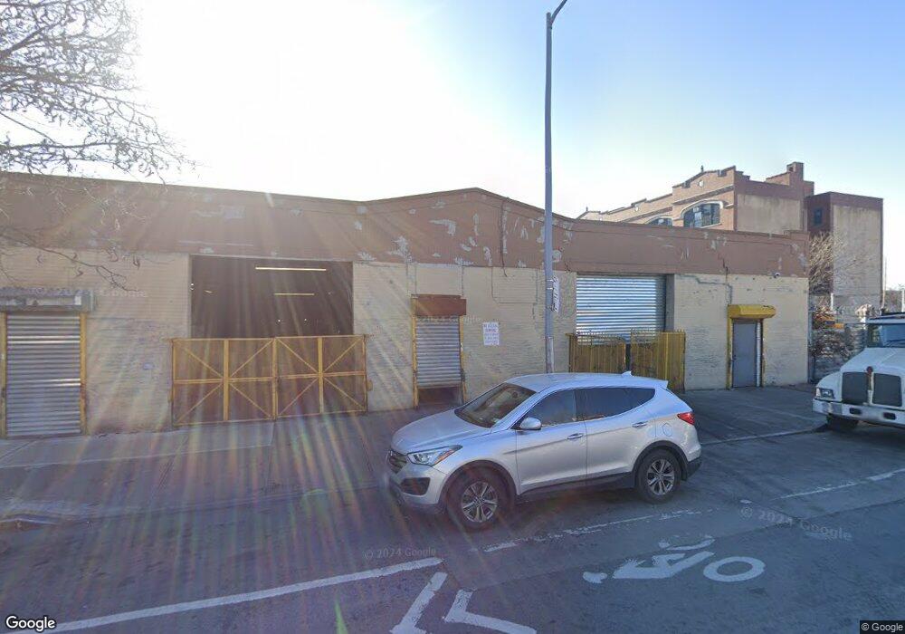
282 Liberty Ave Brooklyn, NY 11207
Brownsville Neighborhood
Studio
--
Bath
8,000
Sq Ft
8,015
Sq Ft
About This Home
This home is located at 282 Liberty Ave, Brooklyn, NY 11207. 282 Liberty Ave is a home located in Kings County with nearby schools including J.H.S 292 Margaret S. Douglas, Brownsville Collegiate Charter School, and Brooklyn Ascend Charter School.
Ownership History
Date
Name
Owned For
Owner Type
Purchase Details
Closed on
Aug 16, 2001
Sold by
5801 Avenue J Realty Cor
Bought by
282 Liberty Corp
Purchase Details
Closed on
Feb 2, 1998
Sold by
Russo Luciano
Bought by
5801 Avenue J Realty Corp
Purchase Details
Closed on
Nov 26, 1996
Sold by
Applebaum Marion
Bought by
Russo Luciano
Create a Home Valuation Report for This Property
The Home Valuation Report is an in-depth analysis detailing your home's value as well as a comparison with similar homes in the area
Home Values in the Area
Average Home Value in this Area
Purchase History
| Date | Buyer | Sale Price | Title Company |
|---|---|---|---|
| 282 Liberty Corp | -- | -- | |
| 282 Liberty Corp | -- | -- | |
| 5801 Avenue J Realty Corp | -- | -- | |
| 5801 Avenue J Realty Corp | -- | -- | |
| Russo Luciano | $110,000 | Commonwealth Land Title Ins | |
| Russo Luciano | $110,000 | Commonwealth Land Title Ins |
Source: Public Records
Tax History
| Year | Tax Paid | Tax Assessment Tax Assessment Total Assessment is a certain percentage of the fair market value that is determined by local assessors to be the total taxable value of land and additions on the property. | Land | Improvement |
|---|---|---|---|---|
| 2025 | $25,758 | $270,000 | $72,000 | $198,000 |
| 2024 | $25,758 | $272,250 | $72,000 | $200,250 |
| 2023 | $25,007 | $260,550 | $72,000 | $188,550 |
| 2022 | $24,208 | $238,050 | $72,000 | $166,050 |
| 2021 | $21,319 | $199,350 | $72,000 | $127,350 |
| 2019 | $20,392 | $230,850 | $72,000 | $158,850 |
| 2018 | $19,305 | $211,500 | $72,000 | $139,500 |
| 2017 | $17,373 | $186,750 | $72,000 | $114,750 |
| 2016 | $16,273 | $164,700 | $72,000 | $92,700 |
| 2015 | $9,902 | $175,950 | $72,000 | $103,950 |
| 2014 | $9,902 | $150,300 | $72,000 | $78,300 |
Source: Public Records
Map
Nearby Homes
- 45 Hinsdale St
- 200 New Jersey Ave
- 239 New Jersey Ave
- 90 Sackman St
- 2358 Pacific St
- 27 Sherlock Place
- 90 Wyona St
- 2347 Pacific St
- 472 Sutter Ave
- 243 Wyona St
- 317 Pennsylvania Ave
- 392 New Jersey Ave Unit 3921
- 57 Wyona St
- 207 Bradford St
- 1782 Pitkin Ave
- 105 Belmont Ave
- 1945 Broadway
- 148 Somers St
- 52 Bradford St
- 168 Miller Ave
- 270 Liberty Ave
- 115 Williams Ave Unit 4
- 284-286 Liberty Ave
- 122 Alabama Ave
- 277 Liberty Ave
- 101 Williams Ave
- 99 Williams Ave
- 281-283 Liberty Ave
- 279 Liberty Ave
- 95 Williams Ave
- 300 Liberty Ave
- 264 Liberty Ave
- 93 Williams Ave
- 93 Williams Ave Unit Building
- 292 Liberty Ave
- 260 Liberty Ave
- 114 Williams Ave
- 91 Williams Ave
- 258 Liberty Ave
- 106 Alabama Ave
Your Personal Tour Guide
Ask me questions while you tour the home.