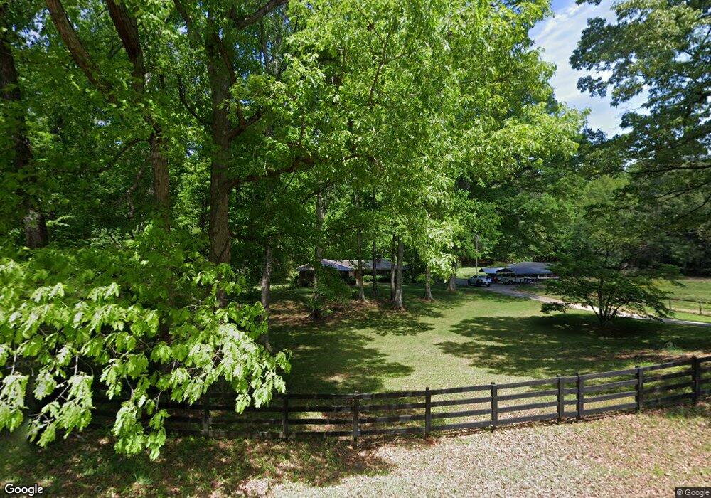
282 Moore Rd Griffin, GA 30223
Spalding County NeighborhoodEstimated Value: $262,000 - $305,000
3
Beds
2
Baths
1,589
Sq Ft
$177/Sq Ft
Est. Value
About This Home
This home is located at 282 Moore Rd, Griffin, GA 30223 and is currently estimated at $282,008, approximately $177 per square foot. 282 Moore Rd is a home located in Spalding County with nearby schools including Cowan Road Elementary School, Cowan Road Middle School, and Griffin High School.
Ownership History
Date
Name
Owned For
Owner Type
Purchase Details
Closed on
Jan 18, 2011
Sold by
Ponder Mitchell J Trust
Bought by
Ponder Mitchell J and Ponder Robert D
Current Estimated Value
Home Financials for this Owner
Home Financials are based on the most recent Mortgage that was taken out on this home.
Original Mortgage
$128,000
Outstanding Balance
$3,961
Interest Rate
4.82%
Mortgage Type
New Conventional
Estimated Equity
$278,047
Purchase Details
Closed on
Mar 30, 2010
Sold by
Ponder Robert D
Bought by
Ponder Mitchell J Living Trust
Purchase Details
Closed on
Mar 31, 1994
Sold by
Cash Joanne A
Bought by
Ponder Rbt D
Home Financials for this Owner
Home Financials are based on the most recent Mortgage that was taken out on this home.
Original Mortgage
$101,750
Interest Rate
7.1%
Purchase Details
Closed on
Jun 1, 1973
Sold by
Maxwell Grady
Bought by
Conner Jo Anne A
Purchase Details
Closed on
Jul 28, 1961
Bought by
Maxwell Grady
Create a Home Valuation Report for This Property
The Home Valuation Report is an in-depth analysis detailing your home's value as well as a comparison with similar homes in the area
Home Values in the Area
Average Home Value in this Area
Purchase History
| Date | Buyer | Sale Price | Title Company |
|---|---|---|---|
| Ponder Mitchell J | -- | -- | |
| Ponder Mitchell J Living Trust | -- | -- | |
| Ponder Rbt D | $120,000 | -- | |
| Conner Jo Anne A | $45,000 | -- | |
| Maxwell Grady | $3,300 | -- |
Source: Public Records
Mortgage History
| Date | Status | Borrower | Loan Amount |
|---|---|---|---|
| Open | Ponder Mitchell J | $128,000 | |
| Previous Owner | Ponder Rbt D | $101,750 |
Source: Public Records
Tax History Compared to Growth
Tax History
| Year | Tax Paid | Tax Assessment Tax Assessment Total Assessment is a certain percentage of the fair market value that is determined by local assessors to be the total taxable value of land and additions on the property. | Land | Improvement |
|---|---|---|---|---|
| 2024 | $2,454 | $91,164 | $34,290 | $56,874 |
| 2023 | $2,454 | $91,164 | $34,290 | $56,874 |
| 2022 | $2,232 | $79,394 | $27,432 | $51,962 |
| 2021 | $1,694 | $64,662 | $27,432 | $37,230 |
| 2020 | $1,697 | $64,662 | $27,432 | $37,230 |
| 2019 | $1,728 | $64,662 | $27,432 | $37,230 |
| 2018 | $1,667 | $61,931 | $27,432 | $34,499 |
| 2017 | $1,192 | $59,841 | $27,648 | $32,193 |
| 2016 | $1,213 | $59,841 | $27,648 | $32,193 |
| 2015 | $1,248 | $59,841 | $27,648 | $32,193 |
| 2014 | $1,271 | $59,841 | $27,648 | $32,193 |
Source: Public Records
Map
Nearby Homes
- 580 Hardy Ln
- 171 Davidson Dr
- 4251 Fayetteville Rd
- 2637 Birdie Rd
- 394 Sidney Dr
- 164 David Elder Rd
- 1100 Stiles Crossing
- 1102 Stiles Crossing
- 725 County Line Church Rd
- 1019 Oakridge Dr
- 3701 Fayetteville Rd
- 697 Steele Rd
- 1317 Cheatham Rd
- 1456 Birdie Rd
- 0 Deason St Unit 23730
- 0 Deason St Unit 10624935
- 177 Lowery Rd
- 155 Chantilly Ln
- 265 Steele Rd
- 505 New Salem Rd
- 226 Moore Rd
- 285 Moore Rd
- 362 Moore Rd
- 204 Moore Rd
- 2 Martin Rd
- 377 Moore Rd
- 68 Martin Rd
- 41 Valley Hill Rd
- 417 Moore Rd
- 68 Langston Rd
- 20 Valley Hill Rd
- 55 Valley Hill Rd
- 775 Hardy Ln Unit LOT 1
- 0 Hardy Ln Unit LOT 6,7 20151410
- 0 Hardy Ln Unit LOT 8 20132735
- 0 Hardy Ln Unit LOT 6 20132730
- 0 Hardy Ln Unit LOT 3 20132706
- 0 Hardy Ln Unit 8869165
- 0 Hardy Ln Unit 8923871
- 0 Hardy Ln Unit 10004673