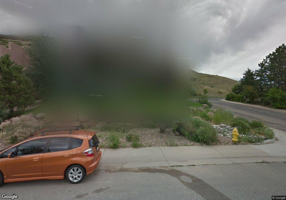
282 Normans St Golden, CO 80403
Downtown Golden NeighborhoodEstimated Value: $1,665,739 - $2,022,000
6
Beds
7
Baths
3,012
Sq Ft
$630/Sq Ft
Est. Value
About This Home
This home is located at 282 Normans St, Golden, CO 80403 and is currently estimated at $1,896,935, approximately $629 per square foot. 282 Normans St is a home located in Jefferson County with nearby schools including Mitchell Elementary School, Bell Middle School, and Golden High School.
Ownership History
Date
Name
Owned For
Owner Type
Purchase Details
Closed on
Aug 26, 2016
Sold by
Schureman Cris
Bought by
Schureman Cris and Schureman Stephanie
Current Estimated Value
Home Financials for this Owner
Home Financials are based on the most recent Mortgage that was taken out on this home.
Original Mortgage
$370,000
Outstanding Balance
$295,732
Interest Rate
3.45%
Mortgage Type
New Conventional
Estimated Equity
$1,601,203
Purchase Details
Closed on
Aug 31, 1998
Sold by
Mayford Land Corp
Bought by
Schureman Cris
Create a Home Valuation Report for This Property
The Home Valuation Report is an in-depth analysis detailing your home's value as well as a comparison with similar homes in the area
Home Values in the Area
Average Home Value in this Area
Purchase History
| Date | Buyer | Sale Price | Title Company |
|---|---|---|---|
| Schureman Cris | -- | Fntc | |
| Schureman Cris | $87,500 | Colorado National Title |
Source: Public Records
Mortgage History
| Date | Status | Borrower | Loan Amount |
|---|---|---|---|
| Open | Schureman Cris | $370,000 |
Source: Public Records
Tax History Compared to Growth
Tax History
| Year | Tax Paid | Tax Assessment Tax Assessment Total Assessment is a certain percentage of the fair market value that is determined by local assessors to be the total taxable value of land and additions on the property. | Land | Improvement |
|---|---|---|---|---|
| 2024 | $8,866 | $97,599 | $35,476 | $62,123 |
| 2023 | $8,866 | $97,599 | $35,476 | $62,123 |
| 2022 | $6,940 | $80,276 | $29,809 | $50,467 |
| 2021 | $7,052 | $82,587 | $30,667 | $51,920 |
| 2020 | $5,921 | $69,693 | $22,131 | $47,562 |
| 2019 | $5,836 | $69,693 | $22,131 | $47,562 |
| 2018 | $5,371 | $62,224 | $18,260 | $43,964 |
| 2017 | $4,866 | $62,224 | $18,260 | $43,964 |
| 2016 | $5,405 | $64,643 | $16,756 | $47,887 |
| 2015 | $4,861 | $64,643 | $16,756 | $47,887 |
| 2014 | $4,861 | $54,591 | $19,869 | $34,722 |
Source: Public Records
Map
Nearby Homes
- 213 Ford St
- 613 Iowa St
- 705 1st St
- 565 East St
- 209 Washington Ave
- 401 N Columbine St
- 407 Washington Ave Unit B
- 220 Lily Ln
- 317 Sunshine Pkwy
- 410 Cheyenne St
- 911 6th St
- 722 Washington Ave Unit 306
- 807 9th St
- 1014 8th St
- 474 Snowberry Ct
- 620 11th St Unit 202
- 707 Elm Cir
- 165 Washington St
- 1203 Washington Ave Unit 205
- 708 13th St Unit 250
- 270 Normans St
- 301 Cliff Line Rd
- 818 Partridge Cir
- 310 Ptarmigan St
- 258 Normans St
- 303 Cliff Line Rd
- 267 Normans St
- 311 Ptarmigan St
- 320 Ptarmigan St
- 317 Ptarmigan St
- 816 Partridge Cir
- 305 Cliff Line Rd
- 246 Normans St
- 610 Partridge Cir
- 815 Partridge Cir
- 323 Ptarmigan St
- 618 Partridge Cir
- 302 Cliff Line Rd
- 809 Partridge Cir
- 243 Normans St
