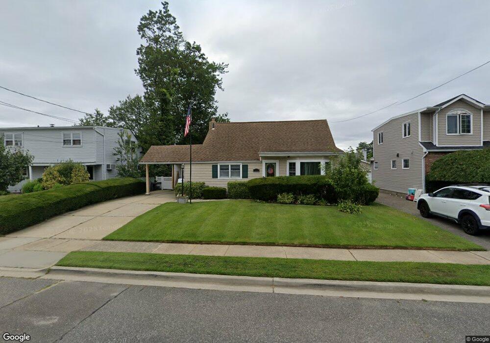
282 Philadelphia Ave Massapequa Park, NY 11762
Estimated Value: $731,206 - $774,000
--
Bed
1
Bath
1,693
Sq Ft
$445/Sq Ft
Est. Value
About This Home
This home is located at 282 Philadelphia Ave, Massapequa Park, NY 11762 and is currently estimated at $752,603, approximately $444 per square foot. 282 Philadelphia Ave is a home located in Nassau County with nearby schools including Berner Middle School, Massapequa High School - Ames Campus, and Massapequa High School.
Ownership History
Date
Name
Owned For
Owner Type
Purchase Details
Closed on
Aug 16, 2019
Sold by
Moller Family Trust
Bought by
Moller Traceyann
Current Estimated Value
Home Financials for this Owner
Home Financials are based on the most recent Mortgage that was taken out on this home.
Original Mortgage
$274,250
Outstanding Balance
$240,684
Interest Rate
3.8%
Mortgage Type
New Conventional
Estimated Equity
$511,919
Purchase Details
Closed on
Jul 26, 2012
Sold by
Moller Ellen
Bought by
Moller Ellen and Farkash Kristen
Purchase Details
Closed on
Nov 19, 2002
Sold by
Moller Robert
Create a Home Valuation Report for This Property
The Home Valuation Report is an in-depth analysis detailing your home's value as well as a comparison with similar homes in the area
Home Values in the Area
Average Home Value in this Area
Purchase History
| Date | Buyer | Sale Price | Title Company |
|---|---|---|---|
| Moller Traceyann | $260,000 | None Available | |
| Moller Ellen | -- | -- | |
| -- | -- | -- |
Source: Public Records
Mortgage History
| Date | Status | Borrower | Loan Amount |
|---|---|---|---|
| Open | Moller Traceyann | $274,250 |
Source: Public Records
Tax History Compared to Growth
Tax History
| Year | Tax Paid | Tax Assessment Tax Assessment Total Assessment is a certain percentage of the fair market value that is determined by local assessors to be the total taxable value of land and additions on the property. | Land | Improvement |
|---|---|---|---|---|
| 2025 | $11,758 | $439 | $183 | $256 |
| 2024 | $2,843 | $432 | $180 | $252 |
| 2023 | $10,398 | $451 | $188 | $263 |
| 2022 | $10,398 | $451 | $188 | $263 |
| 2021 | $9,497 | $451 | $188 | $263 |
| 2020 | $8,884 | $497 | $496 | $1 |
| 2019 | $2,239 | $532 | $521 | $11 |
| 2018 | $303 | $568 | $0 | $0 |
| 2017 | $303 | $603 | $525 | $78 |
| 2016 | $2,109 | $639 | $500 | $139 |
| 2015 | $1,958 | $674 | $470 | $204 |
| 2014 | $1,958 | $674 | $470 | $204 |
| 2013 | $1,997 | $710 | $495 | $215 |
Source: Public Records
Map
Nearby Homes
- 312 Ocean Ave
- 332 Eastlake Ave
- 229 Philadelphia Ave
- 52 Westwood Rd S
- 208 Eastlake Ave
- 179 Park Ln
- 1 Oakdale Place
- 395 Pacific St
- 204 Broadway
- 46 Ford Dr W
- 366 Broadway
- 17 Linwood Place
- 6 Ford Dr W
- 384 Connecticut Ave
- 138 Eastgate Rd
- 3 Nancy Place
- 33 Ford Dr S
- 6 Martin St
- 251 Roosevelt Ave
- 208 Oak St
- 286 Philadelphia Ave
- 278 Philadelphia Ave
- 283 Ocean Ave
- 279 Ocean Ave
- 287 Ocean Ave
- 290 Philadelphia Ave
- 274 Philadelphia Ave
- 275 Ocean Ave
- 291 Ocean Ave
- 283 Philadelphia Ave
- 287 Philadelphia Ave
- 279 Philadelphia Ave
- 270 Philadelphia Ave
- 291 Philadelphia Ave
- 298 Philadelphia Ave
- 275 Philadelphia Ave
- 271 Ocean Ave
- 360 Pittsburg Ave
- 299 Ocean Ave
- 266 Philadelphia Ave