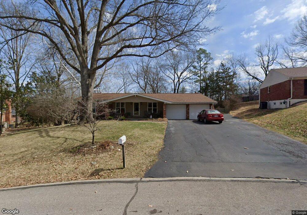
282 Portwind Place Ballwin, MO 63021
Estimated Value: $370,000 - $400,000
3
Beds
3
Baths
1,728
Sq Ft
$225/Sq Ft
Est. Value
About This Home
This home is located at 282 Portwind Place, Ballwin, MO 63021 and is currently estimated at $388,838, approximately $225 per square foot. 282 Portwind Place is a home located in St. Louis County with nearby schools including Ballwin Elementary School, Selvidge Middle School, and Marquette Sr. High School.
Ownership History
Date
Name
Owned For
Owner Type
Purchase Details
Closed on
Aug 8, 2003
Sold by
Decker Sherry D and Decker Robert E
Bought by
Doherty Steve M and Doherty Sara E
Current Estimated Value
Home Financials for this Owner
Home Financials are based on the most recent Mortgage that was taken out on this home.
Original Mortgage
$133,000
Outstanding Balance
$56,928
Interest Rate
5.35%
Mortgage Type
Purchase Money Mortgage
Estimated Equity
$331,910
Create a Home Valuation Report for This Property
The Home Valuation Report is an in-depth analysis detailing your home's value as well as a comparison with similar homes in the area
Home Values in the Area
Average Home Value in this Area
Purchase History
| Date | Buyer | Sale Price | Title Company |
|---|---|---|---|
| Doherty Steve M | $219,500 | -- |
Source: Public Records
Mortgage History
| Date | Status | Borrower | Loan Amount |
|---|---|---|---|
| Open | Doherty Steve M | $133,000 |
Source: Public Records
Tax History
| Year | Tax Paid | Tax Assessment Tax Assessment Total Assessment is a certain percentage of the fair market value that is determined by local assessors to be the total taxable value of land and additions on the property. | Land | Improvement |
|---|---|---|---|---|
| 2025 | $3,914 | $66,980 | $23,450 | $43,530 |
| 2024 | $3,914 | $55,880 | $19,530 | $36,350 |
| 2023 | $3,910 | $55,880 | $19,530 | $36,350 |
| 2022 | $4,056 | $53,840 | $19,530 | $34,310 |
| 2021 | $4,026 | $53,840 | $19,530 | $34,310 |
| 2020 | $3,717 | $47,370 | $17,500 | $29,870 |
| 2019 | $3,732 | $47,370 | $17,500 | $29,870 |
| 2018 | $3,760 | $45,010 | $13,680 | $31,330 |
| 2016 | $3,262 | $38,420 | $9,750 | $28,670 |
Source: Public Records
Map
Nearby Homes
- 44 Saint Lawrence Dr
- 407 Tulsa Ave
- 756 Alexander Mark Way
- 275 Essen Ct Unit TBB
- 304 Wembley Ln
- 212 Lindy Blvd
- 798 Canary Dr
- 417 Palermo Dr
- 729 Tuscan Valley Ct
- 108 Maple Ln
- 604 Nandale Ln
- 284 Brightfield Dr
- 365 Remington Way Dr
- 370 Marywood Ct
- 0 the Rainier@joyce Ann Dr
- 533 Golfwood Dr
- New Build Forest J at Joyce Ann Dr
- 836 Wheelwright Dr
- 805 Phaeton Dr
- 322 Old Meramec Station Rd
- 280 Portwind Place
- 284 Portwind Place
- 281 Amber Jack Dr
- 279 Amber Jack Dr
- 268 Treasure Cove
- 283 Amber Jack Dr
- 278 Portwind Place
- 260 Treasure Cove
- 281 Portwind Place
- 286 Portwind Place
- 270 Treasure Cove
- 285 Amber Jack Dr
- 283 Portwind Place
- 272 Treasure Cove
- 276 Treasure Cove
- 288 Portwind Place
- 230 Towercliffe Dr
- 287 Amber Jack Dr
- 274 Treasure Cove
- 250 Treasure Cove
Your Personal Tour Guide
Ask me questions while you tour the home.