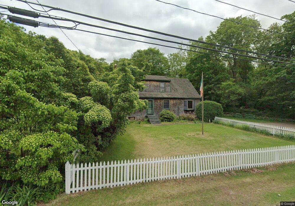
282 Route 164 Preston, CT 06365
Estimated Value: $358,259 - $490,000
3
Beds
2
Baths
1,944
Sq Ft
$221/Sq Ft
Est. Value
About This Home
This home is located at 282 Route 164, Preston, CT 06365 and is currently estimated at $429,565, approximately $220 per square foot. 282 Route 164 is a home located in New London County.
Ownership History
Date
Name
Owned For
Owner Type
Purchase Details
Closed on
Jan 3, 2017
Sold by
Oconnor Daniel G
Bought by
Oconnor Daniel G and Oconnor Heather A
Current Estimated Value
Purchase Details
Closed on
Jan 15, 1993
Sold by
Courville Patrick and Courville Dawn
Bought by
Oconnor Daniel G
Home Financials for this Owner
Home Financials are based on the most recent Mortgage that was taken out on this home.
Original Mortgage
$106,750
Interest Rate
7.5%
Mortgage Type
Unknown
Create a Home Valuation Report for This Property
The Home Valuation Report is an in-depth analysis detailing your home's value as well as a comparison with similar homes in the area
Home Values in the Area
Average Home Value in this Area
Purchase History
| Date | Buyer | Sale Price | Title Company |
|---|---|---|---|
| Oconnor Daniel G | -- | -- | |
| Oconnor Daniel G | $116,000 | -- |
Source: Public Records
Mortgage History
| Date | Status | Borrower | Loan Amount |
|---|---|---|---|
| Previous Owner | Oconnor Daniel G | $70,000 | |
| Previous Owner | Oconnor Daniel G | $100,000 | |
| Previous Owner | Oconnor Daniel G | $96,500 | |
| Previous Owner | Oconnor Daniel G | $106,750 |
Source: Public Records
Tax History Compared to Growth
Tax History
| Year | Tax Paid | Tax Assessment Tax Assessment Total Assessment is a certain percentage of the fair market value that is determined by local assessors to be the total taxable value of land and additions on the property. | Land | Improvement |
|---|---|---|---|---|
| 2025 | $4,716 | $187,810 | $46,340 | $141,470 |
| 2024 | $4,389 | $187,810 | $46,340 | $141,470 |
| 2023 | $4,310 | $187,810 | $46,340 | $141,470 |
| 2022 | $3,485 | $125,000 | $37,900 | $87,100 |
| 2021 | $3,368 | $125,000 | $37,900 | $87,100 |
| 2020 | $3,363 | $125,000 | $37,900 | $87,100 |
| 2019 | $3,304 | $125,000 | $37,900 | $87,100 |
| 2018 | $3,254 | $125,000 | $37,900 | $87,100 |
| 2017 | $3,077 | $128,200 | $39,100 | $89,100 |
| 2016 | $3,045 | $128,200 | $39,100 | $89,100 |
Source: Public Records
Map
Nearby Homes
- 57 NW Corner Rd
- 381 Route 164
- 55A Anna Farm Rd W
- 42 Pierce Rd
- 6 Stanton Ln
- 23A Tanglewood Dr
- 6 Lake of Isles Rd
- 39 Doolittle Rd
- 381 Route 2
- 0 Lake of Isles Rd Unit 170371521
- 4 Wilderness Acres
- 5 Mattern Rd
- 34 Button Rd
- 63 Route 165
- 59 Long Society Rd
- 79 Crary Rd
- 146 Route 2
- 45 Old Norwich Rd
- 17 Daniel St
- 179 Brewster Rd