282 Spencer Cir Forest Hill, MD 21050
Estimated Value: $297,000 - $382,000
Studio
3
Baths
1,532
Sq Ft
$227/Sq Ft
Est. Value
About This Home
This home is located at 282 Spencer Cir, Forest Hill, MD 21050 and is currently estimated at $348,128, approximately $227 per square foot. 282 Spencer Cir is a home located in Harford County with nearby schools including Forest Hill Elementary School, Bel Air Middle School, and Bel Air High School.
Ownership History
Date
Name
Owned For
Owner Type
Purchase Details
Closed on
Jul 9, 2018
Sold by
Levin Sharon L
Bought by
Levin Sharon L and Crist Laura Ann
Current Estimated Value
Purchase Details
Closed on
May 21, 1997
Sold by
Levin Richard C
Bought by
Levin Sharon L
Purchase Details
Closed on
Apr 21, 1995
Sold by
Stephen Homes Inc
Bought by
Levin Richard C
Home Financials for this Owner
Home Financials are based on the most recent Mortgage that was taken out on this home.
Original Mortgage
$82,000
Interest Rate
8.55%
Create a Home Valuation Report for This Property
The Home Valuation Report is an in-depth analysis detailing your home's value as well as a comparison with similar homes in the area
Home Values in the Area
Average Home Value in this Area
Purchase History
| Date | Buyer | Sale Price | Title Company |
|---|---|---|---|
| Levin Sharon L | -- | None Available | |
| Levin Sharon L | -- | -- | |
| Levin Richard C | $126,360 | -- |
Source: Public Records
Mortgage History
| Date | Status | Borrower | Loan Amount |
|---|---|---|---|
| Previous Owner | Levin Richard C | $82,000 | |
| Closed | Levin Sharon L | -- |
Source: Public Records
Tax History
| Year | Tax Paid | Tax Assessment Tax Assessment Total Assessment is a certain percentage of the fair market value that is determined by local assessors to be the total taxable value of land and additions on the property. | Land | Improvement |
|---|---|---|---|---|
| 2025 | $2,961 | $285,800 | $72,000 | $213,800 |
| 2024 | $2,961 | $272,633 | $0 | $0 |
| 2023 | $2,820 | $259,467 | $0 | $0 |
| 2022 | $2,684 | $246,300 | $72,000 | $174,300 |
| 2021 | $2,710 | $240,567 | $0 | $0 |
| 2020 | $2,710 | $234,833 | $0 | $0 |
| 2019 | $2,644 | $229,100 | $65,000 | $164,100 |
| 2018 | $2,582 | $225,767 | $0 | $0 |
| 2017 | $2,544 | $229,100 | $0 | $0 |
| 2016 | $140 | $219,100 | $0 | $0 |
| 2015 | $2,403 | $212,033 | $0 | $0 |
| 2014 | $2,403 | $204,967 | $0 | $0 |
Source: Public Records
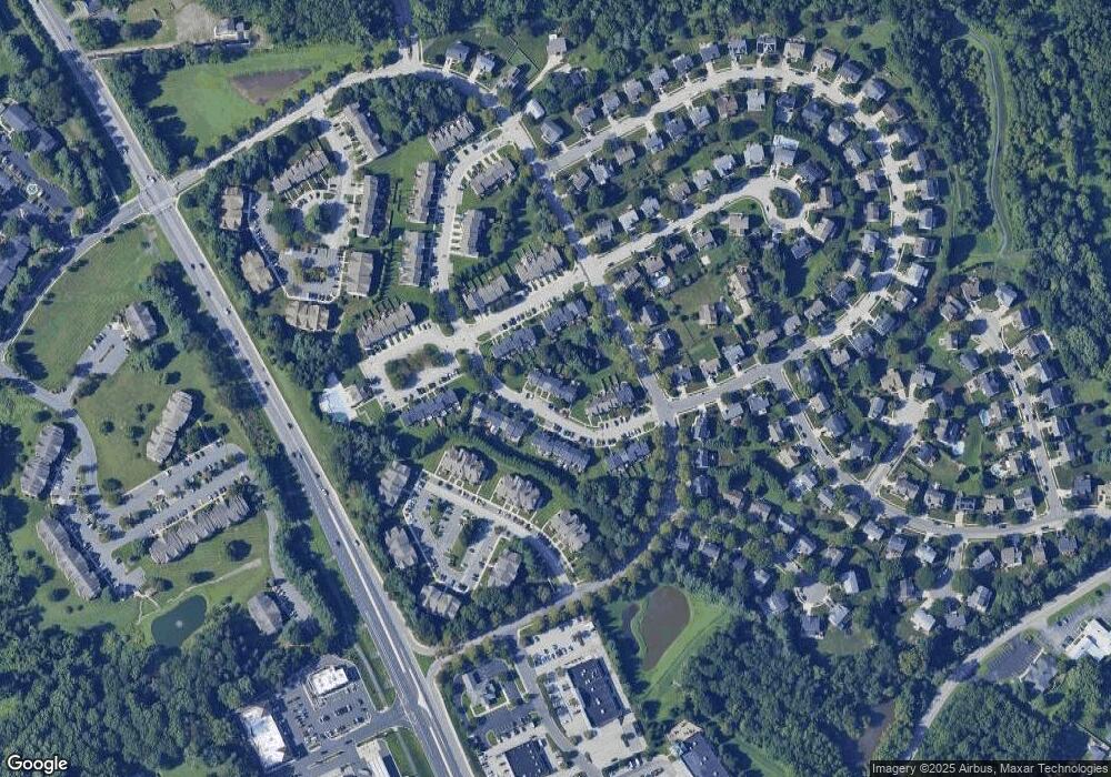
Map
Nearby Homes
- 205 Kimary Ct Unit H
- 137 Spencer Cir
- 206 Kimary Ct Unit 1B
- 314 Streett Cir
- 202 Kimary Ct Unit 1A
- 1721 Chrisemmett Ct Unit 3A
- 107 J Sunshine Ct
- 111 Sunshine Ct Unit A
- 138 Paden Ct
- 16 Wagner Way
- 203 Reba Ct
- 1809 Beth Bridge Cir
- 109 Marshall Dr
- 1605 Samantha Dr
- 311 Willrich Cir Unit G
- 1615 Samantha Dr
- 2013 Columbine Ln
- 313 Willrich Cir Unit E
- 305 Esther Dr
- 310 Willrich Cir
- 284 Spencer Cir
- 280 Spencer Cir
- 278 Spencer Cir
- 286 Spencer Cir
- 276 Spencer Cir
- 288 Spencer Cir
- 290 Spencer Cir
- 292 Spencer Cir
- 287 Cherry Tree Square
- 285 Cherry Tree Square
- 289 Cherry Tree Square
- 283 Cherry Tree Square
- 294 Spencer Cir
- 291 Cherry Tree Square
- 281 Cherry Tree Square
- 293 Cherry Tree Square
- 279 Cherry Tree Square
- 296 Spencer Cir
- 295 Cherry Tree Square
- 277 Cherry Tree Square
Your Personal Tour Guide
Ask me questions while you tour the home.