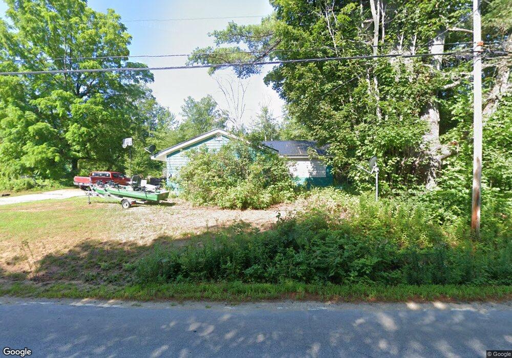
282 Stow Rd Stow, ME 04037
Estimated Value: $223,582 - $399,000
--
Bed
--
Bath
180
Sq Ft
$1,651/Sq Ft
Est. Value
About This Home
This home is located at 282 Stow Rd, Stow, ME 04037 and is currently estimated at $297,146, approximately $1,650 per square foot. 282 Stow Rd is a home located in Oxford County with nearby schools including New Suncook School, Molly Ockett School, and Molly Ockett Middle School.
Ownership History
Date
Name
Owned For
Owner Type
Purchase Details
Closed on
Oct 4, 2005
Sold by
Knowles Merlin L and Knowles Cheryl L
Bought by
Wilson Clifford and Wilson Bethany
Current Estimated Value
Home Financials for this Owner
Home Financials are based on the most recent Mortgage that was taken out on this home.
Original Mortgage
$140,000
Outstanding Balance
$75,312
Interest Rate
5.84%
Mortgage Type
Purchase Money Mortgage
Estimated Equity
$221,834
Create a Home Valuation Report for This Property
The Home Valuation Report is an in-depth analysis detailing your home's value as well as a comparison with similar homes in the area
Home Values in the Area
Average Home Value in this Area
Purchase History
| Date | Buyer | Sale Price | Title Company |
|---|---|---|---|
| Wilson Clifford | -- | -- |
Source: Public Records
Mortgage History
| Date | Status | Borrower | Loan Amount |
|---|---|---|---|
| Open | Wilson Clifford | $140,000 |
Source: Public Records
Tax History Compared to Growth
Tax History
| Year | Tax Paid | Tax Assessment Tax Assessment Total Assessment is a certain percentage of the fair market value that is determined by local assessors to be the total taxable value of land and additions on the property. | Land | Improvement |
|---|---|---|---|---|
| 2024 | $2,444 | $154,171 | $47,250 | $106,921 |
| 2023 | $2,313 | $154,171 | $47,250 | $106,921 |
| 2022 | $2,151 | $154,171 | $47,250 | $106,921 |
| 2021 | $2,058 | $154,171 | $47,250 | $106,921 |
| 2020 | $2,300 | $152,312 | $34,600 | $117,712 |
| 2019 | $2,254 | $152,312 | $34,600 | $117,712 |
| 2018 | $0 | $152,312 | $34,600 | $117,712 |
| 2017 | $1,851 | $152,312 | $34,600 | $117,712 |
| 2016 | $1,774 | $152,312 | $34,600 | $117,712 |
| 2015 | $1,721 | $152,312 | $34,600 | $117,712 |
| 2013 | $1,759 | $152,312 | $34,600 | $117,712 |
Source: Public Records
Map
Nearby Homes
- 172 N Fryeburg Rd
- 337 Union Hill Rd
- 23 Union Hill Rd
- 0 Union Hill Rd Unit 23
- 94 Province Brook Estates Rd
- 145 Mcneil Rd
- 41 Federal Rd
- 7 Raven Ln
- 21-8 Raven Ln
- 179 Conifer Rd
- 92 Boot Hill Rd
- Lot 54-2 Jack Rabbit Run
- 145 Pleasant Point Rd
- 149 Pleasant Point Rd
- 82 Pleasant Point Rd
- 247 Main St
- 231 Main St
- Lot 25 W Fryeburg Rd
- 247 Smarts Hill Rd
- Lot B Mine Rd