282 Tree Line Dr Walnut Shade, MO 65771
Estimated Value: $338,208 - $631,000
Studio
--
Bath
2,342
Sq Ft
$210/Sq Ft
Est. Value
About This Home
This home is located at 282 Tree Line Dr, Walnut Shade, MO 65771 and is currently estimated at $492,069, approximately $210 per square foot. 282 Tree Line Dr is a home located in Taney County with nearby schools including Buchanan Intermediate School, Buchanan Elementary School, and Branson Junior High School.
Ownership History
Date
Name
Owned For
Owner Type
Purchase Details
Closed on
Feb 5, 2021
Sold by
Vogt David C and Vogt Abbey N
Bought by
Lundeen David L and Lundeen Staci E
Current Estimated Value
Purchase Details
Closed on
Jun 27, 2013
Sold by
Dolloff Bradley N and Dolloff Deloris E
Bought by
Lundeen David L and Lundeen Staci E
Home Financials for this Owner
Home Financials are based on the most recent Mortgage that was taken out on this home.
Original Mortgage
$169,000
Interest Rate
3.54%
Mortgage Type
New Conventional
Purchase Details
Closed on
Jul 6, 2005
Sold by
Honeycutt Steve R and Honeycutt Sallie S
Bought by
Dolloff Bradley N and Dolloff Deloris E
Home Financials for this Owner
Home Financials are based on the most recent Mortgage that was taken out on this home.
Original Mortgage
$215,000
Interest Rate
5.63%
Mortgage Type
Purchase Money Mortgage
Create a Home Valuation Report for This Property
The Home Valuation Report is an in-depth analysis detailing your home's value as well as a comparison with similar homes in the area
Purchase History
| Date | Buyer | Sale Price | Title Company |
|---|---|---|---|
| Lundeen David L | -- | None Available | |
| Lundeen David L | -- | None Available | |
| Dolloff Bradley N | -- | -- |
Source: Public Records
Mortgage History
| Date | Status | Borrower | Loan Amount |
|---|---|---|---|
| Previous Owner | Lundeen David L | $169,000 | |
| Previous Owner | Dolloff Bradley N | $215,000 |
Source: Public Records
Tax History
| Year | Tax Paid | Tax Assessment Tax Assessment Total Assessment is a certain percentage of the fair market value that is determined by local assessors to be the total taxable value of land and additions on the property. | Land | Improvement |
|---|---|---|---|---|
| 2025 | $1,829 | $32,020 | -- | -- |
| 2023 | $1,829 | $35,250 | $0 | $0 |
| 2022 | $1,777 | $35,250 | $0 | $0 |
| 2021 | $1,768 | $35,250 | $0 | $0 |
| 2019 | $1,639 | $31,860 | $0 | $0 |
| 2018 | $1,642 | $31,870 | $0 | $0 |
| 2017 | $1,626 | $31,870 | $0 | $0 |
| 2016 | $1,623 | $31,870 | $0 | $0 |
| 2015 | $1,609 | $31,870 | $0 | $0 |
| 2014 | $1,161 | $24,230 | $0 | $0 |
Source: Public Records
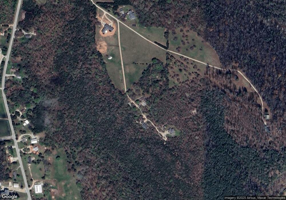
Map
Nearby Homes
- 7565 State Highway 176
- 6659 State Highway 176
- 000 US Highway 160
- 2163 Round Mountain Rd
- 6495 US Highway 160
- 6041 Highway 65
- 270 Craig Rd
- Tbd Hwy 160
- 7764 U S 160
- Tbd Wolf Rd
- 374 N Emory Creek Rd
- 434 N Emory Creek Rd
- 000 Newport
- 000 Wolf
- 3003 Bluebird Rd
- 000 (Tbd) Mockingbird Rd Unit Lots 3 & 4
- Lot 69&70 Bluebird Rd
- Lot 39 Driftwood Rd
- 3057 Driftwood Rd
- 3200 Driftwood Rd
- 7750 State Highway 176
- 295 Tree Line Dr
- 7830 State Highway 176
- 185 Tree Line Dr
- 311 Tree Line Dr
- 7954 State Highway 176
- 8044 Missouri 176
- 8044 State Highway 176
- 8113 State Highway 176
- 7644 State Highway 176
- 10323 State Highway 176
- 7911 State Highway 176
- 7697 State Highway 176
- 7995 State Highway 176
- 8180 State Highway 176
- 8045 State Highway 176
- 8184 State Highway 176
- 8186 Mo-176
- 175 Bilyeu
- 8184 Mo-176
Your Personal Tour Guide
Ask me questions while you tour the home.