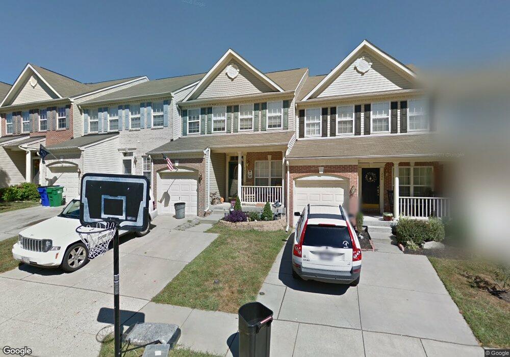
282 Trudy Ct Forest Hill, MD 21050
Estimated Value: $386,318 - $458,000
Studio
3
Baths
2,014
Sq Ft
$207/Sq Ft
Est. Value
About This Home
This home is located at 282 Trudy Ct, Forest Hill, MD 21050 and is currently estimated at $417,580, approximately $207 per square foot. 282 Trudy Ct is a home located in Harford County with nearby schools including Forest Hill Elementary School, Bel Air Middle School, and Bel Air High School.
Ownership History
Date
Name
Owned For
Owner Type
Purchase Details
Closed on
Aug 20, 2025
Sold by
Hall Margaret A and Hall William R
Bought by
Hall Margaret A and Hall William R
Current Estimated Value
Purchase Details
Closed on
May 17, 2004
Sold by
Rhodes Margaret A
Bought by
Hall Margaret A and Hall William R
Purchase Details
Closed on
May 13, 2002
Sold by
Spenceola/Bellevue Llc
Bought by
Rhodes Margaret A
Create a Home Valuation Report for This Property
The Home Valuation Report is an in-depth analysis detailing your home's value as well as a comparison with similar homes in the area
Home Values in the Area
Average Home Value in this Area
Purchase History
| Date | Buyer | Sale Price | Title Company |
|---|---|---|---|
| Hall Margaret A | -- | None Listed On Document | |
| Hall Margaret A | -- | -- | |
| Rhodes Margaret A | $184,405 | -- |
Source: Public Records
Mortgage History
| Date | Status | Borrower | Loan Amount |
|---|---|---|---|
| Closed | Rhodes Margaret A | -- |
Source: Public Records
Tax History Compared to Growth
Tax History
| Year | Tax Paid | Tax Assessment Tax Assessment Total Assessment is a certain percentage of the fair market value that is determined by local assessors to be the total taxable value of land and additions on the property. | Land | Improvement |
|---|---|---|---|---|
| 2025 | $3,191 | $305,500 | $72,000 | $233,500 |
| 2024 | $32 | $292,733 | $0 | $0 |
| 2023 | $3,051 | $279,967 | $0 | $0 |
| 2022 | $2,912 | $267,200 | $72,000 | $195,200 |
| 2021 | $3,002 | $263,667 | $0 | $0 |
| 2020 | $3,002 | $260,133 | $0 | $0 |
| 2019 | $2,961 | $256,600 | $65,000 | $191,600 |
| 2018 | $2,905 | $254,033 | $0 | $0 |
| 2017 | $2,876 | $256,600 | $0 | $0 |
| 2016 | $140 | $248,900 | $0 | $0 |
| 2015 | $2,928 | $247,200 | $0 | $0 |
| 2014 | $2,928 | $245,500 | $0 | $0 |
Source: Public Records
Map
Nearby Homes
- 2026 Mardic Dr
- 1986 Esther Ct
- 311 Willrich Cir Unit G
- 310 Willrich Cir
- 1817 Rock Spring Rd
- 307 Duffy Ct
- 332 Ponfield Rd E
- 317 Ponfield Rd W
- 137 Spencer Cir
- 1702 Rich Way Unit 2C
- 318 Streett Cir
- 103 Sunshine Ct Unit C
- 206 Kimary Ct Unit 2B
- 105 Sunshine Ct Unit G
- 112 Gwen Dr Unit 1K
- 112 Gwen Dr Unit 1J
- 1712 Landmark Dr Unit F
- 111 Sunshine Ct Unit A
- 1405 Kahoe Rd
- 1615 Samantha Dr