2820 Bond Dr Unit 23C Austin, TX 78741
Parker Lane NeighborhoodEstimated Value: $305,883 - $382,000
Studio
3
Baths
1,305
Sq Ft
$254/Sq Ft
Est. Value
About This Home
This home is located at 2820 Bond Dr Unit 23C, Austin, TX 78741 and is currently estimated at $331,294, approximately $253 per square foot. 2820 Bond Dr Unit 23C is a home located in Travis County with nearby schools including Linder Elementary School, Harmony School of Innovation - Austin, and Harmony School of Excellence - Austin.
Ownership History
Date
Name
Owned For
Owner Type
Purchase Details
Closed on
Jun 6, 2008
Sold by
Newmark Homes Lp
Bought by
Mingrone Thomas F and Buckley James J
Current Estimated Value
Home Financials for this Owner
Home Financials are based on the most recent Mortgage that was taken out on this home.
Original Mortgage
$198,697
Outstanding Balance
$127,633
Interest Rate
6.07%
Mortgage Type
Purchase Money Mortgage
Estimated Equity
$203,661
Purchase Details
Closed on
Apr 25, 2008
Sold by
Newmark Homes Lp
Bought by
Flores Dina V
Home Financials for this Owner
Home Financials are based on the most recent Mortgage that was taken out on this home.
Original Mortgage
$198,697
Outstanding Balance
$127,633
Interest Rate
6.07%
Mortgage Type
Purchase Money Mortgage
Estimated Equity
$203,661
Create a Home Valuation Report for This Property
The Home Valuation Report is an in-depth analysis detailing your home's value as well as a comparison with similar homes in the area
Home Values in the Area
Average Home Value in this Area
Purchase History
| Date | Buyer | Sale Price | Title Company |
|---|---|---|---|
| Mingrone Thomas F | -- | Universal Land Title Of Tx | |
| Flores Dina V | -- | Universal Land Title Of Tx |
Source: Public Records
Mortgage History
| Date | Status | Borrower | Loan Amount |
|---|---|---|---|
| Open | Mingrone Thomas F | $198,697 | |
| Previous Owner | Flores Dina V | $177,219 |
Source: Public Records
Tax History
| Year | Tax Paid | Tax Assessment Tax Assessment Total Assessment is a certain percentage of the fair market value that is determined by local assessors to be the total taxable value of land and additions on the property. | Land | Improvement |
|---|---|---|---|---|
| 2025 | $4,432 | $311,048 | $30,213 | $280,835 |
| 2023 | $5,531 | $390,202 | $0 | $0 |
| 2022 | $7,006 | $354,729 | $0 | $0 |
| 2021 | $7,019 | $322,481 | $18,883 | $303,598 |
| 2020 | $6,328 | $295,013 | $18,883 | $276,130 |
| 2018 | $6,561 | $296,365 | $18,883 | $279,305 |
| 2017 | $6,009 | $269,423 | $5,924 | $272,349 |
| 2016 | $5,462 | $244,930 | $18,883 | $250,373 |
| 2015 | $4,541 | $222,664 | $19,079 | $203,585 |
| 2014 | $4,541 | $208,949 | $19,079 | $189,870 |
Source: Public Records
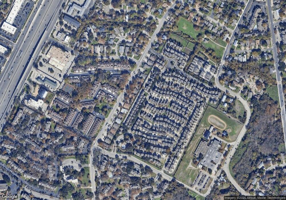
Map
Nearby Homes
- 1916 Tramson Dr Unit 98C
- 1925 Teagle Dr Unit 234C
- 2905 Saville Loop Unit 13C
- 2020 Tripshaw Ln Unit 65C
- 1720 Timber Ridge Dr
- 2624 Metcalfe Rd Unit 2
- 2624 Metcalfe Rd Unit 17
- 1740 Timber Ridge Rd Unit 132
- 1730 Timber Ridge Rd Unit 152
- 2001 Iroquois Ln
- 2829 Metcalfe Rd
- 2823 Metcalfe Rd
- 2821 Metcalfe Rd
- 2819 Metcalfe Rd
- 2825 Metcalfe Rd
- 2817 Metcalfe Rd
- 2827 Metcalfe Rd
- 2813 Metcalfe Rd
- 1712 Alleghany Dr
- 2009 Iroquois Ln
- 2828 Bond Dr Unit 19C
- 2825 Saville Loop Unit 18C
- 2825 Saville Loop
- 2832 Bond Dr Unit 16C
- 2829 Saville Loop Unit 17C
- 2821 Saville Loop Unit 21C
- 2817 Saville Loop Unit 22C
- 1901 Cleese Dr
- 2813 Saville Loop Unit 25C
- 2816 Bond Dr Unit 24C
- 2900 Bond Dr Unit 15C
- 2901 Saville Loop Unit 14C
- 2811 Parker Ln
- 2904 Bond Dr Unit 12C
- 2813 Parker Ln Unit D
- 2813 Parker Ln
- 2813 Parker Ln Unit C
- 2813 Parker Ln Unit B
- 1909 Cleese Dr Unit 198C
- 2809 Parker Ln Unit B
Your Personal Tour Guide
Ask me questions while you tour the home.