2820 Cole Cir Villa Ridge, MO 63089
Estimated Value: $262,158 - $310,000
3
Beds
1
Bath
1,566
Sq Ft
$178/Sq Ft
Est. Value
About This Home
This home is located at 2820 Cole Cir, Villa Ridge, MO 63089 and is currently estimated at $278,540, approximately $177 per square foot. 2820 Cole Cir is a home located in Franklin County with nearby schools including Pacific High School and Crosspoint Christian School.
Ownership History
Date
Name
Owned For
Owner Type
Purchase Details
Closed on
Mar 4, 2025
Sold by
Monnig Heather
Bought by
Heather R Monnig Revocable Living Trust and Monnig
Current Estimated Value
Purchase Details
Closed on
Aug 22, 2016
Sold by
Heath Monnig Ellen B and Monnig Joseph E
Bought by
Monnig Joseph E and Heath Monnig Ellen B
Home Financials for this Owner
Home Financials are based on the most recent Mortgage that was taken out on this home.
Original Mortgage
$167,500
Interest Rate
3.45%
Mortgage Type
New Conventional
Create a Home Valuation Report for This Property
The Home Valuation Report is an in-depth analysis detailing your home's value as well as a comparison with similar homes in the area
Home Values in the Area
Average Home Value in this Area
Purchase History
| Date | Buyer | Sale Price | Title Company |
|---|---|---|---|
| Heather R Monnig Revocable Living Trust | -- | None Listed On Document | |
| Monnig Heather R | -- | None Listed On Document | |
| Monnig Joseph E | -- | -- |
Source: Public Records
Mortgage History
| Date | Status | Borrower | Loan Amount |
|---|---|---|---|
| Previous Owner | Monnig Joseph E | $167,500 |
Source: Public Records
Tax History Compared to Growth
Tax History
| Year | Tax Paid | Tax Assessment Tax Assessment Total Assessment is a certain percentage of the fair market value that is determined by local assessors to be the total taxable value of land and additions on the property. | Land | Improvement |
|---|---|---|---|---|
| 2024 | $2,460 | $29,313 | $0 | $0 |
| 2023 | $2,179 | $29,313 | $0 | $0 |
| 2022 | $2,053 | $31,736 | $0 | $0 |
| 2021 | $2,069 | $31,736 | $0 | $0 |
| 2020 | $1,925 | $28,221 | $0 | $0 |
| 2019 | $1,923 | $28,221 | $0 | $0 |
| 2018 | $1,778 | $25,679 | $0 | $0 |
| 2017 | $1,773 | $25,679 | $0 | $0 |
| 2016 | $475 | $6,832 | $0 | $0 |
| 2015 | $59 | $924 | $0 | $0 |
| 2014 | $58 | $924 | $0 | $0 |
Source: Public Records
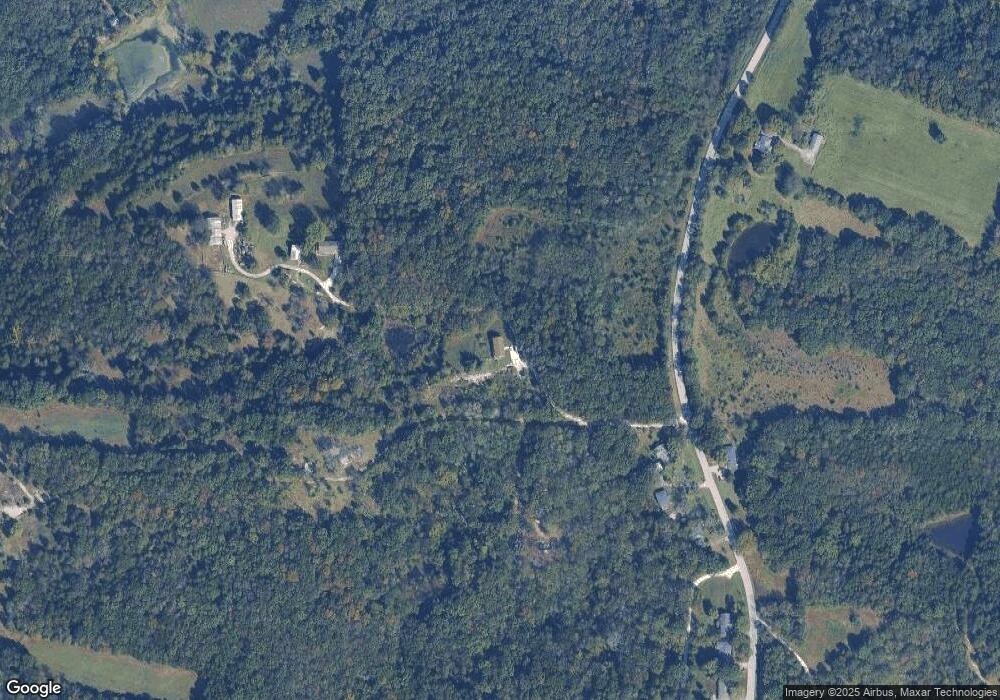
Map
Nearby Homes
- 68 Lyrics Ln
- 147 Coventry Valley Rd
- 202 Remington Rd
- 874 Rocky Trail Rd
- 114 Wheel Estate
- 238 Coleena Ct
- 732 American Inn Rd
- 0 Rocky Trail Rd
- 0 Clay Stone Dr
- 727 Hickory Trail Rd
- 0 Hwy at Unit 23020913
- 618 Carolee Ct
- 0 American Inn Rd Unit MIS25045539
- 16 York Ln
- 156 Old Highway O
- 575 E Villa Ridge Rd
- 000 Shawneetown Ford Spur Lot 4
- 297 Vistaview Dr
- 940 Osage Villa Ct
- 913 Osage Villa Ct
- 2837 Cole Cir
- 700 Winston Bridge Estate
- 2823 Cole Cir
- 2894 Cole Cir
- 889 Saint Marys Rd
- 881 Saint Marys Rd
- 888 Saint Marys Rd
- 897 Saint Marys Rd
- 806 Saint Marys Rd
- 915 Saint Marys Rd
- 3085 Mary Anna Ln
- 921 Saint Marys Rd
- 933 Saint Marys Rd
- 3086 Mary Anna Ln Unit ANNA
- 3084 Mary Anna Ln
- 3030 Mary Anna Ln
- 3048 Mary Anna Ln
- 3066 Mary Anna Ln
- 3098 Mary Anna Ln
- 3098 Mary Anna Ln