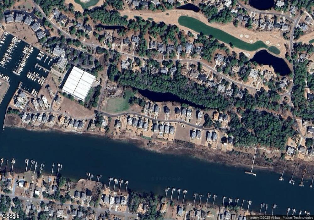
2820 Harborside Way Unit L19 Southport, NC 28461
Estimated Value: $920,632 - $998,000
3
Beds
4
Baths
2,901
Sq Ft
$325/Sq Ft
Est. Value
About This Home
This home is located at 2820 Harborside Way Unit L19, Southport, NC 28461 and is currently estimated at $944,158, approximately $325 per square foot. 2820 Harborside Way Unit L19 is a home located in Brunswick County with nearby schools including Virginia Williamson Elementary School, South Brunswick Middle School, and South Brunswick High School.
Ownership History
Date
Name
Owned For
Owner Type
Purchase Details
Closed on
Aug 6, 2025
Sold by
Mlynek Gary J and Ettl Christine E
Bought by
Harton Brian Scott and Harton Trudeanna Curran
Current Estimated Value
Home Financials for this Owner
Home Financials are based on the most recent Mortgage that was taken out on this home.
Original Mortgage
$806,000
Outstanding Balance
$805,309
Interest Rate
6.77%
Mortgage Type
New Conventional
Estimated Equity
$138,849
Purchase Details
Closed on
Jan 25, 2018
Sold by
Eubank Hugh E and Eubank Merle Ballou
Bought by
Miynek Gary J and Ettl Christine E
Purchase Details
Closed on
Mar 14, 2011
Sold by
Eubank Hugh E and Eubank Merle B
Bought by
Eubank Hugh E and Eubank Merle Ballou
Purchase Details
Closed on
Nov 18, 2010
Sold by
Marker Thomas and Marker Barbara
Bought by
Eubank Hugh E and Eubank Merle B
Create a Home Valuation Report for This Property
The Home Valuation Report is an in-depth analysis detailing your home's value as well as a comparison with similar homes in the area
Home Values in the Area
Average Home Value in this Area
Purchase History
| Date | Buyer | Sale Price | Title Company |
|---|---|---|---|
| Harton Brian Scott | $925,000 | None Listed On Document | |
| Harton Brian Scott | $925,000 | None Listed On Document | |
| Miynek Gary J | $499,000 | None Available | |
| Eubank Hugh E | -- | None Available | |
| Eubank Hugh E | $556,000 | None Available |
Source: Public Records
Mortgage History
| Date | Status | Borrower | Loan Amount |
|---|---|---|---|
| Open | Harton Brian Scott | $806,000 | |
| Closed | Harton Brian Scott | $806,000 |
Source: Public Records
Tax History Compared to Growth
Tax History
| Year | Tax Paid | Tax Assessment Tax Assessment Total Assessment is a certain percentage of the fair market value that is determined by local assessors to be the total taxable value of land and additions on the property. | Land | Improvement |
|---|---|---|---|---|
| 2025 | -- | $827,210 | $175,000 | $652,210 |
| 2024 | $0 | $827,210 | $175,000 | $652,210 |
| 2023 | $2,847 | $815,690 | $175,000 | $640,690 |
| 2022 | $0 | $522,620 | $93,000 | $429,620 |
| 2021 | $0 | $522,620 | $93,000 | $429,620 |
| 2020 | $2,617 | $522,620 | $93,000 | $429,620 |
| 2019 | $2,847 | $95,990 | $93,000 | $2,990 |
| 2018 | $2,617 | $113,610 | $110,000 | $3,610 |
| 2017 | $2,617 | $113,610 | $110,000 | $3,610 |
| 2016 | $2,617 | $113,610 | $110,000 | $3,610 |
| 2015 | $2,619 | $489,450 | $110,000 | $379,450 |
| 2014 | $2,462 | $499,890 | $200,000 | $299,890 |
Source: Public Records
Map
Nearby Homes
- 2836 Harborside Way
- 2625 Saint James Dr SE
- 2860 Harborside Way
- 3706 E Yacht Dr
- 3608 E Yacht Dr
- 2571 St James Dr
- 2571 St James Dr Unit C29
- 2571 St James Dr Unit B-44
- 2571 St James Dr Unit C43
- 2571 St James Dr Unit C23
- 2571 St James Dr Unit D26
- 2571 St James Dr Unit B-42
- 2571 St James Dr Unit D-19
- 2571 St James Dr Unit D42
- 2571 Saint James Dr Unit F6
- 2571 St James Dr Unit C-33
- 2571 St James Dr Unit G7 (Wet Slip)
- 2571 St James Dr Unit D1 (Wetslip)
- 2571 St James Dr Unit 305
- 2741 Juneberry Ln SE
- 2820 Harborside Way Se #19 Way
- 2812 Harborside Way
- 2824 Harborside Way
- 2783 Harborside Way
- 2803 Harborside Way
- 2854 Harborside Way
- 2816 Harborside Way
- 2822 Harborside Way
- 2829 Harborside Way
- 2833 Harborside Way
- 2835 Harborside Way
- 2839 Harborside Way
- 2795 Harborside Way
- 2843 Harborside Way
- 2830 Harborside Way
- 2804 Harborside Way
- 2844 Harborside Way
- 2826 Harborside Way
- 2808 Harborside Way
- 2828 Harborside Way
