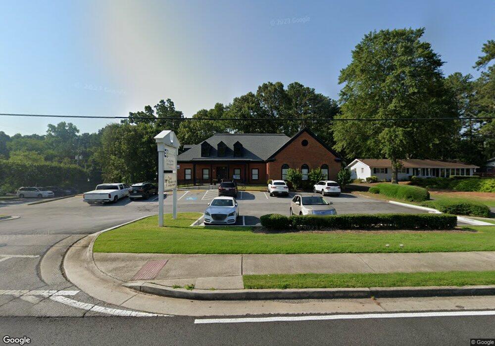
2820 Main St W Snellville, GA 30078
Estimated Value: $891,380
--
Bed
--
Bath
8,496
Sq Ft
$105/Sq Ft
Est. Value
About This Home
This home is located at 2820 Main St W, Snellville, GA 30078 and is currently estimated at $891,380, approximately $104 per square foot. 2820 Main St W is a home located in Gwinnett County with nearby schools including Britt Elementary School, Snellville Middle School, and South Gwinnett High School.
Ownership History
Date
Name
Owned For
Owner Type
Purchase Details
Closed on
Aug 5, 2020
Sold by
Berner Real Estate Investments Llc
Bought by
C & L Mines Llc
Current Estimated Value
Home Financials for this Owner
Home Financials are based on the most recent Mortgage that was taken out on this home.
Original Mortgage
$490,500
Outstanding Balance
$231,543
Interest Rate
3%
Mortgage Type
Commercial
Estimated Equity
$659,837
Purchase Details
Closed on
Apr 1, 2016
Sold by
Coldwell Banker Residential Real Estate
Bought by
Berner Real Estate Investments Llc
Create a Home Valuation Report for This Property
The Home Valuation Report is an in-depth analysis detailing your home's value as well as a comparison with similar homes in the area
Home Values in the Area
Average Home Value in this Area
Purchase History
| Date | Buyer | Sale Price | Title Company |
|---|---|---|---|
| C & L Mines Llc | $545,000 | -- | |
| Berner Real Estate Investments Llc | $445,000 | -- |
Source: Public Records
Mortgage History
| Date | Status | Borrower | Loan Amount |
|---|---|---|---|
| Open | C & L Mines Llc | $490,500 |
Source: Public Records
Tax History Compared to Growth
Tax History
| Year | Tax Paid | Tax Assessment Tax Assessment Total Assessment is a certain percentage of the fair market value that is determined by local assessors to be the total taxable value of land and additions on the property. | Land | Improvement |
|---|---|---|---|---|
| 2025 | $18,072 | $493,760 | $87,800 | $405,960 |
| 2024 | $17,378 | $469,680 | $87,800 | $381,880 |
| 2023 | $17,378 | $283,880 | $60,200 | $223,680 |
| 2022 | $8,251 | $222,400 | $87,800 | $134,600 |
| 2021 | $8,240 | $218,000 | $100,360 | $117,640 |
| 2020 | $11,136 | $254,880 | $100,360 | $154,520 |
| 2019 | $9,486 | $254,880 | $100,360 | $154,520 |
| 2018 | $11,151 | $254,880 | $100,360 | $154,520 |
| 2016 | $8,970 | $204,000 | $100,360 | $103,640 |
| 2015 | $11,709 | $267,480 | $100,360 | $167,120 |
| 2014 | $11,777 | $267,480 | $100,360 | $167,120 |
Source: Public Records
Map
Nearby Homes
- 0 Cambridge St Unit 7681233
- 2292 Cambridge St
- 2329 Valley Way
- 2312 Westridge Dr
- 2729 Lanier Dr
- 2067 Crescent Dr SW
- 2429 Scenic Hwy S
- 2699 Greenbelt Rd
- 2141 Slick Stone Dr
- 2845 Long Shadow Ct
- 2101 Bankston Cir
- 2103 Forest Ct
- 2529 Britt Rd
- 1937 Crescent Dr
- 2625 Beverly Ln SW
- 1916 Oakwood Grove Dr Unit 1
- 3075 Oak Meadow Dr
- 2430 Bankston Cir
- 2249 Valley Dr
- 2844 Middlesex Ct
- 2259 Valley Dr
- 2860 Main St W
- 2181 Valley Dr
- 2843 Middlesex Ct
- 2795 U S 78
- 2269 Valley Dr
- 2870 Main St W
- 2870 Main St W Unit 21E
- 2842 Middlesex Ct
- 0 Middlesex Ct SW Unit 7592190
- 0 Middlesex Ct SW
- 2870 W Main St W W Unit 21E
- 2870 W Main Street West St W
- 2841 Middlesex Ct Unit 1
- 2279 Valley Dr
- 2791 Main St W
- 0 Cambridge St Unit 8226998
- 0 Cambridge St Unit 8226980