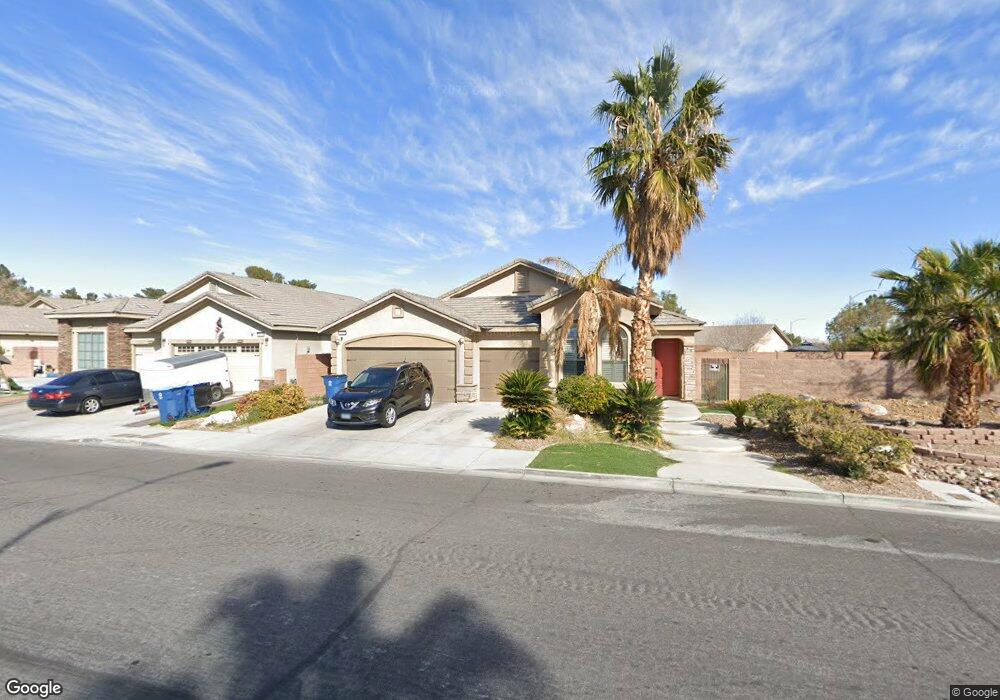
2820 Mustang St Unit none Las Vegas, NV 89108
Michael Way NeighborhoodEstimated Value: $557,755
3
Beds
2
Baths
1,878
Sq Ft
$297/Sq Ft
Est. Value
About This Home
This home is located at 2820 Mustang St Unit none, Las Vegas, NV 89108 and is currently priced at $557,755, approximately $296 per square foot. 2820 Mustang St Unit none is a home located in Clark County with nearby schools including Berkeley L. Bunker Elementary School, Irwin & Susan Molasky Junior High School, and Cimarron Memorial High School.
Ownership History
Date
Name
Owned For
Owner Type
Purchase Details
Closed on
Apr 22, 2024
Sold by
Dunnings Albert W
Bought by
Albert W Dunnings Living Trust and Dunnings
Current Estimated Value
Purchase Details
Closed on
May 19, 2022
Sold by
Tamayo Melinda D and Tamayo Victor A
Bought by
Dunnings Albert W
Home Financials for this Owner
Home Financials are based on the most recent Mortgage that was taken out on this home.
Original Mortgage
$339,000
Interest Rate
4.72%
Mortgage Type
New Conventional
Purchase Details
Closed on
Aug 14, 2006
Sold by
S F Investments Llc
Bought by
Tamayo Victor A and Tamayo Melinda D
Home Financials for this Owner
Home Financials are based on the most recent Mortgage that was taken out on this home.
Original Mortgage
$360,000
Interest Rate
6.76%
Mortgage Type
Unknown
Create a Home Valuation Report for This Property
The Home Valuation Report is an in-depth analysis detailing your home's value as well as a comparison with similar homes in the area
Home Values in the Area
Average Home Value in this Area
Purchase History
| Date | Buyer | Sale Price | Title Company |
|---|---|---|---|
| Albert W Dunnings Living Trust | -- | None Listed On Document | |
| Dunnings Albert W | $539,000 | Noble Title | |
| Tamayo Victor A | $450,000 | Nevada Title Company |
Source: Public Records
Mortgage History
| Date | Status | Borrower | Loan Amount |
|---|---|---|---|
| Previous Owner | Dunnings Albert W | $339,000 | |
| Previous Owner | Tamayo Victor A | $360,000 |
Source: Public Records
Tax History Compared to Growth
Tax History
| Year | Tax Paid | Tax Assessment Tax Assessment Total Assessment is a certain percentage of the fair market value that is determined by local assessors to be the total taxable value of land and additions on the property. | Land | Improvement |
|---|---|---|---|---|
| 2025 | $3,101 | $165,592 | $40,250 | $125,342 |
| 2024 | $3,011 | $165,592 | $40,250 | $125,342 |
| 2023 | $3,011 | $154,824 | $37,450 | $117,374 |
| 2022 | $2,788 | $140,095 | $32,550 | $107,545 |
| 2021 | $2,582 | $128,293 | $26,250 | $102,043 |
| 2020 | $2,395 | $124,745 | $23,800 | $100,945 |
| 2019 | $2,244 | $121,986 | $22,750 | $99,236 |
| 2018 | $2,141 | $117,336 | $21,560 | $95,776 |
| 2017 | $3,211 | $97,948 | $20,405 | $77,543 |
| 2016 | $2,005 | $102,944 | $16,555 | $86,389 |
| 2015 | $2,001 | $64,316 | $13,475 | $50,841 |
| 2014 | $1,938 | $60,066 | $6,545 | $53,521 |
Source: Public Records
Map
Nearby Homes
- 2915 Maverick St
- 6428 Yarmouth Dr
- 6216 Molino St
- 2624 Shakespeare Rd
- 6100 W Brooks Ave
- 2720 Cathedral Ln
- 2879 N Jones Blvd
- 2616 Island Brook Dr
- 6428 Deadwood Rd
- 2624 Cathedral Ln
- 6436 Deadwood Rd
- 2840 Sterling Silver St Unit 3
- 6444 Deadwood Rd
- 2764 Trotwood Ln
- 2512 Charteroak St
- 6516 Deadwood Rd
- 6505 Deadwood Rd
- 6513 Deadwood Rd
- 6561 Avon Ct
- 2429 Charteroak St
- 2820 Mustang St
- 6275 Bunker Commons Ct
- 2832 Mustang St
- 6276 Bunker Commons Ct
- 6263 Bunker Commons Ct
- 2844 Mustang St
- 6300 Sespe St
- 6224 Sespe St Unit 3A
- 6304 Sespe St
- 6264 Bunker Commons Ct
- 6251 Bunker Commons Ct
- 6220 Sespe St
- 6308 Sespe St Unit na
- 6308 Sespe St
- 6252 Bunker Commons Ct
- 6216 Sespe St
- 6312 Sespe St
- 6239 Bunker Commons Ct
- 2860 Mustang St
- 6240 Bunker Commons Ct