Estimated Value: $698,061
--
Bed
--
Bath
7,200
Sq Ft
$97/Sq Ft
Est. Value
About This Home
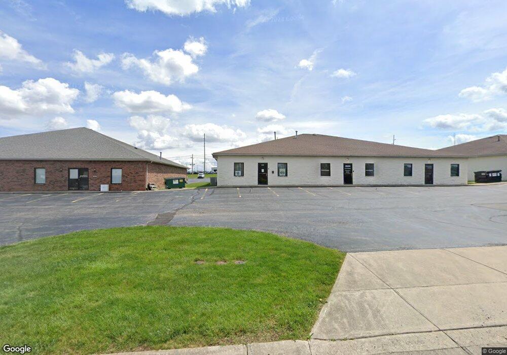
This home is located at 2820 S County Road 25a Unit Rear, Troy, OH 45373 and is currently estimated at $698,061, approximately $96 per square foot. 2820 S County Road 25a Unit Rear is a home located in Miami County with nearby schools including Concord Elementary School, Van Cleve Elementary School, and Troy Junior High School.
Ownership History
Date
Name
Owned For
Owner Type
Purchase Details
Closed on
Nov 13, 2023
Sold by
Wilmington Avenue Investments Llc
Bought by
First Premier Properties Llc
Current Estimated Value
Home Financials for this Owner
Home Financials are based on the most recent Mortgage that was taken out on this home.
Original Mortgage
$580,500
Outstanding Balance
$570,354
Interest Rate
7.49%
Mortgage Type
Construction
Estimated Equity
$127,707
Purchase Details
Closed on
Oct 24, 2018
Sold by
F & G Properties Llc
Bought by
Wilmington Avenue Investments Llc
Home Financials for this Owner
Home Financials are based on the most recent Mortgage that was taken out on this home.
Original Mortgage
$408,000
Interest Rate
4.6%
Mortgage Type
Commercial
Purchase Details
Closed on
Dec 7, 2001
Sold by
Traders Builders Inc
Bought by
F & G Properties Llc
Create a Home Valuation Report for This Property
The Home Valuation Report is an in-depth analysis detailing your home's value as well as a comparison with similar homes in the area
Home Values in the Area
Average Home Value in this Area
Purchase History
| Date | Buyer | Sale Price | Title Company |
|---|---|---|---|
| First Premier Properties Llc | $645,000 | None Listed On Document | |
| Wilmington Avenue Investments Llc | $510,000 | None Available | |
| F & G Properties Llc | $535,000 | -- |
Source: Public Records
Mortgage History
| Date | Status | Borrower | Loan Amount |
|---|---|---|---|
| Open | First Premier Properties Llc | $580,500 | |
| Previous Owner | Wilmington Avenue Investments Llc | $408,000 |
Source: Public Records
Tax History Compared to Growth
Tax History
| Year | Tax Paid | Tax Assessment Tax Assessment Total Assessment is a certain percentage of the fair market value that is determined by local assessors to be the total taxable value of land and additions on the property. | Land | Improvement |
|---|---|---|---|---|
| 2024 | $10,883 | $178,500 | $39,760 | $138,740 |
| 2023 | $10,883 | $178,500 | $39,760 | $138,740 |
| 2022 | $9,905 | $178,500 | $39,760 | $138,740 |
| 2021 | $10,012 | $178,500 | $39,760 | $138,740 |
| 2020 | $9,906 | $178,500 | $39,760 | $138,740 |
| 2019 | $9,929 | $178,500 | $39,760 | $138,740 |
| 2018 | $11,141 | $198,940 | $39,760 | $159,180 |
| 2017 | $11,134 | $198,940 | $39,760 | $159,180 |
| 2016 | $11,080 | $198,940 | $39,760 | $159,180 |
| 2015 | $10,945 | $198,940 | $39,760 | $159,180 |
| 2014 | $10,945 | $198,940 | $39,760 | $159,180 |
| 2013 | $10,928 | $198,940 | $39,760 | $159,180 |
Source: Public Records
Map
Nearby Homes
- 2765 Silver Maple Ct
- 203 Boone Dr
- 445 Wisteria Dr
- 660 Wisteria Dr
- 0 Lincolnshire Unit 939331
- 2065 S Co Road 25a
- 2215 Merrimont Dr
- 1701 Chevington Chase
- 768 Stonehenge Dr
- 1117 Honeydew Dr
- 1216 Wind Rock Ct
- 2015 Merrimont Dr
- Spruce Plan at Summit Landing
- Norway Plan at Summit Landing
- Chestnut Plan at Summit Landing
- Juniper Plan at Summit Landing
- Palmetto Plan at Summit Landing
- Ashton Plan at Summit Landing
- Empress Plan at Summit Landing
- Ironwood Plan at Summit Landing
- 2826 S County Road 25a
- 2830 S County Road 25a
- 2790 S County Road 25a
- 2858 S Co Road 25a
- 0 S Co Road 25a Unit 1011182
- 0 S Co Road 25a Unit 842620
- 0 S Co Road 25a Unit 1003489
- 0 S Co Road 25a Unit 817996
- 0 S Co Road 25a Unit 810312
- 0 S Co Road 25a Unit 1001124
- 0 S Co Road 25a Unit 215871
- 0 S Co Road 25a Unit 216984
- 0 S Co Road 25a Unit 216975
- 0 S Co Road 25a Unit 1637614
- 0 S Co Road 25a
- 2805 S County Road 25a
- 2940 Stone Circle Dr
- 2930 Stone Circle Dr
- 2928 Stone Circle Dr
- 2900 Stone Circle Dr