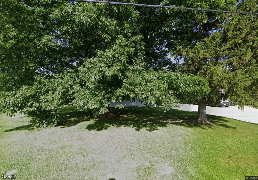
2820 S Twin Bridge Rd Decatur, IL 62521
Estimated Value: $103,000 - $125,000
--
Bed
--
Bath
1,008
Sq Ft
$113/Sq Ft
Est. Value
About This Home
This home is located at 2820 S Twin Bridge Rd, Decatur, IL 62521 and is currently estimated at $113,784, approximately $112 per square foot. 2820 S Twin Bridge Rd is a home located in Macon County with nearby schools including McGaughey Elementary School, Mt. Zion Intermediate School, and Mt. Zion Elementary School.
Ownership History
Date
Name
Owned For
Owner Type
Purchase Details
Closed on
Apr 18, 2005
Sold by
Norman Michael A and Norman Jody L
Bought by
Bailey Ricky J and Bailey Lorasime A
Current Estimated Value
Home Financials for this Owner
Home Financials are based on the most recent Mortgage that was taken out on this home.
Original Mortgage
$79,271
Outstanding Balance
$41,648
Interest Rate
6.06%
Mortgage Type
FHA
Estimated Equity
$72,136
Create a Home Valuation Report for This Property
The Home Valuation Report is an in-depth analysis detailing your home's value as well as a comparison with similar homes in the area
Home Values in the Area
Average Home Value in this Area
Purchase History
| Date | Buyer | Sale Price | Title Company |
|---|---|---|---|
| Bailey Ricky J | $80,000 | Central Illinois Title Co |
Source: Public Records
Mortgage History
| Date | Status | Borrower | Loan Amount |
|---|---|---|---|
| Open | Bailey Ricky J | $79,271 |
Source: Public Records
Tax History Compared to Growth
Tax History
| Year | Tax Paid | Tax Assessment Tax Assessment Total Assessment is a certain percentage of the fair market value that is determined by local assessors to be the total taxable value of land and additions on the property. | Land | Improvement |
|---|---|---|---|---|
| 2024 | $1,576 | $31,064 | $6,455 | $24,609 |
| 2023 | $1,509 | $28,865 | $5,998 | $22,867 |
| 2022 | $1,400 | $27,141 | $5,640 | $21,501 |
| 2021 | $1,344 | $25,730 | $5,346 | $20,384 |
| 2020 | $1,278 | $24,590 | $5,109 | $19,481 |
| 2019 | $1,278 | $24,590 | $5,109 | $19,481 |
| 2018 | $1,240 | $24,051 | $4,997 | $19,054 |
| 2017 | $1,231 | $23,754 | $4,935 | $18,819 |
| 2016 | $1,159 | $22,709 | $4,932 | $17,777 |
| 2015 | $1,117 | $22,418 | $4,869 | $17,549 |
| 2014 | $1,085 | $22,418 | $4,869 | $17,549 |
| 2013 | $1,104 | $22,418 | $4,869 | $17,549 |
Source: Public Records
Map
Nearby Homes
- 5620 E Firehouse Rd
- 5301 Ricky Dr
- 5760 Kentland Dr
- 5715 Ocean Trail
- 6455 Birchwood Ln
- 6525 Majors Ln
- 1910 Marca St
- 735 Eric Ct
- 1440 N Alexander Dr
- 3330 S Baltimore Ave
- 6865 Angela Dr
- 570 Fawn Ct
- 2670 Jennifer Dr
- 24 Buttonridge Place
- 1745 S 44th St
- 1968 S Baltimore Ave
- 2504 S Nantucket Dr
- 1610 Robin Ct
- 2571 Lansdowne Dr
- 2458 Quail Dr
- 2740 S Twin Bridge Rd
- 2720 S Twin Bridge Rd
- 2717 S Twin Bridge Rd
- 2915 S Twin Bridge Rd
- 2860 S Twin Bridge Rd
- 2930 S Twin Bridge Rd
- 2780 S Twin Bridge Rd
- 2710 S Twin Bridge Rd
- 2940 S Twin Bridge Rd
- 2945 S Twin Bridge Rd
- 2705 S Twin Bridge Rd
- 2706 S Twin Bridge Rd
- 2955 S Twin Bridge Rd
- 5625 E Firehouse Rd
- 2635 S Twin Bridge Rd
- 5635 E Firehouse Rd
- 5645 E Firehouse Rd
- 5655 E Firehouse Rd
- 5485 E Firehouse Rd
- 2590 S Twin Bridge Rd