282088 Us Highway 101 Port Townsend, WA 98368
Estimated Value: $942,000 - $1,586,685
1
Bed
2
Baths
1,520
Sq Ft
$832/Sq Ft
Est. Value
About This Home
This home is located at 282088 Us Highway 101, Port Townsend, WA 98368 and is currently estimated at $1,264,343, approximately $831 per square foot. 282088 Us Highway 101 is a home with nearby schools including Salish Coast Elementary School, Blue Heron Middle School, and Port Townsend High School.
Ownership History
Date
Name
Owned For
Owner Type
Purchase Details
Closed on
Feb 14, 2025
Sold by
Hope Farms At Disco Bay Llc
Bought by
Hamilton & Hope Llc
Current Estimated Value
Purchase Details
Closed on
Sep 30, 2019
Sold by
Doctor Hope Llc
Bought by
Hope Farms At Disco Bay Llc
Purchase Details
Closed on
May 11, 2018
Sold by
Taylor Cindy and Silva Dianna Da
Bought by
Doctor Hope Llc
Purchase Details
Closed on
Jun 30, 2008
Sold by
Hopkins Dorothy E and Schmith Dianna L
Bought by
Northup Mildred L and Northup Family Trust
Create a Home Valuation Report for This Property
The Home Valuation Report is an in-depth analysis detailing your home's value as well as a comparison with similar homes in the area
Home Values in the Area
Average Home Value in this Area
Purchase History
| Date | Buyer | Sale Price | Title Company |
|---|---|---|---|
| Hamilton & Hope Llc | $313 | None Listed On Document | |
| Hope Farms At Disco Bay Llc | -- | None Available | |
| Doctor Hope Llc | $250,000 | Jefferson Title Co Inc | |
| Northup Mildred L | -- | None Available |
Source: Public Records
Tax History Compared to Growth
Tax History
| Year | Tax Paid | Tax Assessment Tax Assessment Total Assessment is a certain percentage of the fair market value that is determined by local assessors to be the total taxable value of land and additions on the property. | Land | Improvement |
|---|---|---|---|---|
| 2024 | $10,437 | $1,295,015 | $474,650 | $820,365 |
| 2023 | $10,437 | $1,234,390 | $427,350 | $807,040 |
| 2022 | $6,835 | $1,068,532 | $363,000 | $705,532 |
| 2021 | $3,002 | $672,780 | $358,800 | $313,980 |
| 2020 | $2,910 | $312,400 | $312,400 | $0 |
| 2019 | $2,559 | $298,200 | $298,200 | $0 |
| 2018 | $86 | $284,000 | $284,000 | $0 |
| 2017 | $45 | $128,000 | $128,000 | $0 |
| 2016 | $39 | $131,900 | $131,900 | $0 |
| 2015 | $37 | $131,900 | $131,900 | $0 |
| 2014 | -- | $131,900 | $131,900 | $0 |
| 2013 | -- | $131,900 | $131,900 | $0 |
Source: Public Records
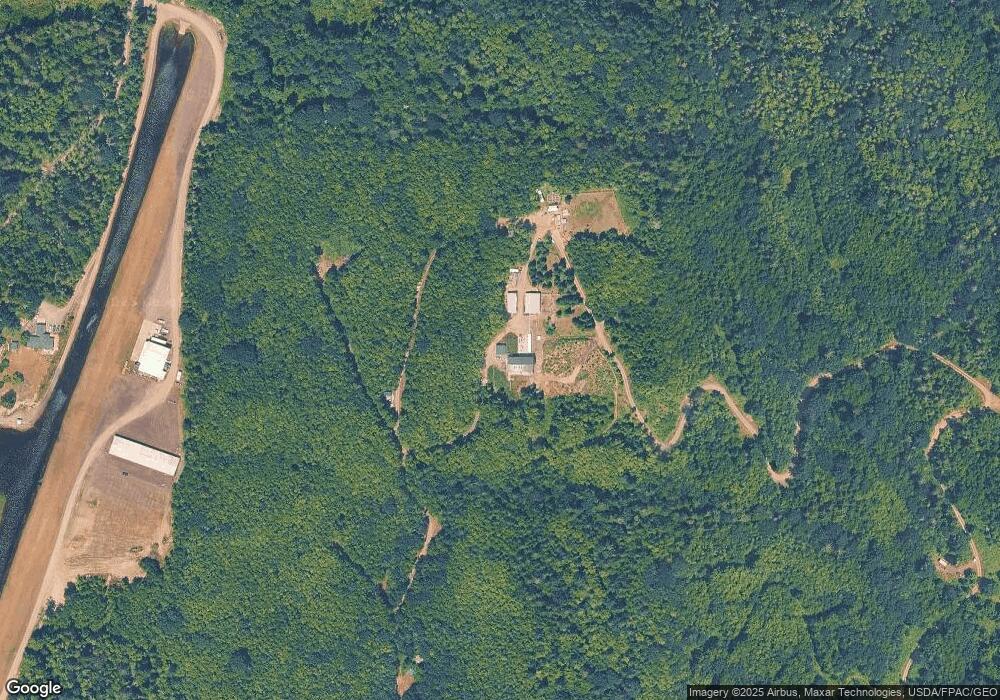
Map
Nearby Homes
- 813 Fairmount Rd
- NKA Lots 41 up Holland Dr Unit 45 - 48 Honeymoon La
- 9999 Holland Dr
- 4809 Old Gardiner Rd
- 9999 View Ridge - Lot 4 Dr
- Lot 4 View Ridge Dr
- 9999 Snow Creek Way E
- NKA Snow Creek Way E
- 0 Skidder Hill Rd Unit NWM2400640
- 681 Bachelor Rd
- 690 Naylor Creek Rd
- 9999 Old Schoolhouse Rd
- 999 Old Schoolhouse Rd Unit Gardiner Rd
- 56 Bayview Ln
- 106 Crocker Lake Rd
- 6062 State Route 20 Unit 35
- 6062 State Route 20 Unit 55
- 0 XXX Lake View Dr
- 6192 State Route 20
- 9999 S Discovery Rd
- 282082 Highway 101
- 282084 Us Highway 101
- 282084 Us Hwy 101
- 9999999 Hwy 101 Hwy
- 282224 U S 101
- 282224 Us Highway 101
- 282284 Us Highway 101
- 0 NNA U S 101
- 282332 Us Highway 101
- 18 W Uncas Rd
- 12 Store Rd
- 140 Store Rd
- 51 Maynard Rd
- 170 Store Rd
- 28 XXXX Highway 101
- 173 Fairmount Rd
- 0 Hwy 101
- 323 State Route 20