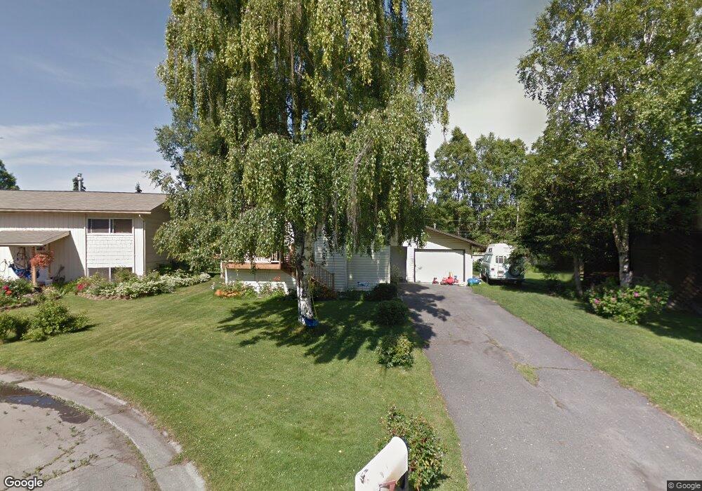
2821 Gillam Cir Anchorage, AK 99517
Turnagain NeighborhoodEstimated Value: $252,000 - $370,000
3
Beds
2
Baths
1,728
Sq Ft
$190/Sq Ft
Est. Value
About This Home
This home is located at 2821 Gillam Cir, Anchorage, AK 99517 and is currently estimated at $328,007, approximately $189 per square foot. 2821 Gillam Cir is a home located in Anchorage Municipality with nearby schools including Lake Hood Elementary School, Romig Middle School, and West High School.
Ownership History
Date
Name
Owned For
Owner Type
Purchase Details
Closed on
Nov 18, 2009
Sold by
Wells Fargo Financial Alaska Inc
Bought by
Ketchum Craig L and Ketchum Roberta S
Current Estimated Value
Purchase Details
Closed on
Sep 14, 2009
Sold by
Kelleher Dean A and Kelleher Evelyn C
Bought by
Wells Fargo Financial Alaska Inc
Purchase Details
Closed on
May 15, 1997
Sold by
Bolam Howard Scott and Bolam Shirley M
Bought by
Kelleher Dean A and Kelleher Evelyn C
Create a Home Valuation Report for This Property
The Home Valuation Report is an in-depth analysis detailing your home's value as well as a comparison with similar homes in the area
Home Values in the Area
Average Home Value in this Area
Purchase History
| Date | Buyer | Sale Price | Title Company |
|---|---|---|---|
| Ketchum Craig L | -- | Fatic | |
| Wells Fargo Financial Alaska Inc | $120,000 | None Available | |
| Kelleher Dean A | -- | -- | |
| Kelleher Dean A | -- | -- |
Source: Public Records
Mortgage History
| Date | Status | Borrower | Loan Amount |
|---|---|---|---|
| Closed | Kelleher Dean A | $0 |
Source: Public Records
Tax History Compared to Growth
Tax History
| Year | Tax Paid | Tax Assessment Tax Assessment Total Assessment is a certain percentage of the fair market value that is determined by local assessors to be the total taxable value of land and additions on the property. | Land | Improvement |
|---|---|---|---|---|
| 2025 | $4,548 | $307,400 | $96,300 | $211,100 |
| 2024 | $4,548 | $281,700 | $96,300 | $185,400 |
| 2023 | $4,436 | $260,500 | $96,300 | $164,200 |
| 2022 | $4,281 | $254,200 | $96,300 | $157,900 |
| 2021 | $4,163 | $231,000 | $96,300 | $134,700 |
| 2020 | $3,903 | $229,600 | $96,300 | $133,300 |
| 2019 | $3,769 | $230,400 | $96,300 | $134,100 |
| 2018 | $3,710 | $226,200 | $96,300 | $129,900 |
| 2017 | $3,812 | $243,400 | $96,300 | $147,100 |
| 2016 | $3,288 | $245,000 | $94,400 | $150,600 |
| 2015 | $3,288 | $234,200 | $94,400 | $139,800 |
| 2014 | $3,288 | $217,000 | $94,400 | $122,600 |
Source: Public Records
Map
Nearby Homes
- 2820 Wiley Post Ave
- 2925 W 36th Ave
- 2702 Mcrae Rd
- 3517 Vintage Cir
- 3516 Vintage Cir
- 3100 W 35th Ave
- 2511 Abbey Ln
- 3900 Crosson Dr
- 3913 Barbara Dr
- 2604 W 33rd Ave
- 2500 W 34th Ave
- 4000 Iowa Dr
- 2607 W 33rd Ave
- NHN Northwood Dr
- 5000 Northwood Dr
- 4302 Forrest Rd
- 3103 Barbara St
- 3618 Aldren Cir
- 3333 Lakeshore Dr Unit 5
- 3333 Lakeshore Dr Unit 2
- 2811 Gillam Cir
- 2831 Gillam Cir
- 2830 Wiley Post Ave
- 2810 Wiley Post Ave
- 2841 Gillam Cir
- 2801 Gillam Cir
- 2820 Gillam Cir
- 2810 Gillam Cir
- 2900 Wiley Post Ave
- 2800 Wiley Post Ave
- 2830 Gillam Cir
- 2840 Gillam Cir
- 2800 Gillam Cir
- 3811 Borland Cir
- 2910 Wiley Post Ave
- 2831 Wiley Post Ave
- 3801 Borland Cir
- 2821 Bennett Ave
- 3821 Borland Cir
- 2811 Bennett Ave