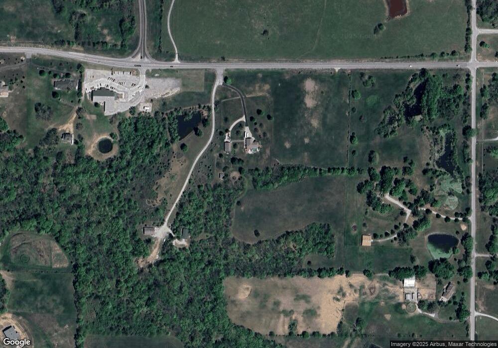
2821 NE State Route 92 Smithville, MO 64089
Estimated Value: $367,000 - $695,000
3
Beds
3
Baths
1,521
Sq Ft
$386/Sq Ft
Est. Value
About This Home
This home is located at 2821 NE State Route 92, Smithville, MO 64089 and is currently estimated at $586,377, approximately $385 per square foot. 2821 NE State Route 92 is a home located in Clay County with nearby schools including Horizon Elementary School, Smithville Middle School, and Smithville High School.
Ownership History
Date
Name
Owned For
Owner Type
Purchase Details
Closed on
Jul 20, 2017
Sold by
Hamilton Lance P and Hamilton Terri J
Bought by
The Jerry And Rosemarie L Kerns Joint Li
Current Estimated Value
Purchase Details
Closed on
Sep 19, 2000
Sold by
Taylor Dennis
Bought by
Hamilton Lance P and Hamilton Terri J
Home Financials for this Owner
Home Financials are based on the most recent Mortgage that was taken out on this home.
Original Mortgage
$230,000
Interest Rate
8.15%
Create a Home Valuation Report for This Property
The Home Valuation Report is an in-depth analysis detailing your home's value as well as a comparison with similar homes in the area
Home Values in the Area
Average Home Value in this Area
Purchase History
| Date | Buyer | Sale Price | Title Company |
|---|---|---|---|
| The Jerry And Rosemarie L Kerns Joint Li | -- | Stewart Title Co | |
| Hamilton Lance P | -- | Thomson Title Corporation |
Source: Public Records
Mortgage History
| Date | Status | Borrower | Loan Amount |
|---|---|---|---|
| Previous Owner | Hamilton Lance P | $230,000 |
Source: Public Records
Tax History Compared to Growth
Tax History
| Year | Tax Paid | Tax Assessment Tax Assessment Total Assessment is a certain percentage of the fair market value that is determined by local assessors to be the total taxable value of land and additions on the property. | Land | Improvement |
|---|---|---|---|---|
| 2025 | $4,320 | $71,440 | -- | -- |
| 2024 | $4,320 | $63,230 | -- | -- |
| 2023 | $4,122 | $63,230 | $0 | $0 |
| 2022 | $3,811 | $56,390 | $0 | $0 |
| 2021 | $3,839 | $56,392 | $11,495 | $44,897 |
| 2020 | $3,540 | $51,890 | $0 | $0 |
| 2019 | $3,568 | $51,890 | $0 | $0 |
| 2018 | $3,609 | $51,150 | $0 | $0 |
| 2017 | $3,051 | $51,150 | $9,100 | $42,050 |
| 2016 | $3,051 | $49,060 | $7,700 | $41,360 |
| 2015 | $3,037 | $49,060 | $7,700 | $41,360 |
| 2014 | $2,923 | $47,700 | $7,700 | $40,000 |
Source: Public Records
Map
Nearby Homes
- 2790 Onyx St
- 3221 Onyx St
- 3171 Onyx St
- 3121 Onyx St
- 2920 Onyx St
- 2891 Onyx St
- 14714 Emerald Ct
- 14713 Emerald Ct
- 16715 N Dundee Rd
- 3401 NE 153rd Terrace
- 15605 Quail Ridge Dr
- 1804 Brook Dr
- 12518 Mount Olivet Rd
- 20 Acres Mount Olivet Rd
- 14291 Cattle Ranch Dr
- 14290 Cattle Ranch Dr
- 14815 Black Oak Dr
- 1900 NE 159th St
- 1611 Sunrise Dr
- 1417 Sunrise Dr
- 2805 NE State Route 92
- 15022 Mount Olivet Rd
- 2417 NE 92 Hwy
- 2417 NE State Route 92
- 14924 Mount Olivet Rd
- 2407 NE State Route 92
- 2407 NE 92 Hwy
- 15113 Mount Olivet Rd
- 15005 Mount Olivet Rd
- 2219 NE State Route 92
- 15213 N Mount Olivet Rd
- 15001 Tillman Rd
- 3217 NE 153rd Terrace
- 14901 Wise Rd
- 3421 Missouri 92
- Lot 25 Estates @ Monterey Park N A
- Lot 26 Estates @ Monterey Park N A
- 3402 W Five Corners Rd
- 3219 NE 153rd Terrace
- 3216 NE 153rd Terrace
