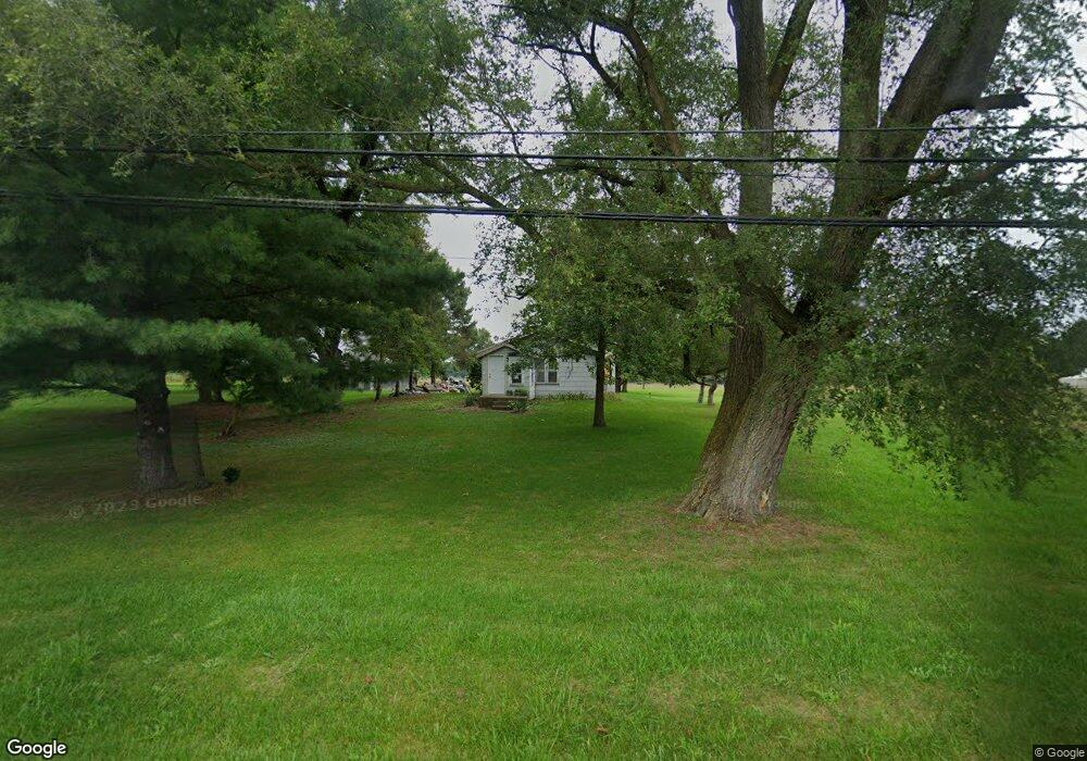
2821 Territorial Rd Benton Harbor, MI 49022
Benton Heights NeighborhoodEstimated Value: $85,835 - $150,000
--
Bed
--
Bath
1,232
Sq Ft
$89/Sq Ft
Est. Value
About This Home
This home is located at 2821 Territorial Rd, Benton Harbor, MI 49022 and is currently estimated at $109,959, approximately $89 per square foot. 2821 Territorial Rd is a home located in Berrien County with nearby schools including Fair Plain Middle School, Benton Harbor High School, and Benton Harbor Charter School Academy.
Ownership History
Date
Name
Owned For
Owner Type
Purchase Details
Closed on
Oct 27, 2020
Sold by
Michael Melton
Bought by
Berrien County Treasurer
Current Estimated Value
Purchase Details
Closed on
Oct 19, 2020
Sold by
Berrien County Treasurer
Bought by
Perez Ruby and Nieves Virgilio
Purchase Details
Closed on
Oct 14, 2020
Sold by
County Of Berrien
Bought by
Perez Ruby and Nieves Virgilio
Purchase Details
Closed on
Jul 1, 1998
Purchase Details
Closed on
May 4, 1992
Create a Home Valuation Report for This Property
The Home Valuation Report is an in-depth analysis detailing your home's value as well as a comparison with similar homes in the area
Home Values in the Area
Average Home Value in this Area
Purchase History
| Date | Buyer | Sale Price | Title Company |
|---|---|---|---|
| Berrien County Treasurer | -- | Berrien County Treasurer | |
| Perez Ruby | $23,250 | None Listed On Document | |
| Perez Ruby | $23,250 | None Available | |
| -- | $32,000 | -- | |
| -- | $32,000 | -- |
Source: Public Records
Tax History Compared to Growth
Tax History
| Year | Tax Paid | Tax Assessment Tax Assessment Total Assessment is a certain percentage of the fair market value that is determined by local assessors to be the total taxable value of land and additions on the property. | Land | Improvement |
|---|---|---|---|---|
| 2025 | $996 | $24,100 | $0 | $0 |
| 2024 | $704 | $20,900 | $0 | $0 |
| 2023 | $671 | $20,300 | $0 | $0 |
| 2022 | $639 | $17,900 | $0 | $0 |
| 2021 | $873 | $33,000 | $0 | $0 |
| 2020 | $1,356 | $50,100 | $0 | $0 |
| 2019 | $1,330 | $37,300 | $1,100 | $36,200 |
| 2018 | $1,503 | $37,300 | $0 | $0 |
| 2017 | $1,484 | $27,600 | $0 | $0 |
| 2016 | $1,456 | $28,600 | $0 | $0 |
| 2015 | $948 | $31,100 | $0 | $0 |
| 2014 | $419 | $40,700 | $0 | $0 |
Source: Public Records
Map
Nearby Homes
- VL Clinton Rd
- 0 Vl Clinton Rd
- 2480 Crawford Dr
- 846 N Benton Center Rd
- 617 Gestner Rd
- 2416 Highland Ave
- 1081 Villa Ct
- 948 Baldanza Ave
- 208 John Mccoy
- 640 O'Brien Dr
- 1626 Territorial Rd
- 140 N Crystal Ave
- 566 S Blue Creek Rd
- 0 Wickwire Rd
- 4156 Echo Rd
- 4262 Arrow Wood Curve
- 394 Linden St
- 1226 Chicago Ave
- 4520 Ross Dr
- 4540 Ross Dr
- 2799 Territorial Rd
- 2867 Territorial Rd
- 2875 Territorial Rd
- 2793 Territorial Rd
- 2804 Territorial Rd
- 2796 Territorial Rd
- 2887 Territorial Rd
- 2884 Territorial Rd
- 2772 Territorial Rd
- 2894 Territorial Rd
- 2862 Territorial Rd
- 2913 Territorial Rd
- 2918 Territorial Rd
- 2764 Territorial Rd
- 2756 Territorial Rd
- 2742 Territorial Rd
- 2724 Territorial Rd
- 2957 Territorial Rd
- 2950 Territorial Rd
- 2706 Territorial Rd