2822 St James Dr Unit L-10 Southport, NC 28461
Estimated Value: $654,000 - $759,475
4
Beds
4
Baths
3,101
Sq Ft
$234/Sq Ft
Est. Value
About This Home
This home is located at 2822 St James Dr Unit L-10, Southport, NC 28461 and is currently estimated at $725,869, approximately $234 per square foot. 2822 St James Dr Unit L-10 is a home located in Brunswick County with nearby schools including Virginia Williamson Elementary School, South Brunswick Middle School, and South Brunswick High School.
Ownership History
Date
Name
Owned For
Owner Type
Purchase Details
Closed on
Sep 1, 2022
Sold by
Simmons Rex A and Simmons Nancy A
Bought by
Simmons Rex Alan and Livin Nancy
Current Estimated Value
Purchase Details
Closed on
Aug 1, 2019
Sold by
Dade John K and Dade Susan E
Bought by
Simmons Nancy A
Home Financials for this Owner
Home Financials are based on the most recent Mortgage that was taken out on this home.
Original Mortgage
$350,075
Interest Rate
3.8%
Mortgage Type
New Conventional
Purchase Details
Closed on
Dec 1, 1994
Bought by
Dade John K Et Susan E
Create a Home Valuation Report for This Property
The Home Valuation Report is an in-depth analysis detailing your home's value as well as a comparison with similar homes in the area
Home Values in the Area
Average Home Value in this Area
Purchase History
| Date | Buyer | Sale Price | Title Company |
|---|---|---|---|
| Simmons Rex Alan | -- | -- | |
| Simmons Nancy A | $368,500 | None Available | |
| Dade John K Et Susan E | $60,000 | -- |
Source: Public Records
Mortgage History
| Date | Status | Borrower | Loan Amount |
|---|---|---|---|
| Previous Owner | Simmons Nancy A | $350,075 |
Source: Public Records
Tax History Compared to Growth
Tax History
| Year | Tax Paid | Tax Assessment Tax Assessment Total Assessment is a certain percentage of the fair market value that is determined by local assessors to be the total taxable value of land and additions on the property. | Land | Improvement |
|---|---|---|---|---|
| 2025 | $2,462 | $612,930 | $220,000 | $392,930 |
| 2024 | $2,462 | $612,930 | $220,000 | $392,930 |
| 2023 | $2,102 | $612,930 | $220,000 | $392,930 |
| 2022 | $2,102 | $385,890 | $99,000 | $286,890 |
| 2021 | $2,102 | $385,890 | $99,000 | $286,890 |
| 2020 | $2,102 | $385,890 | $99,000 | $286,890 |
| 2019 | $2,387 | $100,110 | $99,000 | $1,110 |
| 2018 | $2,310 | $122,650 | $121,000 | $1,650 |
| 2017 | $2,310 | $122,650 | $121,000 | $1,650 |
| 2016 | $2,310 | $122,650 | $121,000 | $1,650 |
| 2015 | $2,311 | $432,010 | $121,000 | $311,010 |
| 2014 | $2,007 | $407,521 | $140,000 | $267,521 |
Source: Public Records
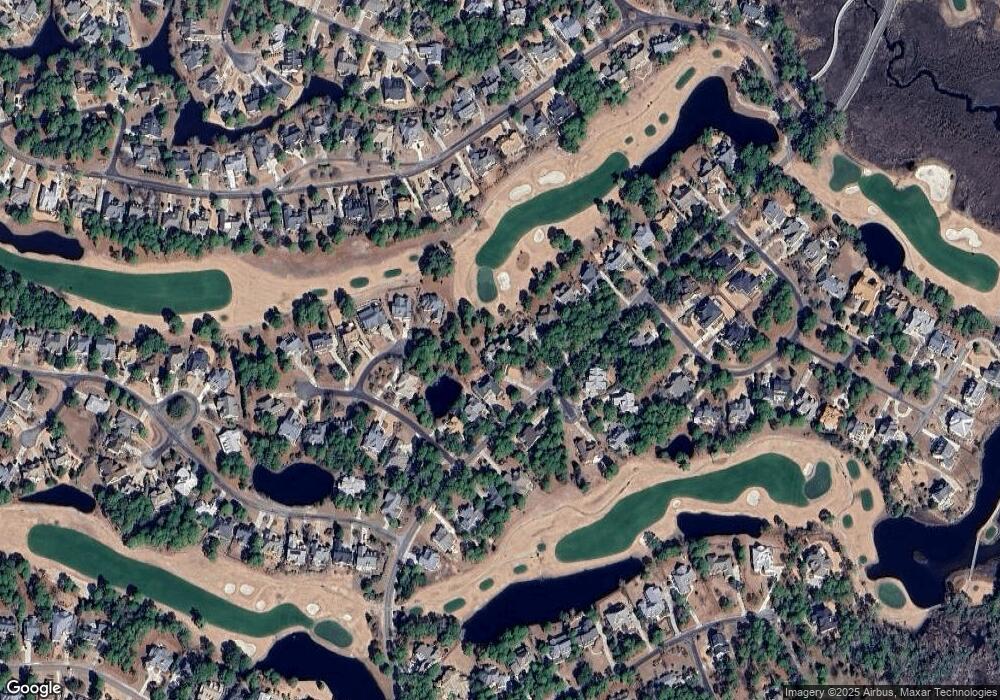
Map
Nearby Homes
- 4437 Wildrye Dr SE
- 4434 Wild Rye Dr SE
- 2815 Barberry Ct SE
- 4366 Nandina Dr SE
- 4356 Nandina Dr SE
- 2945 Moorings Way SE
- 2919 Trailwood Dr SE
- 2760 Marsh Point Ln SE
- 4513 Marsh Wood Ct SE
- 2892 Trailwood Dr SE
- 4315 Loblolly Cir SE
- 4379 Gauntlet Dr SE
- 2753 Ligustrum Ct
- 2860 Harborside Way
- 4268 Loblolly Cir SE
- 2611 Mariners Way SE
- 4260 Loblolly Cir
- 4386 Harbortown Cir SE
- 2741 Juneberry Ln SE
- 2836 Harborside Way
- 2822 St James Dr
- 2822 St James Dr
- 2822 Saint James Dr SE
- 2816 Saint James Dr SE
- 2810 Saint James Dr SE
- 2811 Barberry Ct SE
- 2838 Saint James Dr SE
- 2838 St James S3l8 Unit S3L8
- 4403 Salt Mist Ct SE
- 2804 Saint James Dr SE
- 2816 Barberry Ct SE
- 2846 Saint James Dr SE
- 4402 Salt Mist Ct SE
- 2807 Barberry Ct SE
- 2807 Barberry Ct SE Unit L-3
- 2805 Saint James Dr SE
- 2812 Barberry Ct SE
- 2854 Saint James Dr SE
- 4413 Salt Mist Ct SE
- 2795 Saint James Dr SE