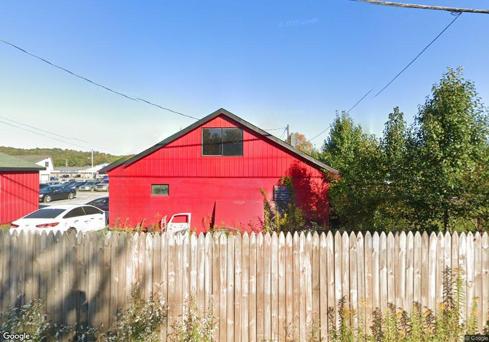
2823 Route 764 Duncansville, PA 16635
Estimated Value: $175,368 - $377,000
--
Bed
--
Bath
--
Sq Ft
0.52
Acres
About This Home
This home is located at 2823 Route 764, Duncansville, PA 16635 and is currently estimated at $230,842. 2823 Route 764 is a home with nearby schools including Foot of Ten Elementary School, Hollidaysburg Area Junior High School, and Hollidaysburg Area Senior High School.
Ownership History
Date
Name
Owned For
Owner Type
Purchase Details
Closed on
Sep 30, 2008
Sold by
Benson Dennis R and Benson Karen S
Bought by
Benson Jeffrey A
Current Estimated Value
Home Financials for this Owner
Home Financials are based on the most recent Mortgage that was taken out on this home.
Original Mortgage
$206,250
Outstanding Balance
$138,070
Interest Rate
6.57%
Mortgage Type
Commercial
Estimated Equity
$92,772
Create a Home Valuation Report for This Property
The Home Valuation Report is an in-depth analysis detailing your home's value as well as a comparison with similar homes in the area
Home Values in the Area
Average Home Value in this Area
Purchase History
| Date | Buyer | Sale Price | Title Company |
|---|---|---|---|
| Benson Jeffrey A | $225,000 | None Available | |
| Benson Jeffrey A | -- | None Available |
Source: Public Records
Mortgage History
| Date | Status | Borrower | Loan Amount |
|---|---|---|---|
| Open | Benson Jeffrey A | $206,250 | |
| Closed | Benson Jeffrey A | $206,250 |
Source: Public Records
Tax History Compared to Growth
Tax History
| Year | Tax Paid | Tax Assessment Tax Assessment Total Assessment is a certain percentage of the fair market value that is determined by local assessors to be the total taxable value of land and additions on the property. | Land | Improvement |
|---|---|---|---|---|
| 2025 | $2,158 | $139,000 | $56,400 | $82,600 |
| 2024 | $2,108 | $139,000 | $56,400 | $82,600 |
| 2023 | $1,982 | $139,000 | $56,400 | $82,600 |
| 2022 | $1,966 | $139,000 | $56,400 | $82,600 |
| 2021 | $1,919 | $139,000 | $56,400 | $82,600 |
| 2020 | $1,916 | $139,000 | $56,400 | $82,600 |
| 2019 | $1,867 | $139,000 | $56,400 | $82,600 |
| 2018 | $1,757 | $139,000 | $56,400 | $82,600 |
| 2017 | $14,282 | $139,000 | $56,400 | $82,600 |
| 2016 | $645 | $16,010 | $880 | $15,130 |
| 2015 | $645 | $16,010 | $880 | $15,130 |
| 2014 | $645 | $16,010 | $880 | $15,130 |
Source: Public Records
Map
Nearby Homes
- 721 Burns Ave
- 119 Spencer Creek Dr
- 3091 Colonial Dr
- 000 Harmony Dr
- 245 Harmony Dr
- 181 Shannon Dr
- 0 Wertz Ave
- 178 Brookwood Dr
- 158 Brookwood Dr
- 1031 Rosewood Dr
- 702 Maplewood Dr
- 811 Short Dr
- 1163 Cottonwood Dr Unit Lot 84
- 415 Orangewood Dr
- 407 Orangewood Dr
- 1123 Cottonwood Dr
- 326 Peachwood Dr
- 225 Mickel Ln
- 2411 Plank Rd
- Aspen Plan at Edgewood Acres
- 2829 Route 764
- 2821 Pennsylvania 764
- 2821 Route 764
- 2875 Pennsylvania 764 Unit 12
- 2875 Pennsylvania 764 Unit 10
- 561 Burns Ave
- 606 Burns Ave
- 3450 Colonial Dr
- 591 Burns Ave
- 610 Burns Ave
- 622 Burns Ave
- 3440 Colonial Dr
- 3544 Colonial Dr
- 2991 Route 764
- 2712 Route 764
- 614 Burns Ave
- 3430 Colonial Dr
- 3431 Colonial Dr (Former Old 6th Ave
- 3420 Colonial Dr
- 3401 Colonial Dr
