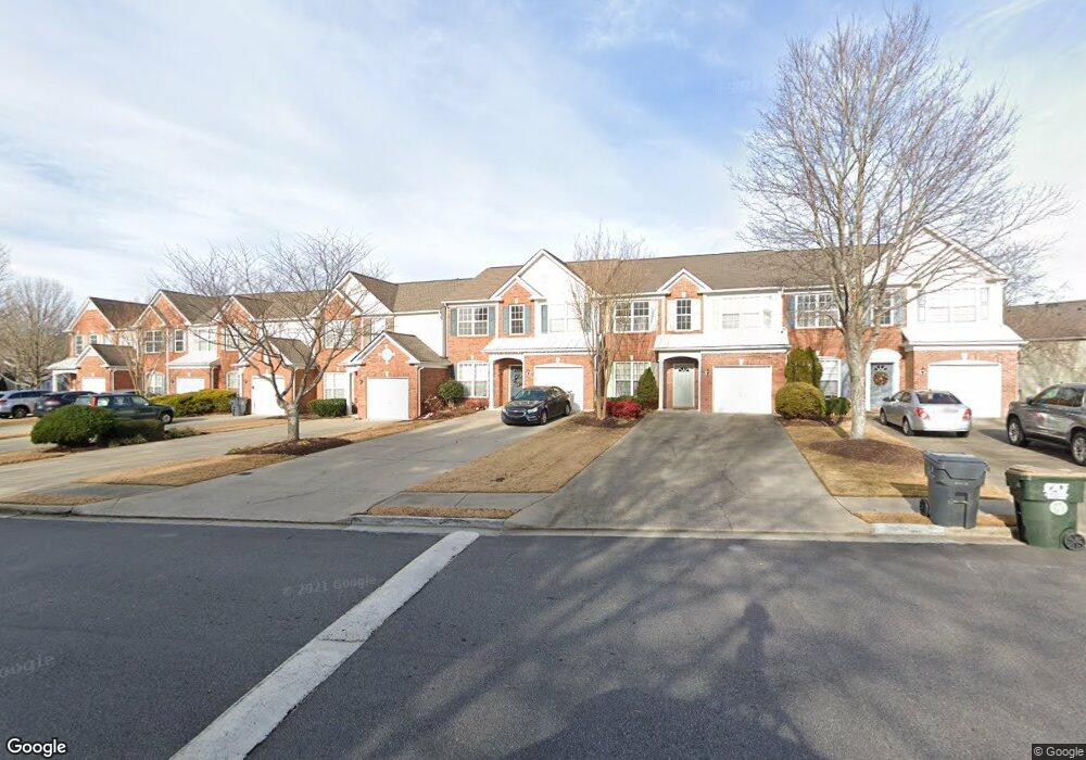
2825 Commonwealth Cir Unit 83 Alpharetta, GA 30004
Estimated Value: $395,013 - $453,000
3
Beds
3
Baths
1,390
Sq Ft
$303/Sq Ft
Est. Value
About This Home
This home is located at 2825 Commonwealth Cir Unit 83, Alpharetta, GA 30004 and is currently estimated at $420,503, approximately $302 per square foot. 2825 Commonwealth Cir Unit 83 is a home located in Fulton County with nearby schools including Cogburn Woods Elementary School, Hopewell Middle School, and Cambridge High School.
Ownership History
Date
Name
Owned For
Owner Type
Purchase Details
Closed on
Nov 5, 2002
Sold by
Pulte Home Corp
Bought by
Hanlon Rebecca L
Current Estimated Value
Home Financials for this Owner
Home Financials are based on the most recent Mortgage that was taken out on this home.
Original Mortgage
$157,409
Outstanding Balance
$65,737
Interest Rate
5.98%
Mortgage Type
FHA
Estimated Equity
$354,766
Create a Home Valuation Report for This Property
The Home Valuation Report is an in-depth analysis detailing your home's value as well as a comparison with similar homes in the area
Home Values in the Area
Average Home Value in this Area
Purchase History
| Date | Buyer | Sale Price | Title Company |
|---|---|---|---|
| Hanlon Rebecca L | $159,900 | -- |
Source: Public Records
Mortgage History
| Date | Status | Borrower | Loan Amount |
|---|---|---|---|
| Open | Hanlon Rebecca L | $157,409 |
Source: Public Records
Tax History Compared to Growth
Tax History
| Year | Tax Paid | Tax Assessment Tax Assessment Total Assessment is a certain percentage of the fair market value that is determined by local assessors to be the total taxable value of land and additions on the property. | Land | Improvement |
|---|---|---|---|---|
| 2025 | $342 | $147,440 | $29,520 | $117,920 |
| 2023 | $4,486 | $148,680 | $29,520 | $119,160 |
| 2022 | $1,795 | $116,800 | $23,120 | $93,680 |
| 2021 | $1,783 | $106,960 | $16,000 | $90,960 |
| 2020 | $1,797 | $102,840 | $15,280 | $87,560 |
| 2019 | $329 | $101,000 | $15,000 | $86,000 |
| 2018 | $2,131 | $92,720 | $25,160 | $67,560 |
| 2017 | $1,665 | $69,000 | $9,720 | $59,280 |
| 2016 | $1,663 | $69,000 | $9,720 | $59,280 |
| 2015 | $1,925 | $69,000 | $9,720 | $59,280 |
| 2014 | $1,619 | $65,560 | $7,960 | $57,600 |
Source: Public Records
Map
Nearby Homes
- 834 Sandringham Dr
- 232 Edinburgh Ct
- 933 Sandringham Dr
- 916 Sandringham Dr
- 422 Pembrooke Cir Unit 422
- 3196 Buck Way Unit 213
- 3184 Buck Way
- 3313 Twinrose Place
- 2917 Oakside Cir Unit 2958
- 3301 Lathenview Ct
- 840 Camelon Ct
- 3070 Serenade Ct
- 13237 Aventide Ln
- 2215 Traywick Chase
- 12890 Cogburn Rd
- 650 Chantress Ct
- 1055 Poppy Pointe
- 3221 Serenade Ct
- 2791 Ashleigh Ln Unit 179
- 2741 Ashleigh Ln
- 2827 Commonwealth Cir Unit 84
- 2823 Commonwealth Cir
- 2829 Commonwealth Cir
- 2829 Commonwealth Cir Unit 2829
- 2821 Commonwealth Cir
- 2831 Commonwealth Cir Unit 86
- 2819 Commonwealth Cir Unit 80
- 3115 Commonwealth Way
- E Commonwealth Cir
- 3117 Commonwealth Way Unit 2993
- 3117 Commonwealth Way Unit IV
- 3113 Commonwealth Way
- 3119 Commonwealth Way
- 3119 Commonwealth Way
- 3111 Commonwealth Way
- 3111 Commonwealth Way Unit 170
- 2843 Commonwealth Cir
- 3121 Commonwealth Way
- 3109 Commonwealth Way
- 2845 Commonwealth Cir Unit V