2825 NW Circle A Dr Portland, OR 97229
Estimated Value: $1,088,000 - $1,802,000
4
Beds
3
Baths
2,618
Sq Ft
$590/Sq Ft
Est. Value
About This Home
This home is located at 2825 NW Circle A Dr, Portland, OR 97229 and is currently estimated at $1,544,576, approximately $589 per square foot. 2825 NW Circle A Dr is a home located in Washington County with nearby schools including Terra Linda Elementary School, Sunset High School, and Goodtime Chinese School.
Ownership History
Date
Name
Owned For
Owner Type
Purchase Details
Closed on
Aug 18, 2012
Sold by
Blanton Stephen M and Blanton Georgiana M
Bought by
Blanton Stephen M and Blanton Georgiana M
Current Estimated Value
Purchase Details
Closed on
Dec 1, 1997
Sold by
Keith Michael and Keith Barbara J
Bought by
Blanton Stephen M and Blanton Georgiana M
Home Financials for this Owner
Home Financials are based on the most recent Mortgage that was taken out on this home.
Original Mortgage
$356,250
Outstanding Balance
$60,696
Interest Rate
7.31%
Estimated Equity
$1,483,880
Purchase Details
Closed on
Jul 3, 1995
Sold by
Evan George and Evan Joyce M
Bought by
Keith Michael and Keith Barbara J
Home Financials for this Owner
Home Financials are based on the most recent Mortgage that was taken out on this home.
Original Mortgage
$319,600
Interest Rate
7.9%
Create a Home Valuation Report for This Property
The Home Valuation Report is an in-depth analysis detailing your home's value as well as a comparison with similar homes in the area
Home Values in the Area
Average Home Value in this Area
Purchase History
| Date | Buyer | Sale Price | Title Company |
|---|---|---|---|
| Blanton Stephen M | -- | None Available | |
| Blanton Stephen M | $475,000 | Chicago Title Insurance Co | |
| Keith Michael | $399,500 | First American Title Ins Co |
Source: Public Records
Mortgage History
| Date | Status | Borrower | Loan Amount |
|---|---|---|---|
| Open | Blanton Stephen M | $356,250 | |
| Previous Owner | Keith Michael | $319,600 |
Source: Public Records
Tax History Compared to Growth
Tax History
| Year | Tax Paid | Tax Assessment Tax Assessment Total Assessment is a certain percentage of the fair market value that is determined by local assessors to be the total taxable value of land and additions on the property. | Land | Improvement |
|---|---|---|---|---|
| 2025 | $12,474 | $764,700 | -- | -- |
| 2024 | $12,018 | $742,430 | -- | -- |
| 2023 | $12,018 | $720,810 | $0 | $0 |
| 2022 | $11,611 | $720,810 | $0 | $0 |
| 2021 | $11,193 | $679,440 | $0 | $0 |
| 2020 | $10,853 | $659,660 | $0 | $0 |
| 2019 | $10,494 | $640,450 | $0 | $0 |
| 2018 | $10,140 | $621,800 | $0 | $0 |
| 2017 | $9,778 | $603,690 | $0 | $0 |
| 2016 | $9,418 | $586,110 | $0 | $0 |
| 2015 | $9,097 | $569,040 | $0 | $0 |
| 2014 | $8,861 | $552,470 | $0 | $0 |
Source: Public Records
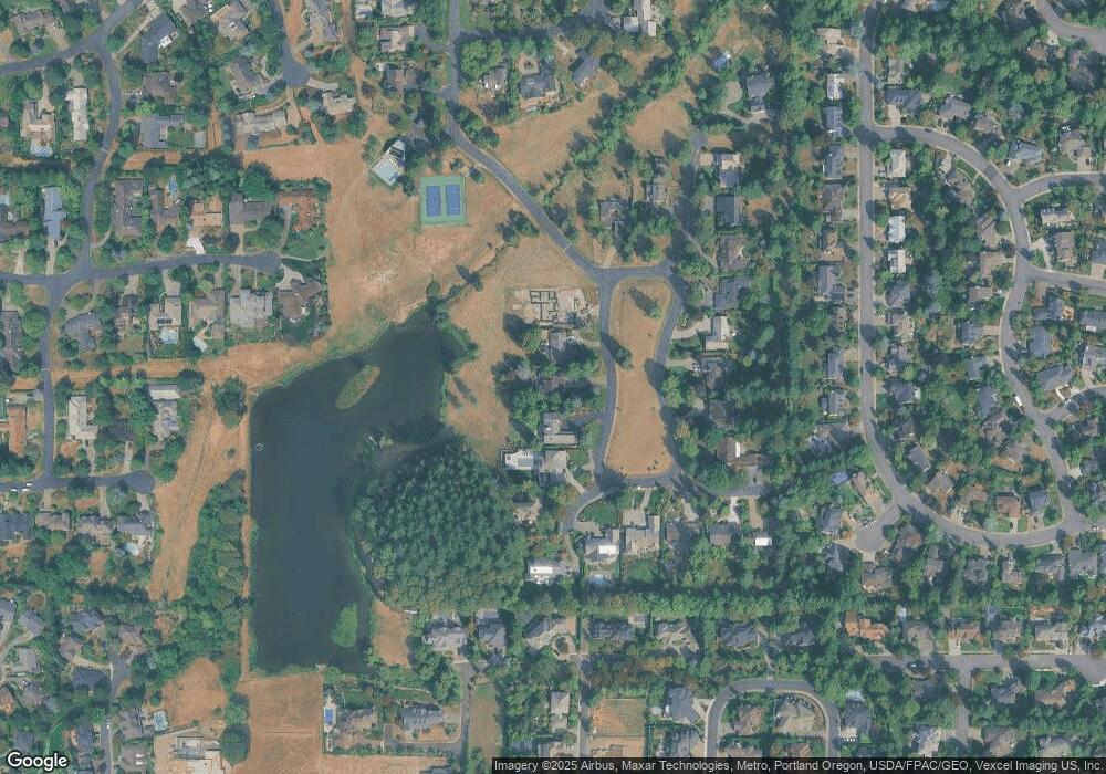
Map
Nearby Homes
- 13159 NW Dumar St
- 2920 NW 144th Ave
- 13187 NW Burton St
- 13007 NW Harvest Lot 6 St
- 13021 NW Harvest St
- 3105 NW 144th Ave
- 14280 NW Burton St
- 3782 NW Hilton Head Terrace
- 1950 NW 143rd Ave Unit 99
- 2335 NW 145th Ave
- 1946 NW 143rd Ave Unit 92
- 3816 NW Tustin Ranch Dr
- 3379 NW Banff Dr
- 2361 NW Origami Ct
- 3830 NW 142nd Terrace
- 1924 NW 143rd Ave Unit 58
- 1912 NW 143rd Ave Unit 23
- 1914 NW 143rd Ave Unit 28
- 1914 NW 143rd Ave Unit 25
- 12584 NW Hartford St
- 2805 NW Circle A Dr
- 2845 NW Circle A Dr
- 2785 NW Circle A Dr
- 2865 NW Circle A Dr
- 2765 NW Circle A Dr
- 2725 NW Circle A Dr
- 2840 NW Circle A Dr
- 2745 NW Circle A Dr
- 3020 NW Circle A Dr
- 2820 NW Circle A Dr
- 2860 NW Circle A Dr
- 2720 NW Circle A Dr
- 2800 NW Circle A Dr
- 2880 NW Circle A Dr
- 3000 NW Circle A Dr
- 2900 NW Circle A Dr
- 2577 NW Jonathan Place
- 2577 NW Jonathon Place
- 2568 NW 138th Place
- 2600 NW Jonathon Place