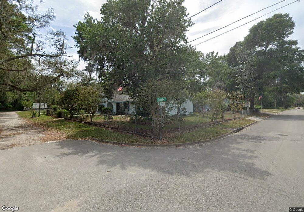
2826 1st St Deland, FL 32720
North DeLand NeighborhoodEstimated Value: $293,738 - $332,000
3
Beds
2
Baths
1,892
Sq Ft
$166/Sq Ft
Est. Value
About This Home
This home is located at 2826 1st St, Deland, FL 32720 and is currently estimated at $314,435, approximately $166 per square foot. 2826 1st St is a home located in Volusia County with nearby schools including Citrus Grove Elementary, Deland High School, and Southwestern Middle School.
Ownership History
Date
Name
Owned For
Owner Type
Purchase Details
Closed on
Jan 22, 2007
Sold by
Candalinomolloy Patricia E and Candalino Patricia Ellen
Bought by
Molloy Patrick
Current Estimated Value
Purchase Details
Closed on
Aug 24, 2006
Sold by
Molloy Kathy Ann Bevington
Bought by
Molloy Patrick
Home Financials for this Owner
Home Financials are based on the most recent Mortgage that was taken out on this home.
Original Mortgage
$126,000
Interest Rate
6.73%
Mortgage Type
Stand Alone Refi Refinance Of Original Loan
Purchase Details
Closed on
Mar 15, 1987
Bought by
Molloy Patrick V
Purchase Details
Closed on
Dec 15, 1984
Bought by
Molloy Patrick V
Create a Home Valuation Report for This Property
The Home Valuation Report is an in-depth analysis detailing your home's value as well as a comparison with similar homes in the area
Home Values in the Area
Average Home Value in this Area
Purchase History
| Date | Buyer | Sale Price | Title Company |
|---|---|---|---|
| Molloy Patrick | -- | Attorney | |
| Molloy Patrick | -- | Volusia Title Services | |
| Molloy Patrick V | $69,500 | -- | |
| Molloy Patrick V | $70,500 | -- |
Source: Public Records
Mortgage History
| Date | Status | Borrower | Loan Amount |
|---|---|---|---|
| Previous Owner | Molloy Patrick | $126,000 |
Source: Public Records
Tax History Compared to Growth
Tax History
| Year | Tax Paid | Tax Assessment Tax Assessment Total Assessment is a certain percentage of the fair market value that is determined by local assessors to be the total taxable value of land and additions on the property. | Land | Improvement |
|---|---|---|---|---|
| 2025 | $1,493 | $112,546 | -- | -- |
| 2024 | $1,493 | $109,376 | -- | -- |
| 2023 | $1,493 | $106,190 | $0 | $0 |
| 2022 | $1,439 | $103,097 | $0 | $0 |
| 2021 | $1,466 | $100,094 | $0 | $0 |
| 2020 | $1,438 | $98,712 | $0 | $0 |
| 2019 | $1,461 | $96,493 | $0 | $0 |
| 2018 | $1,437 | $94,694 | $0 | $0 |
| 2017 | $1,410 | $92,746 | $0 | $0 |
| 2016 | $1,337 | $90,838 | $0 | $0 |
| 2015 | $1,358 | $90,207 | $0 | $0 |
| 2014 | $1,344 | $89,491 | $0 | $0 |
Source: Public Records
Map
Nearby Homes
- 1795 Trinidad St
- 1751 Salvadore St
- 1830 Saint Charles Terrace
- 1575 Weaver Oak Way
- 1580 Trinidad St
- 1420 Trinidad St
- 1480 Gaudrey St
- 1795 Ridgewood St
- 1460 Glenwood Rd
- 3221 Oaklea Dr
- 0 Grand Ave Unit MFRV4936076
- 1540 Ashley Oaks Dr
- 1296 Lemon St
- 1845 Lemon St
- 0 Emerald Woods Way
- 3660 Grand Ave
- 1149 Glenwood Trail
- 1130 Glenwood Trail
- 1555 Mercers Fernery Rd
- 2015 Hawk Haven Trail
- 1869 Trinidad St
- 1880 Salvadore St
- 1849 Salvadore St
- 1849 Street
- 1871 Salvadore St
- 1891 Trinidad St
- 1829 Trinidad St
- 2829 1st St
- 1886 Trinidad St
- 1889 Salvadore St
- 1926 Salvadore St
- 1926 Salvador St
- 1876 Gaudrey St
- 1921 Trinidad St
- 1819 Trinidad St
- 1816 Gaudrey St
- 1884 Gaudrey St
- 1830 Trinidad St
- 1890 Trinidad St
- 1899 Salvadore St